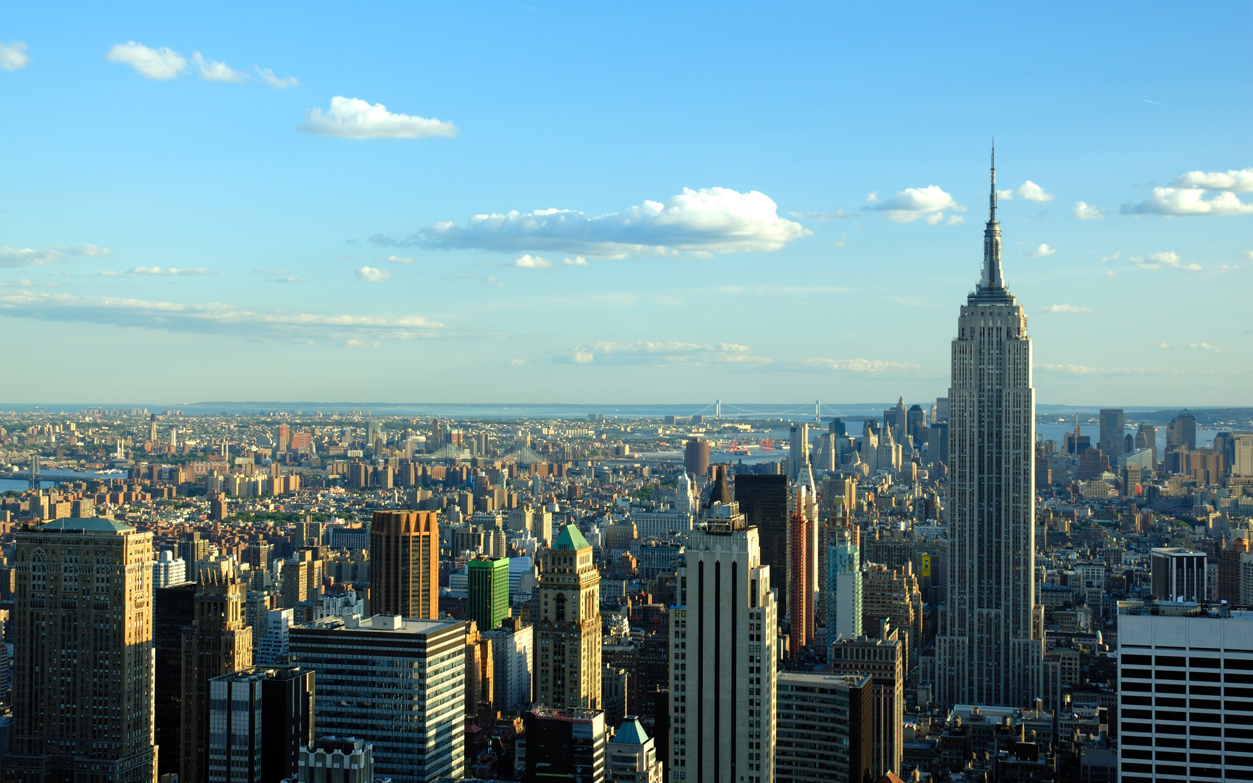
Navigating New York Harbor demands constant vigilance because commercial traffic, restricted channels, and intense local tidal currents collide in a dense urban waterway. Reading marine weather forecasts correctly is your primary defense against sudden squalls, zero-visibility fog, and dangerous wind-against-tide conditions that catch unprepared skippers off guard.
When you're planning an outing on the Hudson or East Rivers, standard land-based weather apps won't cut it. You need to decode specialized marine products issued by the National Weather Service and understand how local geography funnels wind and water around Manhattan and the surrounding bays.
Decoding the National Weather Service Marine Forecast
The National Weather Service (NWS) Upton, NY office covers the New York marine district, issuing specific coastal waters forecasts and zone reports. For the harbor, you'll want to reference specific zones like NOAA Marine Forecasts for New York Harbor and Western Long Island Sound.
When looking at these text bulletins, you'll encounter a standard shorthand. Winds are reported in knots (kt) with directions indicating where the wind is coming from. Wave heights reflect significant wave height—the average height of the highest one-third of waves—which means you can routinely expect occasional individual waves that are nearly double those published numbers, especially in constricted choke points.
Small Craft Advisories (SCAs) are your baseline safety threshold. In New York waters, an SCA typically triggers when sustained winds reach 21 to 33 knots or when hazardous seas develop. However, smaller vessels under 25 feet can easily find themselves in trouble well before an SCA is posted, particularly when local wind chop combines with heavy commercial vessel wakes.
The Unique Hazards of New York Harbor Geography
New York Harbor isn't a wide-open ocean playground; it's a high-density urban bottleneck shaped by restrictive channels, concrete bulkheads, and deep-draft container ships. Local geography drastically alters the wind and sea state compared to what's predicted for open coastal zones.
Funneling Effects in the Rivers
The Hudson River and the East River act as giant wind tunnels. When prevailing winds blow from the north or south, they align with the tall skyscrapers lining Manhattan and Jersey City. This creates accelerated wind speeds that can catch you off guard the moment you clear a slip or emerge from behind a pier.
The East River presents an even trickier puzzle due to Hell Gate, where constricted rocky channels meet opposing tidal flows. A moderate southerly breeze pushing against a maximum ebb current here creates steep, breaking standing waves that can swamp small open boats within seconds.
The Danger of Wind-Against-Tide Conditions
The single most important rule for New York Harbor skippers is matching your eye to the tide tables. Water flows into and out of the harbor through the Narrows with immense volume.
When strong winds blow opposite to the direction of the tidal current, the water surface chops up rapidly. An outgoing ebb current running against a stiff easterly or southerly blow jacks up wave heights, shortens wave periods, and turns a routine transit into a punishing, wet ride. Always check NOAA tide stations like The Battery Tides before leaving the dock.
Essential Data Sources Beyond Basic Forecasts
Relying on a single weather app is a recipe for disaster on New York waters. Professional skippers cross-reference multiple data streams to build an accurate picture of what's happening on the water.
- NOAA Weather Radio: Keep a VHF radio tuned to continuous marine broadcasts on channels WX2 (162.550 MHz) or WX3 (162.400 MHz) for real-time warnings and localized updates.
- Real-Time Buoy Networks: Check live observations from nearby platforms like New York Harbor observing stations to see if actual wind speeds match what the morning forecast predicted.
- Rapid Refresh Models: Utilize high-resolution atmospheric models that update hourly to track fast-moving convective storms rolling off the New Jersey Turnpike during humid summer afternoons.
Common Forecasting Mistakes Skippers Make
Even experienced boaters occasionally misinterpret marine forecasts because they apply land-based assumptions to a dynamic marine environment.
One frequent error is ignoring the wind gust factor. A forecast calling for winds of 10 to 15 knots might sound manageable, but unstable atmospheric conditions can easily produce sudden gusts up to 25 knots. In a narrow channel flanked by bulkheads, those gusts translate into sudden steering control issues near commercial docks and bridge pilings.
Another mistake is discounting morning fog. New York Harbor frequently experiences advection fog during the spring and early summer when warm, moist air moves over colder harbor water. A clear sunrise can turn into a zero-visibility pea-souper within thirty minutes, blinding you to ferry traffic and container vessels. Always ensure your GPS, radar, and sound-producing signals are operational before heading out in questionable visibility.
Frequently Asked Questions
How far in advance are New York Harbor marine forecasts reliable?
Forecasts within a 24 to 48-hour window offer high reliability for general wind direction and trend. Beyond 48 hours, frontal timing shifts frequently, so you should check updates every morning before departure.
Are commercial weather apps safe to use in the harbor?
Commercial apps are helpful for visual presentation, but they often interpolate data from distant land weather stations. Always verify commercial app data against official NWS marine zones before committing to a long transit.
What should I do if a sudden squall hits while I'm in the harbor?
Secure your passengers, don your life jackets immediately, and head for the nearest protected slip, marina, or lee of a stable pier. Keep clear of the main commercial shipping channels where large vessels have limited maneuverability in low visibility.
How do I account for commercial vessel wakes in the forecast?
Marine forecasts do not predict ship wakes. When large container ships or high-speed ferries transit narrow sections like the Kill Van Kull or Upper Bay, their displacement wakes can dwarf the natural wind waves predicted in your forecast. Always maintain a wide berth around commercial traffic.