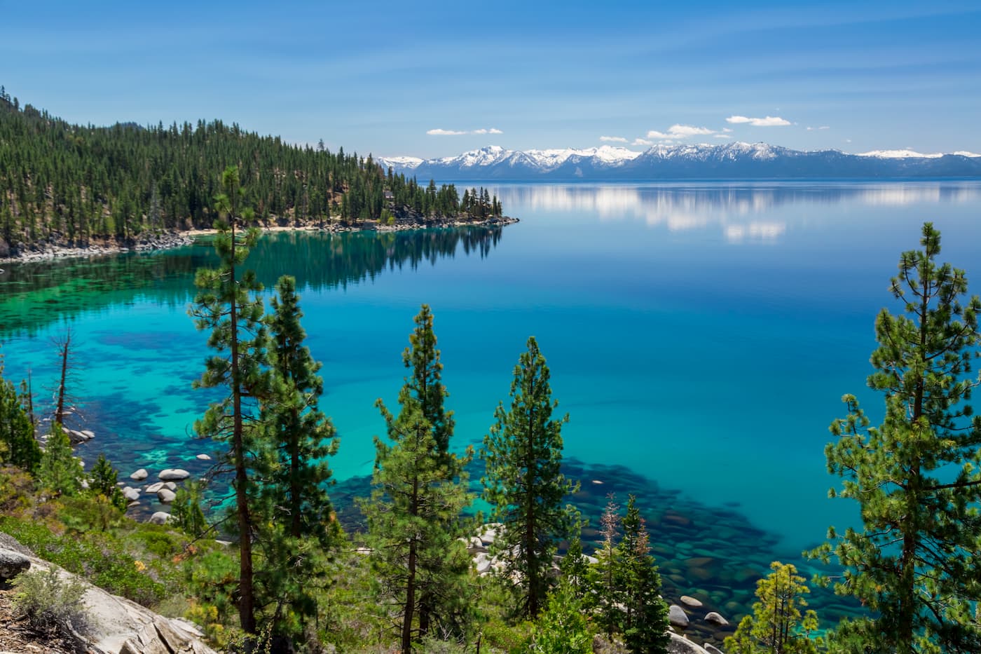
Nevada sits squarely in the western region of the United States, positioned within the Intermountain West and the Great Basin. It shares its western and southwestern border with California, its northern border with Oregon and Idaho, and its eastern border with Utah and Arizona. Spanning roughly 110,572 square miles, it ranks as the seventh-largest state by area in the country, yet its population concentrates heavily around urban hubs like Las Vegas and Reno, leaving vast stretches of remote terrain untouched.
Understanding the geographic identity of the Silver State requires looking past the neon lights of the Mojave Desert to examine the complex topography, regional boundaries, and climate zones that define this territory.
Exact Geographic Position and Borders
Nevada is a landlocked state, meaning it lacks a coastline on any ocean. Its borders create an irregular polygon defined by historical surveys and natural landmarks:
- Western Border: California forms the longest and most famous border with Nevada, cutting down the spine of the Sierra Nevada mountains and slicing through Lake Tahoe.
- Northern Borders: Oregon sits directly northwest, while Idaho occupies the northeast corner, tracking along the 42nd parallel north.
- Eastern Border: Utah borders the entire eastern edge along the 37th meridian west of Washington.
- Southern and Southeastern Border: Arizona meets Nevada along the Colorado River, encompassing the Hoover Dam and Lake Mead storage basins before hitting the southern tip near Laughlin.
While most residents and visitors operate on Pacific Time, a small pocket along the northeastern border with Idaho follows Mountain Time, reflecting the state's sprawling orientation.
The Basin and Range Topography
Nevada's defining physical characteristic is the Basin and Range Province. This geological phenomenon covers nearly the entire state, characterized by hundreds of north-south trending mountain ranges alternating with wide, arid valleys.
The earth's crust here has stretched over millions of years, causing blocks of land to drop down while others tilt upward. This creates sharp elevation changes. The highest peak, Boundary Peak, reaches 13,140 feet near the California border, while the lowest point drops down to 470 feet along the Colorado River in the south.
Water management in this topography presents constant challenges. Unlike states with extensive river networks, Nevada features endorheic basins—meaning water flows inward and evaporates rather than reaching the sea. The Humboldt River is the longest river entirely within the state, meandering across northern valleys before disappearing into sinks and mud flats.
Climate Zones and Environmental Diversity
People often picture Nevada as a flat, scorching sandbox, but its climate varies dramatically by latitude and elevation.
The Mojave Desert South
Southern Nevada falls within the Mojave Desert. This region features lower elevations, intense summer heat often exceeding 115 degrees Fahrenheit, and sparse vegetation like creosote bushes and Joshua trees. Cities like Las Vegas, Henderson, and Mesquite thrive here through complex water delivery systems tied to the Colorado River.
The Great Basin North
Northern and central Nevada belong to the Great Basin Desert. It's a cold desert environment where winter temperatures drop below freezing and snowfall blankets the high sagebrush valleys. Precipitation is low across the board, but mountain ranges catch enough moisture to support forests of pine, fir, and aspen.
Alpine Microclimates
Along the western edge, the Sierra Nevada range creates an alpine environment. Areas around Lake Tahoe receive heavy winter snowpacks, feeding local ski resorts and alpine streams that rush down toward Reno and Carson City.
Economic Geography and Resource Distribution
The state's geography directly shapes its economy and settlement patterns. Historically, the discovery of the Comstock Lode in 1859 near Virginia City drove the moniker "The Silver State", sparking mining towns across remote mountain ranges. Today, gold and silver mining remains a major economic engine in rural counties like Elko and Lander.
Water availability dictates where people live. More than 88 percent of Nevada's land is managed by the federal government—primarily the Bureau of Land Management and the U.S. Forest Service—due to early homesteading laws that failed to account for arid conditions. This leaves limited private land for housing and commercial development, concentrating growth into tight urban corridors.
Frequently Asked Questions
Is all of Nevada a desert?
No. While it is the most arid state in the country, Nevada features over 300 mountain ranges, alpine forests, high-altitude meadows, and major freshwater lakes like Tahoe and Pyramid Lake. High elevations often experience cold winters and heavy snow.
What time zone is Nevada in?
The vast majority of Nevada operates on Pacific Standard Time (PST) and observes Daylight Saving Time. However, West Wendover and a few small communities along the northeastern border officially use Mountain Time to align with neighboring Utah.
Why is Nevada called the Silver State?
The nickname originates from the massive mid-19th-century silver mining booms, most notably the Comstock Lode. This mineral wealth accelerated its admission into the Union during the Civil War on October 31, 1864.
How large is Nevada compared to other states?
Nevada covers 110,572 square miles, making it the seventh-largest state in the U.S. It is roughly the size of the country of Ecuador or slightly larger than the state of Colorado.



