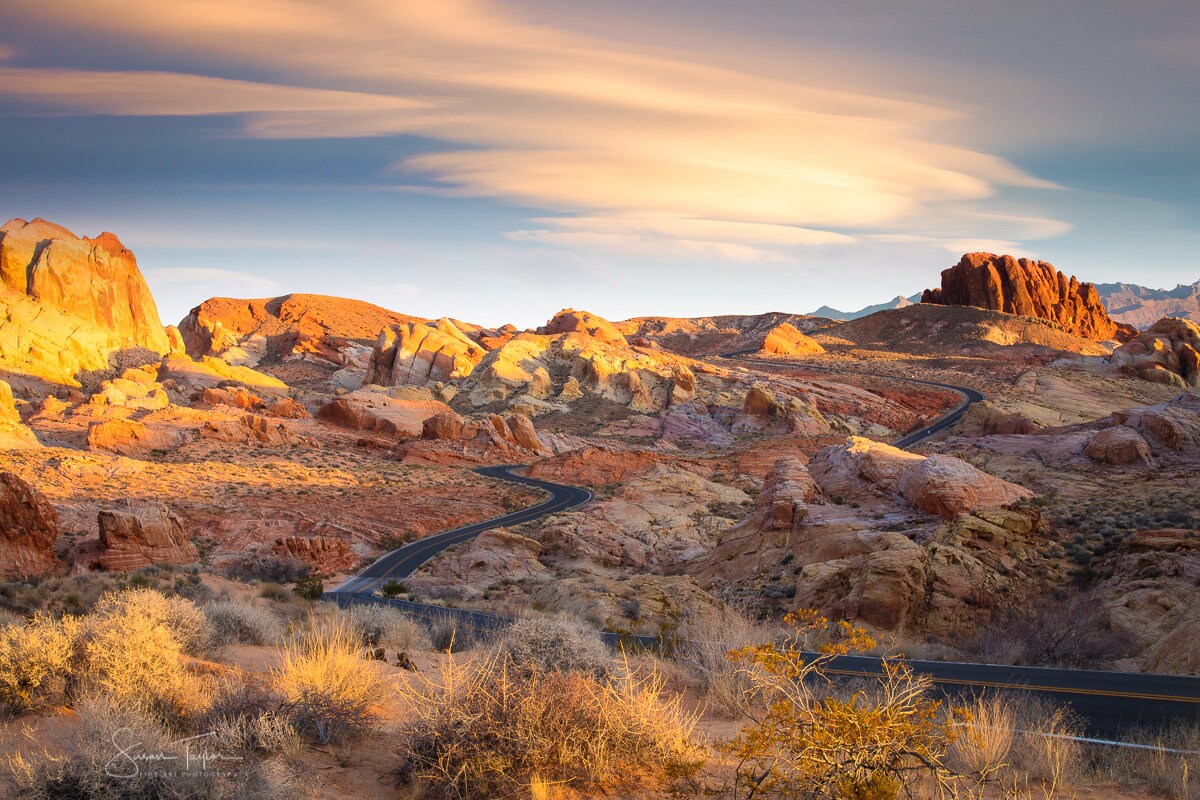
Nevada features 17 distinct local jurisdictions, consisting of 16 traditional counties and one independent city, Carson City. While the state's popular image centers on the neon of Las Vegas and the alpine shores of Lake Tahoe, its municipal map ranges from densely populated urban hubs to frontier expanses larger than several eastern states. Understanding how these divisions operate is essential for anyone researching property records, local taxation, voting districts, or regional history.
Geographic and political administration in the Silver State splits sharply between urban centers and rural outposts. Clark County alone holds over two-thirds of the state's residents, whereas frontier regions like Esmeralda County house fewer than a thousand people. Every jurisdiction handles its own local services, zoning laws, and administrative oversight under the guidance of the Nevada Association of Counties.
The Complete Breakdown of Nevada Jurisdictions
The state's political map took shape through decades of legislative changes, mining booms, and territorial adjustments. Below is the complete lineup of Nevada's 17 primary jurisdictions, detailing their county seats, establishment dates, and primary characteristics.
- Carson City: Operating as an independent city-county since its consolidation in 1969, Carson City serves as the state capital. It functions as both a municipal government and a county entity, covering 144 square miles with roughly 58,000 residents.
- Churchill County: Established in 1861 as one of the original administrative zones, Churchill County has its seat in Fallon. Known for agricultural production and the Fallon Naval Air Station, it spans 4,929 square miles.
- Clark County: Formed in 1909 from parts of Lincoln County, Clark County is anchored by Las Vegas, Henderson, and North Las Vegas. It holds the vast majority of the state's population across 7,911 square miles.
- Douglas County: Bordering California and Lake Tahoe, Douglas County was created in 1861 with its seat in Minden. It covers 710 square miles and centers heavily on tourism, outdoor recreation, and agriculture.
- Elko County: Spanning 17,182 square miles in the northeastern corner of the state, Elko County was carved out of Lander County in 1869. Its seat is the city of Elko, acting as a commercial hub for mining and ranching.
- Esmeralda County: Established in 1861, Esmeralda County has its seat in Goldfield. Once a booming gold-mining center in the early 20th century, it is now the least populated county in the state, with fewer than 800 residents.
- Eureka County: Created in 1873 during regional silver rushes, Eureka County centers around the historic town of Eureka. It covers 4,176 square miles and maintains a robust mining economy.
- Humboldt County: Located in northern Nevada, Humboldt County was founded in 1861 and is governed from its seat in Winnemucca. It spans 9,658 square miles, named after the winding river that cuts through the territory.
- Lander County: Formed in 1862 from portions of Churchill and Humboldt counties, Lander County shifted its seat to Battle Mountain in 1879. It covers 5,798 square miles.
- Lincoln County: Established in 1866 from Nye County and territory acquired from Arizona, Lincoln County has its seat in Pioche. It covers 10,635 square miles of rugged eastern terrain.
- Lyon County: Founded in 1861 as an original jurisdiction, Lyon County administers its affairs from Yerington. Situated east of Carson City, it covers 1,994 square miles and ranks among the faster-growing suburban commuter regions.
- Mineral County: Carved out of Esmeralda County in 1911, Mineral County is centered in Hawthorne, historically dubbed the "America's Patriotic Home" due to its massive military ammunition depot. It covers 3,757 square miles.
- Nye County: Established in 1864, Nye County is geographically massive, covering 18,147 square miles—making it larger than several U.S. states. Its seat is Tonopah, and the territory houses federal testing grounds alongside rural communities like Pahrump.
- Pershing County: Created in 1919 as the state's newest county addition, Pershing County split from Humboldt County. Its seat is Lovelock, and it spans 6,009 square miles along Interstate 80.
- Storey County: Spanning just 264 square miles, Storey County is Nevada's smallest jurisdiction by area. Established in 1861, its seat is Virginia City, the historic epicenter of the Comstock Lode silver boom.
- Washoe County: Formed in 1861, Washoe County anchors the state's northwest, containing Reno, Sparks, and the northern shore of Lake Tahoe. It spans 6,342 square miles and houses over 500,000 residents.
- White Pine County: Established in 1869 from Lander County, White Pine County has its seat in Ely. Covering 8,877 square miles, its economy relies heavily on copper mining, outdoor tourism, and Great Basin National Park.
Governance Structures and Special Jurisdictions
Managing land and resources across these 17 entities requires distinct legal frameworks. Unlike states where every square inch falls under a traditional county government, Nevada's vast federal land ownership changes how local policies function. The federal government manages roughly 85% of the state's total land area through agencies like the Bureau of Land Management and the U.S. Forest Service. For another look on this story, see the latest coverage from Reuters.
County commissions hold primary legislative and administrative powers in rural areas, while incorporated cities within those counties handle municipal services like police and fire protection.
- Commissioners: Most counties operate under a board of three or five elected commissioners who manage local budgets, county roads, and zoning ordinances.
- Independent Consolidation: Carson City operates under a charter combining municipal and county powers, removing the traditional layer of separate city and county governments.
- Unincorporated Towns: Large population centers like Pahrump in Nye County or Enterprise in Clark County lack their own city governments, relying instead on county oversight supplemented by elected town advisory boards.
Common Research Mistakes to Avoid
When investigating Nevada jurisdictions, researchers frequently run into a few recurring administrative pitfalls.
First, people often confuse Nevada County, California with the state of Nevada. Nevada County, California sits in the Sierra Nevada foothills and uses Nevada City as its seat, but it has zero political connection to the State of Nevada or its 17 jurisdictions.
Second, readers occasionally miscount the total number of divisions by treating Carson City as a regular city inside another county. Carson City functions independently, meaning it does not sit inside Ormsby County anymore—Ormsby County was completely dissolved upon consolidation in 1969.
Finally, expect shifting boundaries in historical records. Several original 1861 territories, such as Lake County and Roop County, were dissolved or partitioned into other regions or absorbed into California during early border adjustments.
Frequently Asked Questions
Which Nevada county is the largest by area?
Nye County is the largest jurisdiction in the state, covering 18,147 square miles. It is geographically larger than several U.S. states combined.
How many counties are actually in Nevada?
There are 17 primary local jurisdictions. This total includes 16 traditional counties and one independent city (Carson City).
Which county has the smallest population?
Esmeralda County holds the lowest population, with fewer than 800 permanent residents spread across its desert terrain.
Is Las Vegas part of its own county?
Yes. Las Vegas, along with neighboring cities like Henderson and North Las Vegas, sits entirely within Clark County, which handles regional public services for the Las Vegas metropolitan area.



