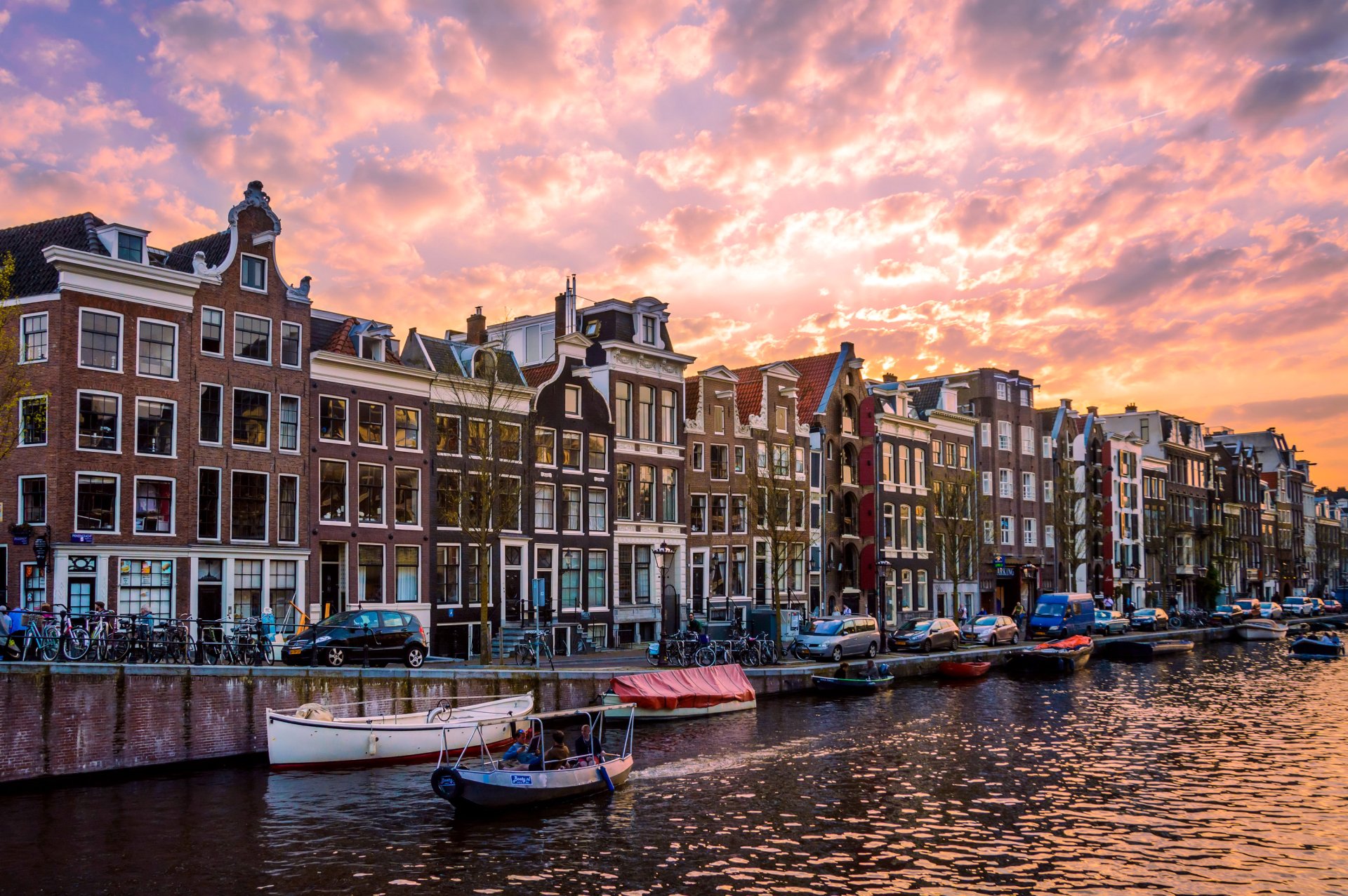
The Netherlands sits in Western Europe, bordered by the North Sea to the north and west, Germany to the east, and Belgium to the south. Positioned at the delta of three major European rivers—the Rhine, Meuse, and Scheldt—the country functions as a vital continental gateway. Its terrain is exceptionally flat, with roughly a quarter of its total landmass sitting below sea level, protected by an intricate system of dikes, dunes, and storm surge barriers.
This coastal positioning gives the nation unique economic and geopolitical leverage. It connects maritime trade routes from the Atlantic Ocean directly into the industrial heartland of Central Europe via inland waterways. Because of this layout, the country has evolved from a historic seafaring republic into a modern logistics powerhouse, anchored by heavy infrastructure like the Port of Rotterdam.
Precise Boundaries and Territorial Scope
The European territory of the Netherlands covers 41,543 square kilometers. It shares a 577-kilometer eastern land border with Germany and a 450-kilometer southern land border with Belgium. While most people picture only the European mainland, the Kingdom of the Netherlands also includes several island territories in the Caribbean, specifically Aruba, Curaçao, Sint Maarten, and the special municipalities of Bonaire, Sint Eustatius, and Saba.
Within Europe, the country is divided into twelve provinces: Observers at Bloomberg have shared their thoughts on this trend.
- North Holland and South Holland: These two provinces contain the country's major urban centers, including Amsterdam, Rotterdam, and The Hague.
- Utrecht: Situated centrally, it acts as a primary railway and transit nexus.
- The peripheral provinces: Regions like Groningen, Friesland, Drenthe, Overijssel, Gelderland, Flevoland, Zeeland, North Brabant, and Limburg shape the agricultural, industrial, and border-sharing dynamics of the state.
Topography and Water Management
The literal translation of the name is "lower countries," which reflects its physical reality. About 26 percent of the land lies below sea level, and more than half would flood regularly without human intervention. Centuries of land reclamation have created polders—tracts of low-lying land reclaimed from the water and enclosed by dikes.
Managing this water requires constant engineering. Major engineering marvels, such as the Delta Works (Deltawerken), protect the southwestern delta from sea surges. Instead of viewing water merely as a threat, Dutch infrastructure harnesses it. The intricate network of canals, estuaries, and canalized rivers allows freight barges to travel inland from the North Sea deep into Germany and France.
Strategic Position in European Trade
The geographic location makes the country an indispensable logistics hub for the European Union. Several factors drive this strategic advantage:
- The Port of Rotterdam: As the largest seaport in Europe, Rotterdam handles hundreds of millions of tons of cargo annually, serving as a primary entry point for goods arriving from Asia and the Americas.
- River Deltas: The Rhine-Meuse-Scheldt delta creates a natural highway system for commercial barge traffic, linking major manufacturing centers in Germany and Switzerland to global shipping lanes.
- Aviation Infrastructure: Amsterdam Airport Schiphol ranks among Europe’s top aviation hubs, offering high-density passenger and cargo connections worldwide.
- Road and Rail Density: The national motorway and rail networks connect directly into the Trans-European Transport Network, enabling rapid distribution of goods across neighboring economies within hours.
Climate and Environmental Influences
The North Sea heavily shapes the local weather. The region experiences a temperate maritime climate characterized by cool summers and mild winters. Prevailing westerly winds from the Atlantic Ocean moderate temperature extremes, preventing the severe freezes seen deeper inside the European continent.
Rainfall occurs throughout the year without distinct dry seasons. This consistent moisture supports a highly productive agricultural sector, making the nation a global leader in agricultural technology and food exports despite its small geographic footprint. You can explore detailed environmental reports via the PBL Netherlands Environmental Assessment Agency.
Frequently Asked Questions
Is the Netherlands part of Holland?
No. Holland refers strictly to two specific provinces within the country: North Holland and South Holland. Using "Holland" to describe the entire nation is common informally, but the official name of the country is the Netherlands.
Does the Netherlands share a land border with the UK?
No. While it faces the United Kingdom across the North Sea, they do not share a land border. Its only direct land neighbors are Germany to the east and Belgium to the south.
Why are so many parts of the country below sea level?
Centuries of peat extraction, land subsidence, and rising sea levels left large tracts of land underwater or vulnerable to flooding. Communities built dikes, drained lakes, and pumped water out to create habitable land, a process that began heavily in the Middle Ages.
How does its location impact its economy?
Because it sits at the mouth of Europe's busiest river systems facing the North Sea, it naturally became a center for international trade, shipping, and logistics, processing cargo bound for the rest of the European mainland.



