Mexico's postal code system, known locally as the código postal and managed by Correos de México (SEPOMEX), relies on a mandatory five-digit numeric structure. Unlike postal systems that map to a single city block or neighborhood, a single Mexican postal code frequently encompasses multiple colonias (neighborhoods), rural settlements, or commercial districts. Understanding how these digits are organized prevents cross-border shipping failures and billing rejections.
Every valid Mexican postal code consists of five digits, where the first two numbers pinpoint the federal entity or state, and the final three digits designate specific municipalities, zones, or delivery offices. Getting these digits right requires attention to detail, particularly regarding leading zeros that automated software often strips away.
Anatomy of a Mexican Postal Code
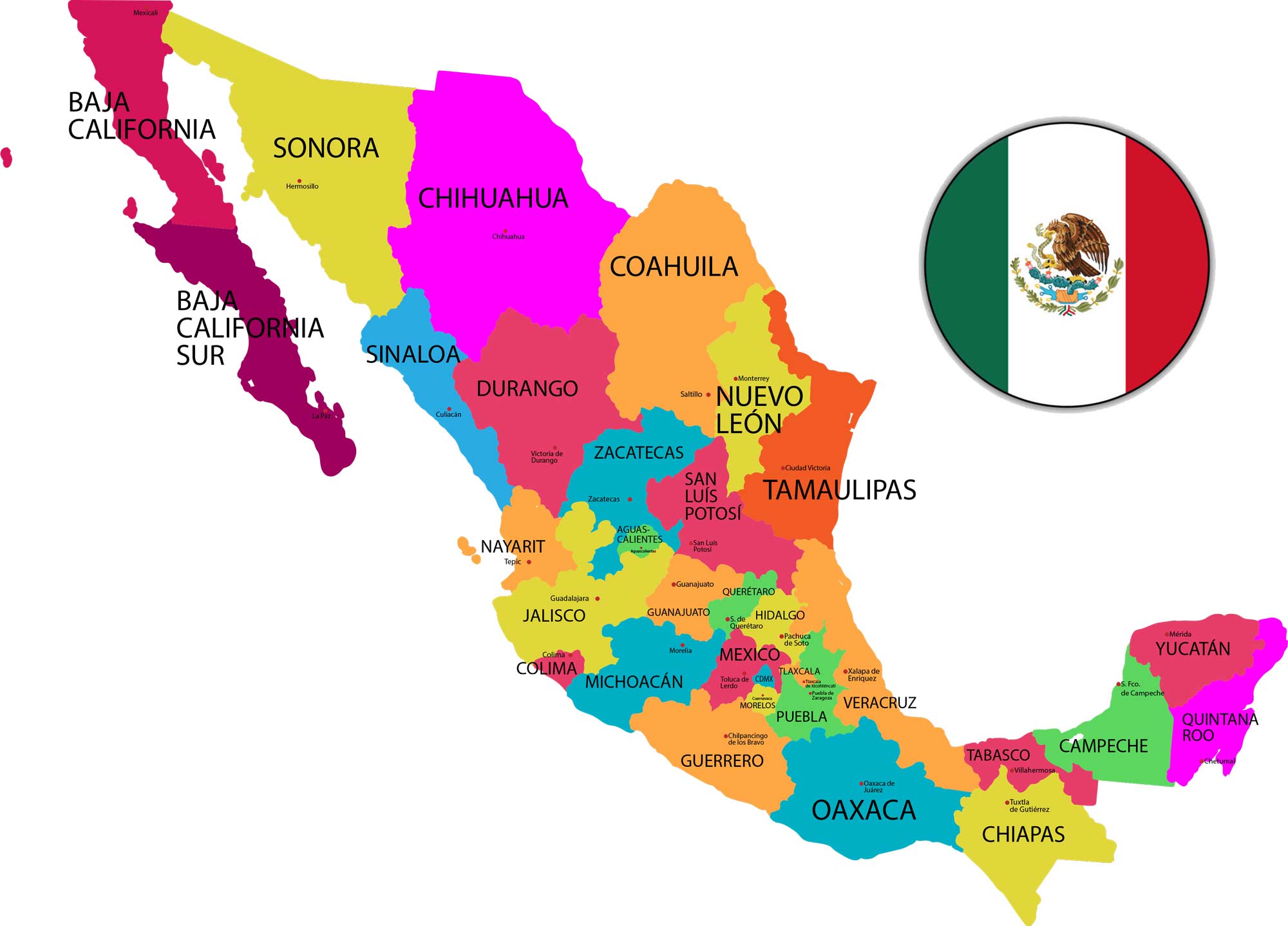
The five-digit framework is structured systematically across the country's 32 federal entities. The regional prefix dictates the geographical destination before narrowing down to local delivery hubs.
- The First Two Digits (01–16): These codes are reserved exclusively for Mexico City (Ciudad de México), with each number corresponding to a specific borough (demarcación territorial or alcaldía). For example, codes starting with 01 through 03 point directly to central urban boroughs like Álvaro Obregón or Benito Juárez.
- The First Two Digits (20–99): These ranges designate Mexico's 31 states. The assignment follows an alphabetical order based on historical Spanish state naming conventions. For instance, Aguascalientes starts with 20, while Zacatecas claims the 98–99 range.
- The Final Three Digits: These numbers pinpoint the exact municipality, local settlement, or urban delivery zone within that state.
A critical hazard during data entry involves the leading zero. Postal codes in Mexico City and surrounding regions frequently start with '0'—such as 06700 for Roma Norte in Mexico City. Standard spreadsheet applications and poorly configured web forms often treat these fields as numbers, automatically deleting the leading zero and turning 06700 into 6700, which results in an invalid destination. Always format address columns as text.
The Role of the Colonia
If you ship goods to Mexico or process international transactions, focusing solely on the five-digit code and the city name will cause delivery failures. In Mexican addressing, the colonia (neighborhood) is a mandatory line item.
Because one postal code often services several distinct colonias, postal carriers and couriers rely on the neighborhood name to determine the correct delivery route.
- Street and Number: The street name followed by the exterior number (and interior number for apartments).
- Colonia: The specific neighborhood or subdivision.
- Postal Code and City: The five-digit code followed by the municipality or city.
- State: The state name or standard two-letter abbreviation.
For official lookup, the national postal service maintains an official database through the Correos de México Portal. Cross-referencing your database against this directory ensures that street names match the assigned postal code and colonia.
Correct Addressing Formats
Structuring a label for Mexican mail requires a specific sequence. Reversing lines or omitting the colonia causes processing delays at local sorting facilities.
Recipient Name
Calle Francisco I. Madero 45, Int. 3
Colonia Centro
06000 Ciudad de México, CDMX
MEXICO
For business shipments, include the company name on the first line, followed by the recipient's department or attention line if necessary. In rural areas where street names may be absent, residents use local landmark descriptions or ranch names in place of a formal street address, making the postal code and colonia even more critical for successful delivery.
Common Mistakes to Avoid
- Omitting the Colonia: Assuming the five-digit code is enough to route a package inside a major metropolis like Guadalajara or Monterrey.
- Ignoring Tax Validation Rules: If you issue electronic invoices in Mexico (such as CFDI 4.0 documents regulated by the SAT Portal), the recipient's postal code must match the official tax registry exactly, or the system will reject the invoice.
- Using Outdated Third-Party Lists: Relying on unverified global ZIP databases instead of official SEPOMEX data files. Neighborhood expansions frequently lead to newly created postal codes that old databases miss.
Frequently Asked Questions
Why does my package to Mexico require a colonia if I already have the postal code?
A single postal code frequently covers multiple colonias within the same municipality. Without the colonia, couriers cannot determine which neighborhood block the address belongs to, leading to returned packages.
How can I verify if a Mexican postal code is valid?
You can check the code against the official Correos de México database or utilize a verified SEPOMEX-backed postal code data service. This prevents formatting errors and confirms that the state, municipality, and postal code align.
What should I do if my database drops the leading zero from postal codes?
Always enforce a text data type on any database field designated for postal codes. Spreadsheet applications and database imports drop leading zeros by default unless explicitly instructed to treat the entry as a text string.
Are postal codes required for Mexican tax invoices?
Yes. Under current fiscal rules governed by the tax authority, the postal code tied to a taxpayer's registered address must match official records during invoice generation. Mismatches cause immediate validation rejections.



