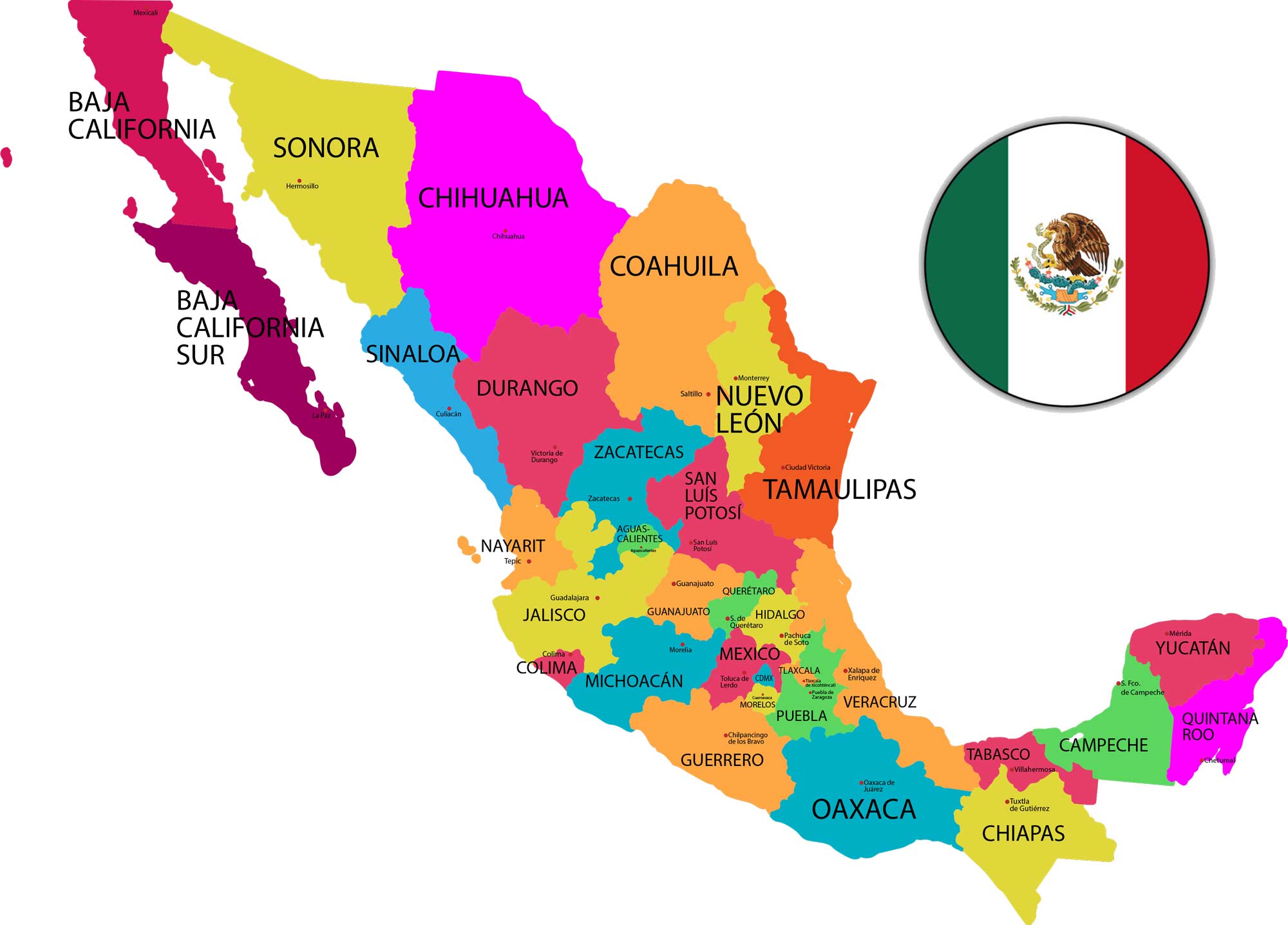
Finding Mexico City on a global map requires looking at precise geographic coordinates: 19.4285° N latitude and 99.1277° W longitude. These numbers place the sprawling metropolis in the northern and western hemispheres, sitting squarely within a high mountain basin known as the Valley of Mexico.
Understanding these coordinates does more than just help you drop a pin on a digital map. They explain why the city experiences its unique climate, why travelers often feel out of breath upon arrival, and how an ancient Aztec empire grew in the middle of a lake high above sea level.
Exact Coordinates and Map Formats
Depending on the navigation tool or GPS device you're using, coordinates are written in different formats. Here is how the numbers break down for Mexico City:
- Decimal Degrees: 19.4285° N, 99.1277° W
- Degrees, Minutes, and Seconds: 19° 25' 42" N, 99° 7' 39" W
- Simple Decimal (APIs/Software): 19.42847, -99.12766
These figures represent a central reference point, typically measured near the historic downtown area around the Zócalo. Because the urban area spans hundreds of square miles across mountains and former lakebeds, the coordinates shift slightly depending on whether you're standing in the southern hills of Tlalpan or the northern industrial zones of Gustavo A. Madero.
Why Elevation Changes the Map
While latitude and longitude tell you where a city sits on a flat grid, they don't show altitude. Mexico City sits at an average elevation of 2,240 meters (7,349 feet) above sea level.
That height makes it one of the highest major capital cities in the world, though countries like Bolivia boast administrative or constitutional capitals like La Paz at even higher altitudes.
The high altitude directly impacts daily life. Air pressure drops, meaning there are fewer oxygen molecules per breath. For travelers coming from coastal areas, this often triggers mild altitude sickness—locally known as mal de altura—characterized by headaches or fatigue during the first couple of days.
Geographic Location and Climate Impact
At roughly 19 degrees north of the equator, Mexico City sits in the tropics. You might expect scorching tropical heat year-round, similar to tropical beach resorts.
Instead, the high elevation acts as a natural air conditioner. Temperatures remain moderate throughout the year. Daytime highs usually hover in the mid-70s Fahrenheit (around 23°C to 25°C), while nights cool down significantly.
The region experiences two distinct seasons driven by shifting wind patterns across these coordinates:
- The Rainy Season: Runs from roughly June through October, bringing heavy afternoon downpours.
- The Dry Season: Lasts from November to May, featuring clear skies and very little precipitation.
Historical Geography: From Lake to Megacity
The latitude and longitude coordinates trace back to a fascinating geological history. Centuries ago, the Valley of Mexico was an endorheic basin—a bowl-shaped valley with no natural river outlets to the sea. A system of interconnected shallow lakes covered the floor.
In 1325, the Mexica (Aztecs) founded Tenochtitlán on a small island within Lake Texcoco, guided by their prophecy of an eagle perched on a cactus eating a snake. They built an expansive network of canals, causeways, and artificial agricultural islands called chinampas.
When Spanish conquistadors arrived in the 16th century, they drained much of the water to prevent flooding. Over the next five hundred years, urban sprawl covered the old lakebed entirely. Today, building massive skyscrapers on soft, ancient clay sediment creates unique engineering challenges, causing parts of the modern city to sink slightly every year.
Practical Navigation Tips Using Coordinates
If you're planning a trip or analyzing map data for the region, keep a few regional navigation quirks in mind:
- GPS Drift in Urban Canyons: Tall historic buildings in the Centro Histórico can sometimes cause GPS signals to bounce, making your phone map pin jump a block or two off. Look for visible landmarks like the Palacio de Bellas Artes to orient yourself.
- Cardinal Directions: Locals rarely use pure cardinal directions when giving street directions. Instead, they reference major landmarks (el metro, a specific park, or a famous monument like the Ángel de la Independencia).
- Time Zone: Mexico City operates on Central Standard Time (UTC-6), though daylight saving shifts can vary depending on federal legislation updates. You can check official timekeeping data via the National Institute of Statistics and Geography.
Frequently Asked Questions
Is Mexico City the highest capital in the world?
No. While it is one of the highest major global capitals, La Paz in Bolivia holds the title for the highest administrative capital in the world, sitting at over 3,600 meters (11,900 feet) above sea level. Quito, Ecuador, is also higher at roughly 2,850 meters.
How do I type Mexico City coordinates into Google Maps?
You can copy and paste the decimal coordinates (19.4285, -99.1277) directly into the search bar. Google Maps will automatically drop a pin on the central Zócalo area.
Why is Mexico City sinking?
The city was built on top of a drained lakebed consisting of soft, spongy clay. As millions of residents draw water from the underground aquifer faster than it can naturally replenish, the soil compresses, causing certain neighborhoods to sink by several centimeters annually.
What hemisphere is Mexico City in?
Mexico City is located entirely in the northern hemisphere and the western hemisphere.
Can I use my phone's GPS without cellular data in Mexico City?
Yes, but it's wise to download offline map data for the metropolitan area before heading out. Cellular dead zones can occasionally happen in underground metro stations or thick-walled historic buildings. Learn more about regional mapping standards through geographic databases like INEGI.



