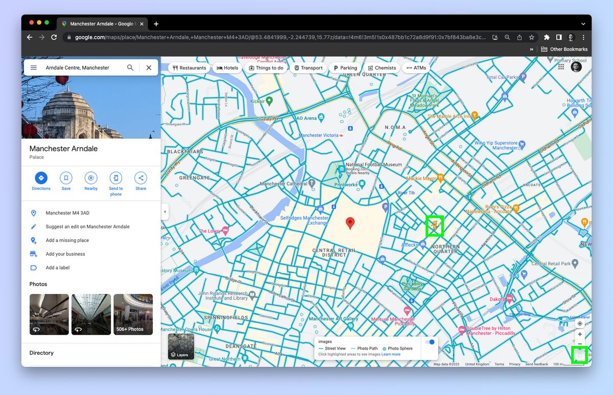
Getting stuck behind a stalled delivery truck on your morning route used to mean a blind guess at an alternate street. Today, maps driving directions use live GPS telemetry and incident feeds to bypass congestion before you hit it. This shift turns a static physical journey into a dynamic system that adapts to the road second by second.
Modern navigation platforms combine satellite tracking, crowd-sourced speed probes, and municipal sensor data to predict your arrival time within a tight window. Understanding how these routing engines calculate your path helps you avoid bad detours, prevent algorithm-induced neighborhood cut-throughs, and stay in control behind the wheel.
How Traffic Telemetry Works
Behind every turn prompt lies a continuous exchange of location data between millions of mobile devices and cloud servers. When you drive with an active navigation app, your phone pings the provider with coordinates and velocity stats every few seconds.
- Speed Probes: Aggregated velocity points from thousands of drivers reveal slow-downs long before an official accident report is logged.
- Infrastructure Feeds: Loop detectors embedded in highways and traffic camera feeds verify municipal blockages and construction zones.
- Predictive Modeling: Historical averages fill in the gaps for recurring rush hour bottlenecks based on day of week and weather patterns.
This raw data gets processed by routing algorithms that weigh distance against active delay scores. Instead of just picking the shortest physical line, the system calculates which path saves the most actual minutes right now.
The Mechanics of Dynamic Routing Engines
When you type an address into your phone, the engine runs a graph search across a digital road network split into thousands of individual segments. Each segment holds metadata like speed limits, lane counts, historical congestion delays, and turn restrictions.
As traffic builds on a major highway, the algorithm recalculates costs for adjacent alternate routes. If the highway delay exceeds the time penalty of taking surface streets, the system shifts your route. This happens dynamically while you drive, which is why a minor accident two miles ahead can trigger an instant mid-trip reroute.
[GPS Telemetry] --> [Cloud Server Aggregation] --> [Graph Engine Cost Recalculation] --> [Active Route Push]
According to the Federal Highway Administration, managing arterial and highway networks through real-time data integration significantly cuts down idle fuel waste across urban centers.
Common Navigation Pitfalls and Failures
Even with advanced satellites and machine learning models, digital maps make mistakes that can strand you on unsuitable roads. Knowing these failure points keeps you out of trouble.
- Blindly Following Shortcuts: Algorithms often route heavy traffic onto narrow residential side streets designed for low volumes, creating gridlock and safety hazards for pedestrians.
- Outdated Map Metadata: Newly constructed roundabouts, altered one-way streets, or temporary construction shifts can confuse routing engines that haven't received recent server updates.
- Low-Clearance and Weight Hazards: Standard consumer apps occasionally direct oversized vehicles, box trucks, or RVs under low railway bridges or onto weight-restricted rural bridges.
- Cellular Dead Zones: Losing mobile data connection in remote regions freezes your dynamic updates, locking you into whatever cached route the app loaded last.
Practical Steps to Optimize Every Commute
You can actively configure your navigation setup to prevent frustrating routing errors and save precious time on your daily drive.
- Check the Route Overview Before Departure: Spend five seconds scanning the full path for weird loops or unnecessary side-street cuts before tapping start.
- Set Vehicle-Specific Profiles: If your app supports it, input your vehicle dimensions or avoidances (such as toll roads or dirt tracks) to filter out bad paths.
- Update Map Celines: Download offline regional maps over home Wi-Fi so you don't lose guidance when driving through rural cellular dead zones.
- Report Map Errors Promptly: Use the built-in reporting tool in your app to flag incorrect turn restrictions, missing speed limit signs, or closed roads for other drivers.
As smart cities evolve, connected vehicle initiatives are beginning to sync navigation directly with Department of Transportation smart traffic lights. This synergy allows municipal systems to coordinate green waves for heavy commuter corridors, making your daily drive smoother from end to end.
Frequently Asked Questions
Why does my navigation app try to send me down residential side streets?
Algorithms prioritize minimizing travel time above all else. When a main highway backs up, the routing engine scans every parallel street segment. If a neighborhood cut-through mathematically saves two minutes, the system suggests it, regardless of whether those streets are built for high-volume traffic.
How do navigation apps know about accidents before police reports are filed?
Apps detect sudden drops in average vehicle speeds across hundreds of phones traveling the same stretch of road. When traffic velocity drops to near-zero mid-highway, the system flags an anomaly and generates a hazard alert instantly.
Why do estimated arrival times sometimes jump up mid-trip?
Arrival estimates rely on current downstream traffic speeds. If a new accident occurs further ahead or congestion worsens at an upcoming bottleneck, the predictive model updates your remaining travel time to reflect the new delay reality.
Can I trust my GPS when driving in heavy snow or severe weather?
Use extra caution. Heavy precipitation obscures road markings and forces drivers to slow down uniformly, which can confuse automated traffic flow sensors and cause the routing engine to miscalculate safe travel speeds.



