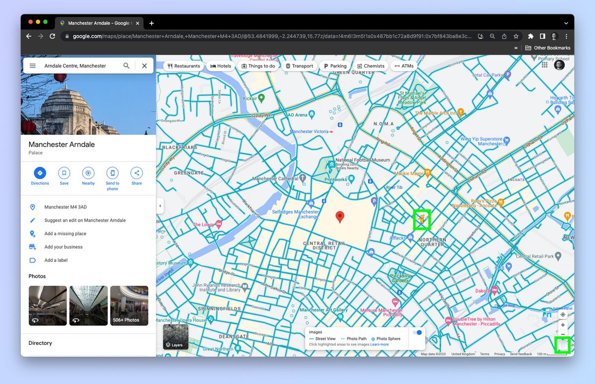
Mastering maps and driving directions saves you hours of frustration, wasted fuel, and wrong turns. Whether you're navigating remote mountain terrain or dense urban grids, professional routing relies on preparation, redundancy, and smart tool configuration rather than blind trust in a single application.
Modern route planning goes far beyond tapping an address into a smartphone screen. If you want to bypass traffic bottlenecks, avoid dead zones where cellular data fails, and handle unexpected road closures like a seasoned courier or expedition driver, you need to understand how digital map layers, offline caching, and GPS hardware actually work together.
Choosing and Configuring Your Navigation App
Not all mapping platforms handle every journey equally well. Google Maps excels at real-time traffic updates and local business data in populated areas, while Apple Maps offers cleaner lane guidance and privacy-focused routing on iOS devices. For off-grid travel, specialized topographic tools like Backroad Mapbooks or open-source vector maps provide crucial details that mainstream apps omit.
You shouldn't leave factory settings alone if you want reliable directions. Adjust your app preferences before you start moving:
- Disable toll roads or highways only if you have a specific reason to take scenic routes, as unexpected detours can add hours to a tight schedule.
- Download offline maps covering your entire route range. Cellular dead zones will freeze an active navigation screen right when you need an exit ramp.
- Enable satellite view layers when exploring remote trailheads or industrial parks where street addresses fail to pinpoint exact entrances.
- Turn on traffic incident alerts so your software can dynamically reroute you around accidents before you get trapped in a queue.
Reading Topography and Route Layers
A standard 2D vector map only shows what is flat on the surface, but understanding terrain elevation prevents dangerous miscalculations. Contour lines on topographic maps indicate steep grades, mountain passes, and river crossings that affect vehicle fuel efficiency and winter driving safety.
When you look at a digital map layer, pay close attention to color coding and road classifications. Primary highways maintain high speed limits and constant maintenance, while secondary logging roads or seasonal tracks might require high-clearance four-wheel-drive vehicles. Professional drivers cross-reference multiple mapping data sets to check whether a minor shortcut is actually an unpaved gravel path prone to washouts.
Mastering Real-Time Traffic and Dynamic Rerouting
Traffic congestion destroys precise arrival estimates. Effective navigation means knowing when to accept a suggested detour and when to ignore it. Algorithms often suggest side-street shortcuts that save two minutes on paper but dump you into four consecutive school zones with heavy stop-and-go traffic.
If your navigation app prompts a sudden route change, evaluate the time saved against the complexity of the maneuver. Cutting across three lanes of fast-moving freeway traffic to catch a sudden exit ramp is rarely worth a 90-second time savings. Trust your situational awareness over automated prompts when navigating complex urban interchanges.
Handling GPS Failures and Dead Zones
Cellular network drops will eventually interrupt your live streaming directions. When your screen goes blank or spins while searching for a signal, don't panic. Modern smartphones still receive GPS satellite signals directly, even when cellular data is completely unavailable.
If you lose internet connectivity:
- Keep your navigation app open; the pre-cached route will usually continue tracking your GPS coordinates against downloaded map tiles.
- Look for physical milestones, exit numbers, and highway marker posts to cross-reference your position if the map interface freezes entirely.
- Pull over safely at a designated rest stop or well-lit commercial area before trying to restart your phone or troubleshoot connection drops.
Frequently Asked Questions
Why do navigation apps sometimes send me down residential side streets?
Algorithms calculate the absolute fastest mathematical path based on current traffic speeds. If a main arterial road slows down due to congestion, the routing engine diverts traffic through secondary residential grids until those side streets also reach capacity.
How can I save battery life during long-distance driving?
Lower your screen brightness, plug your device into a high-amperage vehicle charger, and download offline map regions before departing to minimize continuous cellular data downloading.
What should I do if my map app shows a road closure that isn't there?
Report the error through the app feedback interface if it's safe to do so, but always follow physical road signage and traffic control personnel instructions over conflicting digital data.
Are offline maps completely reliable without cellular service?
Yes, as long as you successfully downloaded the specific regional data package before losing connection. GPS chips receive satellite positioning data independently of cellular towers.


