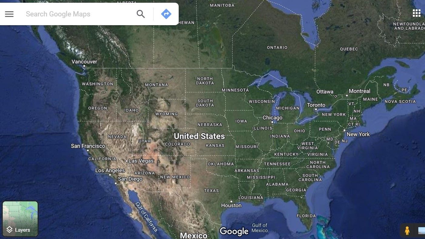
Getting from one place to another shouldn't feel like solving a puzzle. Whether you're commuting across a congested city or planning a cross-country road trip, efficient navigation relies on choosing the right tools, anticipating delays, and reading terrain accurately. This guide breaks down practical strategies to plan smarter routes, save time, and avoid common travel mistakes.
Modern digital navigation apps do much more than draw a blue line on a screen. By combining satellite positioning, historical traffic patterns, and live crowdsourced reports, platforms like Google Maps and OpenStreetMap process millions of data points every second. Yet, relying blindly on a single app can lead to frustrating detours or missed exits. Mastering your journey starts with understanding how these digital systems work and when to override them.
Choosing the Right Mapping Technology
Different trips demand different tools. Using the wrong app for your specific mode of transit is one of the easiest ways to waste time.
- Turn-by-Turn GPS Apps: Best for driving in unfamiliar areas. They alert you to upcoming turns, speed limits, and sudden traffic snarls.
- Public Transit Apps: Essential for rail and bus networks. They track real-time vehicle locations, schedule updates, and station transfers far better than standard driving maps.
- Offline Vector Maps: Crucial when traveling through remote areas with spotty cellular reception. Downloading map regions ahead of time prevents you from getting stranded without guidance.
When you're driving, apps often prioritize raw speed over fuel efficiency or road comfort. Take a moment to check alternative routes before you tap start. A path that takes three minutes longer might save you from aggressive highway merging or heavy construction zones.
Practical Route Optimization Steps
If you're visiting multiple locations in a single day, the order of your stops matters immensely. Random routing creates backtracking and wastes fuel.
- Pin all destinations in advance: Open your mapping app and drop pins for every stop on your itinerary to visualize the geographic spread.
- Cluster by geography: Group nearby stops together. Tackle the furthest destination first or last depending on rush-hour patterns.
- Account for time-of-day variables: A route that takes 20 minutes at 10:00 AM can easily stretch to 50 minutes at 5:00 PM. Schedule tight appointments outside of peak commuting windows when possible.
- Set app preferences early: Toggle toll roads, highways, or unpaved tracks on or off depending on your vehicle and budget.
For a practical example, imagine visiting three client offices across town. Heading to the office furthest north first during morning rush hour will force you to swim against the heaviest traffic flow, whereas handling closer suburban stops first often keeps your wheels moving.
Common Navigation Mistakes to Avoid
Even experienced travelers fall into predictable traps when navigating unfamiliar territory.
- Blind obedience to ETA: Algorithms update constantly, but they can't predict unexpected accidents happening right around the blind corner. If your app tells you to take a bizarre side street, look at the wider map to ensure it isn't sending you into a residential gridlock.
- Ignoring offline backups: Batteries die, cellular towers fail, and downtown concrete canyons occasionally block satellite signals. Keeping a rough mental map or a printed backup for critical journeys saves unnecessary panic.
- Failing to check parking constraints: Finding a great route means nothing if you spend 30 minutes circling a packed block for parking. Always check destination parking availability before you leave.
Frequently Asked Questions
Why do navigation apps sometimes send me down side streets?
Apps calculate routes based on real-time speed data from other users. If a main highway slows down due to an accident, the algorithm immediately routes traffic onto parallel side streets to shave minutes off your trip, even if those residential roads aren't built for high vehicle volumes.
How can I save phone battery while using GPS?
Lower your screen brightness, turn off background app refresh for unrelated apps, and download your route map over Wi-Fi before you leave the house. Using voice-only directions instead of staring at the screen continuously also preserves battery life.
Are offline maps completely reliable?
Offline maps provide reliable static data like road networks, geographic features, and business addresses. However, they cannot display live traffic accidents, temporary road closures, or real-time public transit delays until your device reconnects to the internet.


