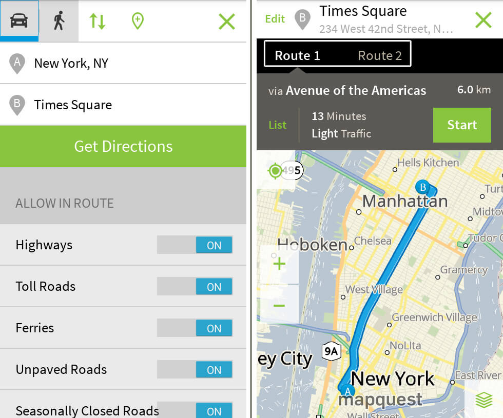
Long before smartphones tracked our every step with live satellite feeds, getting lost meant pulling a massive paper road map across the steering wheel. That all changed in 1996 when a digital atlas called MapQuest launched onto the nascent internet. It wasn't just a tech novelty; it completely transformed how everyday people traversed cities, planned cross-country road trips, and interacted with human geography. By turning static cartography into accessible, on-demand routing data, this early web service laid the foundation for modern GPS and reshaped spatial awareness worldwide.
Understanding the impact of this digital atlas requires looking at how navigation worked before the web. Cartography had long been the domain of specialized publishers and glove-compartment foldout maps that grew outdated the moment a new highway opened. MapQuest, rooted in decades of traditional mapmaking history through R.R. Donnelley & Sons, bridged the gap between physical geography and computer databases. It gave ordinary desktop computer users the power to generate step-by-step driving instructions within seconds, altering human mobility forever.
From Print to Pixel: The Origins of Web Mapping
The roots of the digital mapping revolution stretch back to the mid-1960s when cartographic services focused on printing physical road maps for gas stations. By the late 1980s, computer systems began handling geographic data. This shift culminated in the 1996 debut of MapQuest as a commercial web service.
Users suddenly had access to an interactive atlas that combined vector maps with custom-generated route text. Instead of tracing routes with a highlighter on a paper foldout, travelers printed sheets of turn-by-turn directions. They taped these printouts to dashboards or folded them onto passenger seats.
- Custom Routes: Users entered specific start and end addresses for tailored paths.
- Printed Guides: Directions were physically carried into vehicles because mobile internet didn't exist yet.
- Business Directories: Early integration allowed people to find local services alongside route lines.
Reshaping Human Geography and Spatial Behavior
The arrival of instant digital mapping altered human geography by changing how people perceive distance and locality. Before web mapping, mental maps of cities were often constrained by physical familiarity and static atlas books. Instant route calculation shrank perceived distances, encouraging suburban expansion and longer daily commutes because drivers felt more confident exploring unfamiliar regions.
Furthermore, real estate development and commercial site selection shifted. Businesses no longer relied solely on foot traffic past physical storefronts; they optimized their locations based on how digital map algorithms indexed and recommended them. People began navigating by coordinates and programmatic instructions rather than landmarks and physical signposts.
The Cultural Ritual of the Printed Dashboard Route
For roughly a decade, from the late 1990s to the mid-2000s, the printed MapQuest itinerary was a staple of modern travel. This era created a unique driving culture defined by preparation and permanence. Missing a turn meant pulling over to re-read the paper sheet because dynamic, real-time route recalculation didn't exist.
Families packed vacation cars with stapled packets of directions for every leg of a cross-country trip. If road construction blocked a path, drivers had to rely on intuition or stop at a gas station for a traditional map. This vulnerability forced travelers to maintain a high level of active spatial awareness.
The Shift to Mobile and Modern Navigation
As internet connectivity moved from desktop dial-up to mobile smartphones, the limitations of early web mapping became apparent. Competitors introduced real-time traffic updates, satellite overlays, and turn-by-turn voice guidance that rendered printed paper sheets obsolete.
- Static vs. Dynamic: Early digital maps provided fixed instructions, whereas modern apps adjust instantly to traffic jams.
- Desktop to Mobile: Navigation shifted from home office printers directly into the palms of drivers.
- Crowdsourcing: Modern platforms incorporate live user data to update road closures instantly.
Despite losing its crown to smartphone-native apps like Google Maps, the original digital atlas proved that spatial data could be democratized. It trained a whole generation to trust computer algorithms for geographic exploration.
Frequently Asked Questions
When was MapQuest launched?
MapQuest launched as a commercial web mapping service in 1996, evolving from earlier cartographic digital databases.
Why did printed map directions become so popular?
Before smartphones and mobile GPS, printouts were the only way to carry custom, computer-calculated driving instructions inside a vehicle.
How did digital atlases change human geography?
They reduced travel anxiety, encouraged longer commutes, altered how businesses chose locations, and shifted human spatial reliance from physical landmarks to algorithmic directions.
Is MapQuest still active today?
Yes, it continues to operate as a web mapping and routing service, adapting through various corporate owners over the decades.