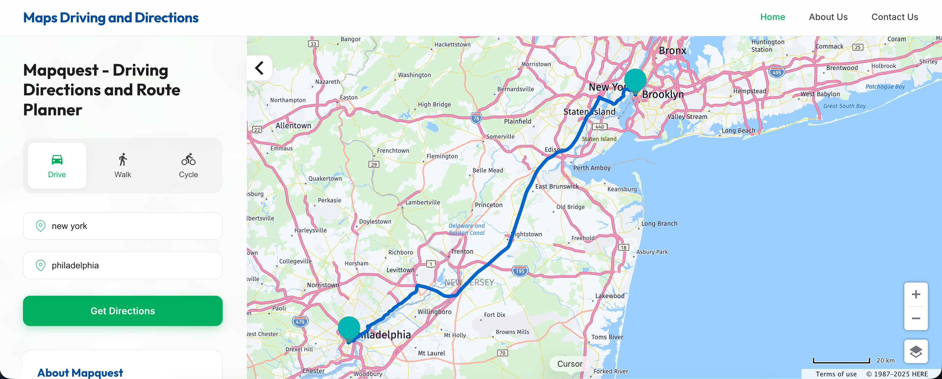
Long before smartphones guided every turn with real-time satellite telemetry, getting lost required unfolding massive paper road maps across the steering wheel. That all shifted in February 1996 when a platform named MapQuest launched on the nascent web, transforming how humans moved across physical space. By turning mainframe cartography into browser-based vector data, MapQuest established the blueprint for modern digital navigation.
Understanding this foundational shift explains why contemporary navigation apps look and function the way they do. From text-based turn instructions to data licensing structures, the architecture of modern wayfinding traces its direct lineage back to late-90s web pioneers.
The Pre-Internet Cartography Roots
The origins of digital route planning stretch back decades before the World Wide Web entered mainstream households. In 1967, publishing giant R.R. Donnelley & Sons formed a mapping division called Cartographic Services in Chicago, later relocating to Lancaster, Pennsylvania. This division supplied physical road maps to gas stations and travel agencies.
By the mid-1980s, computer technology had advanced enough to store geographic coordinates digitally. Working with early geographic information systems researchers, the division began experimenting with computerized route generation.
- GeoSystems Spin-Off: In 1994, the mapping unit split from its parent company to form GeoSystems Global Corporation.
- Database Compilation: Engineers accumulated massive datasets containing street grids, highway numbers, and municipal boundaries.
- Early Commercial Software: Before launching online, the team built CD-ROM based geographic tools for corporate logistics and travel planning.
The 1996 Launch of MapQuest.com
When GeoSystems launched MapQuest.com in early 1996, consumer internet access relied on dial-up modems humming at 28.8 kbps. Web browsers like Netscape Navigator rendered pages at glacial speeds. Despite these technical constraints, the site offered two revolutionary features: the Interactive Atlas and TripQuest.
Users could input a starting address and a destination, and the server would calculate a text-based list of maneuvers. Printers whirred to life in homes across the country, spitting out multi-page itineraries featuring iconic directional cues like "turn left on Main Street" and "continue for 4.2 miles."
This text-heavy approach was a necessity of bandwidth limitations. Vector maps took seconds to render pixel by pixel, so users relied heavily on the printed text sheet while driving, keeping the physical printout pinned to the passenger seat.
How Early Web Navigation Shaped Modern UX
Even though mobile apps now handle route calculations instantly via cloud clusters, the core user experience paradigms established in 1996 remain embedded in today's software.
Step-by-Step Itineraries
The concept of breaking a journey down into sequential instructions originated with TripQuest. Modern apps like Apple Maps and Google Maps still structure their trip details as a scrollable list of discrete maneuvers, mirroring the printouts of the late nineties.
Point-to-Point Data Modeling
MapQuest proved that geographic coordinates could be indexed rapidly for consumer retrieval. Developers realized that relational databases could store latitude and longitude points alongside street names, creating a searchable index of human geography.
Monetization Models
Early digital mapping required substantial capital to license road data from providers like Navteq. To offset costs, MapQuest pioneered early web advertising models, embedding banner ads alongside route instructions—a strategy that set the economic standard for free consumer web services.
The Shift From Desktop Printouts to Mobile GPS
As broadband internet expansion accelerated in the early 2000s, America Online (AOL) acquired MapQuest for $1.1 billion in 1999. For several years, the platform dominated online routing, capturing nearly the entire market share for digital directions.
However, technology evolved rapidly. In 2005, the landscape shifted when Google introduced its web mapping service, integrating searchable business directories directly into visual maps. Two years later, the launch of the iPhone introduced pocket-sized, location-aware GPS computing.
MapQuest faced intense competition as smartphones integrated turn-by-turn voice navigation natively into mobile operating systems. While MapQuest eventually released mobile applications featuring free voice guidance, the platform had lost its crown as the default consumer utility. Today, owned by System1, MapQuest processes hundreds of millions of monthly map queries, servicing niche users, delivery fleets, and desktop planners who appreciate its classic interface.
Common Misconceptions About Early Digital Mapping
Many modern technology users misunderstand how early navigation systems operated.
- Myth: Early web maps used real-time GPS tracking. Reality: GPS receivers were restricted to military and high-end aviation hardware in 1996. Consumer web mapping relied entirely on static pre-trip planning and printed paper notes.
- Myth: MapQuest was always a standalone internet startup. Reality: It evolved from decades of traditional paper cartography and corporate logistics printing before pivoting to the web.
- Myth: The service disappeared after losing market share. Reality: It remains an active, high-traffic utility utilized by millions of web users daily.
Frequently Asked Questions
Did people actually drive while reading printed MapQuest directions?
Yes. Drivers routinely printed out multi-page step lists, folded them into rectangles, and kept them on the center console or clipped to the sun visor. Passengers often acted as co-pilots, reading instructions aloud in real time.
How did MapQuest calculate routes without modern smartphones?
The platform used pre-computed road network graphs stored on central servers. When a user requested a route, the server ran shortest-path algorithms over vectorized highway grids licensed from professional cartography agencies.
Why did MapQuest lose its dominant market position?
The platform was slow to transition from desktop browser utility to mobile application infrastructure. When smartphones arrived with pre-installed native mapping applications, consumer habits shifted permanently toward pocket-sized GPS.
Is MapQuest still operational today?
Yes. The platform continues to function as a web and mobile mapping service, offering routing, traffic updates, and travel planning tools to millions of active users.