Long before smartphones populated vehicle dashboards, printing out driving directions meant feeding paper into home printers or picking up gas station maps. MapQuest changed travel by moving cartography from glove compartments onto computer screens, introducing millions of drivers to automated route planning. Understanding how this digital mapping pioneer shaped modern navigation reveals the foundation of today's location-based world.
Before the World Wide Web hosted interactive paths, cartography relied entirely on paper. The roots of MapQuest stretch back to R.R. Donnelley & Sons, a printing giant that created physical road guides distributed at filling stations. As personal computers grew more capable during the late 1980s and early 1990s, the division transitioned into digital data storage. Spun off as GeoSystems Global Corporation, the team launched the MapQuest website in 1996, marking the birth of commercial web mapping.
The Rise of Web Cartography
The mid-1990s web looked starkly different from modern digital ecosystems. Dial-up modems connected users to static pages, making heavy graphics painfully slow to load. MapQuest solved this by rendering vector-based vector tiles and text instructions that loaded efficiently over phone lines.
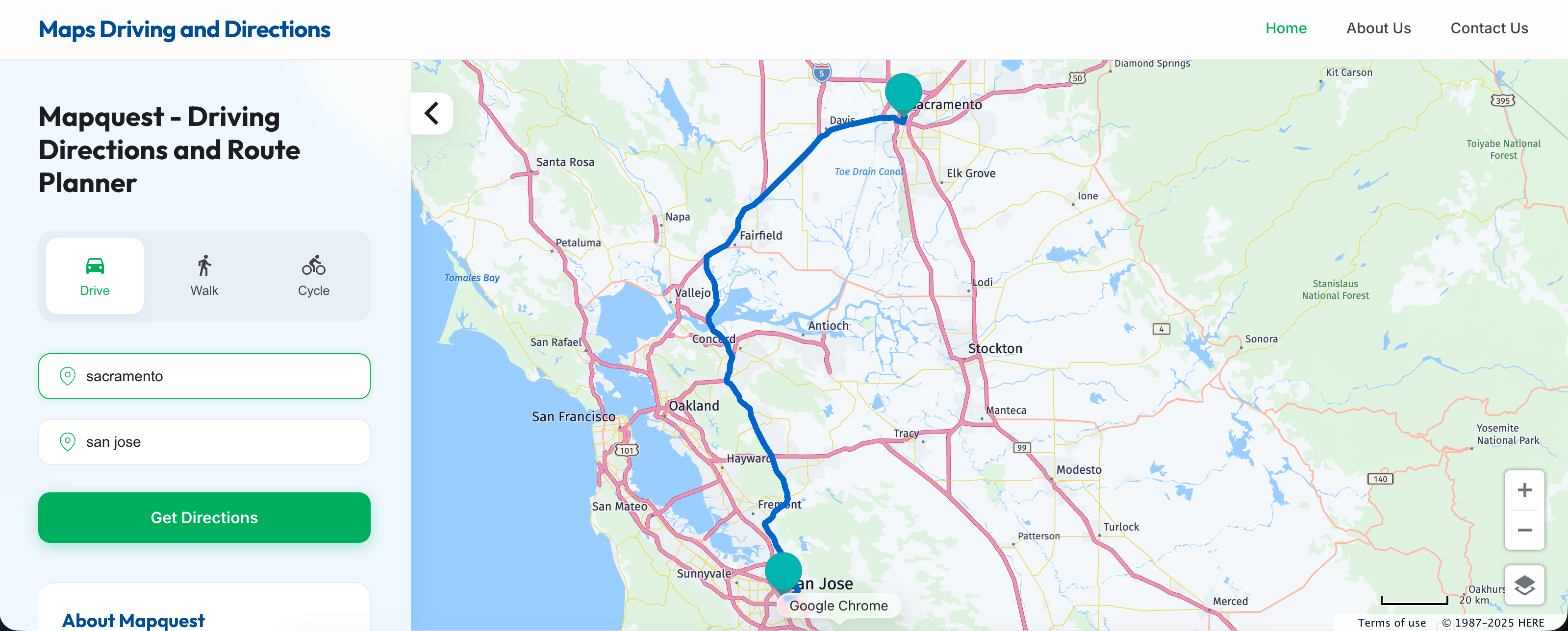
Users could type in an origin and destination to generate a step-by-step cue sheet. These directions often featured iconic turn-by-turn text prompts like "turn left on Elm Street" accompanied by simple line-drawn maps. Drivers printed these instructions out on letter-sized paper, keeping them on their passenger seats or sticking them to dashboards.
Key Milestones in Early Digital Mapping
- 1967: Cartographic Services division forms under R.R. Donnelley.
- 1994: GeoSystems spins off as an independent entity.
- 1996: The MapQuest platform launches online.
- 1999: The company goes public on the Nasdaq stock exchange.
- 2000: America Online (AOL) acquires the platform for $1.1 billion.
The platform's growth was explosive. By the late 1990s, it commanded a massive share of internet traffic for travel planning. Families planning cross-country road trips, delivery drivers mapping out urban routes, and commuters looking for alternative paths relied on the site daily. Its initial public offering in 1999 highlighted investor enthusiasm for internet infrastructure, leading directly to its acquisition by AOL at the turn of the millennium.
Shift to Mobile and GPS Integration
As mobile phones evolved from simple voice devices into pocket computers with built-in GPS chips, web-only desktop printing lost its dominance. Competitors like Google Maps integrated turn-by-turn voice navigation directly into smartphones, making printed cue sheets obsolete for most everyday drivers.
Rather than disappearing entirely, MapQuest adapted its business model. The brand shifted focus toward providing backend mapping APIs and developer tools. Today, thousands of logistics companies, delivery services, and enterprise applications use MapQuest infrastructure quietly behind the scenes for geocoding and route optimization. It also maintains consumer apps for iOS and Android, keeping a foothold in active consumer navigation.
Why Early Web Mapping Mattered
- Proved that geographic data could be distributed instantly via the internet.
- Established standardized text-based routing directions that users could easily understand.
- Created early database models for geocoding addresses into latitude and longitude coordinates.
- Paved the way for real-time traffic monitoring and modern GPS tracking systems.
Common Misconceptions About Digital Mapping History
Many casual tech observers assume that interactive mapping began with smartphones. In reality, a decade of web-based route planning laid the groundwork for modern GPS apps. Without early database experiments by companies like MapQuest and early tech pioneers, smartphone navigation software wouldn't have had the underlying address indexes required to map modern cities.
Another common myth is that MapQuest vanished after losing market share to mobile giants. While it no longer dominates consumer headlines the way it did in 2000, its enterprise location services and developer APIs remain active components of the modern spatial technology sector. Developers frequently choose its tools for custom routing workflows, fleet management, and delivery tracking.
Frequently Asked Questions
Did MapQuest invent digital maps?
It launched the first commercial web mapping service widely available to consumers, though government and military GIS systems existed earlier.
Can you still print driving directions on MapQuest?
Yes, the platform still allows users to generate, view, and print traditional turn-by-turn cue sheets alongside modern interactive maps.
Who owns MapQuest today?
Verizon Media owned it for a period after various corporate reorganizations, and it operates today as part of the system supporting enterprise location data services.
Why did people stop using printed map directions?
The widespread adoption of smartphones with integrated GPS and real-time cellular data eliminated the need to print paper directions before starting a trip.



