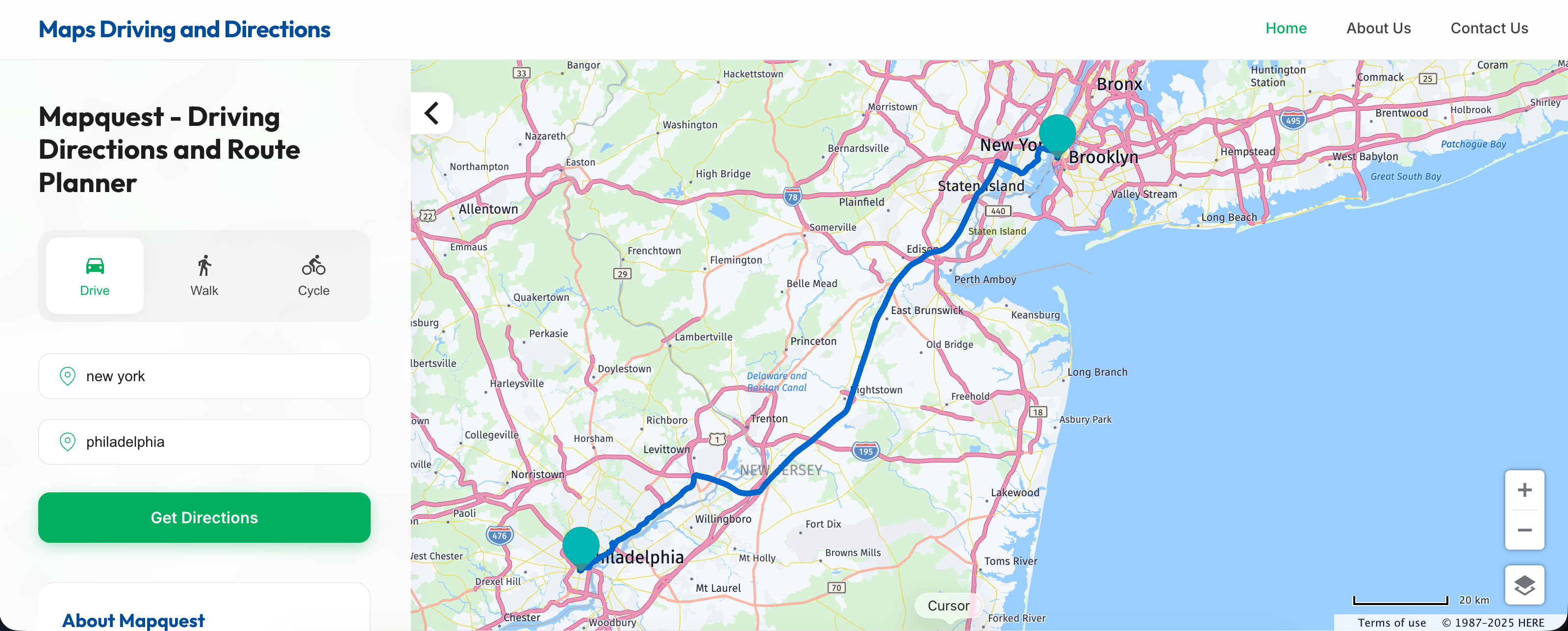
Before smartphones lived in our pockets and polite synthetic voices warned us about upcoming traffic jams, drivers relied on pre-trip planning sessions that involved laser printers, stacks of paper, and high-stakes guesswork. Launched in 1996, MapQuest transformed how humans traveled by moving cartography from folded paper road maps to computer screens. It gave everyday drivers the power to generate custom point-to-point driving directions long before real-time GPS hardware became cheap or ubiquitous.
Understanding how that 1990s breakthrough shaped modern routing requires looking at the technical hurdles of early internet geography, the awkward transitional era of printed page directions, and how early web tools paved the way for modern location-based services.
The Paper Map Era Before Digital Routing
For most of the twentieth century, navigating unfamiliar terrain meant unfolding massive paper sheets across the steering wheel or passenger seat. Gas stations distributed free state and regional road maps funded by petroleum brands and cartographic houses like Rand McNally. Finding a specific destination required a frustrating process of cross-referencing an alphabetical index in the back of the atlas with a grid coordinate system on the main map grid, such as finding coordinate "C-4" and tracing your finger until you spotted the target town.
Planning a road trip across multiple states demanded a collection of folded maps, a yellow highlighter, and careful calculation of mileage scales. If you missed a turn or encountered unexpected highway construction, the paper map couldn't recalculate your position. You had to pull over to a gas station payphone, buy a local city map, or guess your vector based on the position of the sun and highway route signs.
Cartography was static, expensive to update, and entirely dependent on human spatial reasoning. That changed when desktop computers gained enough processing power to handle vector data and spatial databases.
How MapQuest Pioneered Web Cartography
MapQuest didn't appear overnight. Its roots trace back to Cartographic Services, a division of R.R. Donnelley & Sons founded in 1967 that originally produced physical road maps for gas stations. By the mid-1980s, the division began experimenting with computer-generated routes. In 1994, the group spun off as GeoSystems Global Corporation, eventually launching the public MapQuest website in 1996.
The technical architecture behind early MapQuest relied on pre-rendered map tiles and spatial databases licensed from commercial mapping data providers like Navteq. When a user typed in a starting address and destination, servers crunched the road network topology to compute the shortest or fastest sequence of street segments.
The output wasn't an interactive, pannable digital globe. Instead, it was a static text list of turn-by-turn instructions paired with a sequence of cropped bitmap map images showing little red stars at critical turns. Drivers printed these pages out on dot-matrix or early inkjet printers, often bringing three to six sheets of paper into the car.
- The Pre-Trip Ritual: Drivers had to anticipate every detour before leaving the driveway. Once you backed out of the garage, your route was locked in print.
- The Navigator-Driver Dynamic: The front passenger served as the human GPS, holding the printed paper stack, counting miles on the odometer, and shouting out upcoming turns in heavy traffic.
- The Margin of Error: A single road closure or unexpected construction zone rendered the printed directions obsolete, forcing drivers back onto intuition or gas station road maps.
The Cultural Ritual of Printed Directions
Using early digital driving directions created a distinct subculture of road travel. Families packed clipboards and highlighters for vacation preparation. Marking each turn with a fluorescent stroke became a ritual of reassurance.
If you missed a highway exit, panic often ensued. Because early web mapping lacked live telemetry, your position on the paper was entirely theoretical once you deviated from the script. Drivers learned to memorize major highway numbers and keep track of elapsed mileage markers to ensure they hadn't missed a critical highway transition.
This friction forced travelers to build robust mental maps of their journeys. Unlike modern drivers who blindly follow voice prompts without knowing what city they are currently passing through, 1990s motorists maintained a macro-level awareness of geography because they had studied the route sequence prior to departure.
The Transition to Mobile and Modern GPS
As internet broadband expanded and mobile computing matured, the limitations of static web mapping became obvious. Competitors entered the market with dynamic JavaScript interfaces, while dedicated hardware units from brands like Garmin and TomTom introduced satellite-linked positioning directly onto dashboard screens.
The true turning point arrived when smartphones integrated GPS receivers into consumer handsets. Apps like Google Maps and Apple Maps eliminated the need for pre-printing instructions by combining live vector rendering, real-time traffic telemetry, and constant recalibration. If you missed a turn, the phone instantly recalculated a new path instead of leaving you stranded with an obsolete sheet of paper.
Despite losing the consumer mapping wars to smartphone ecosystems, MapQuest adapted by shifting its focus behind the scenes. Today, the brand operates as a foundational mapping and geocoding engine, providing spatial data infrastructure to enterprise applications, logistics companies, and developers who need reliable routing APIs.
Frequently Asked Questions
When was MapQuest launched?
MapQuest launched its public website in 1996, building upon decades of cartographic history originating from R.R. Donnelley's mapping divisions.
How did drivers use MapQuest before smartphones?
Users typed their start and end addresses into the website on a desktop computer, printed out the resulting text directions and map snippets, and brought the paper stack into their vehicles.
Why did MapQuest lose market share?
MapQuest dominated the early web era, but competitors like Google Maps introduced faster, dynamic, AJAX-based interfaces and integrated seamlessly with mobile operating systems when smartphones arrived.
Does MapQuest still exist today?
Yes. While it no longer commands the primary consumer search share for driving directions, it remains active as a web portal and provides background mapping, geocoding, and routing APIs for commercial businesses.