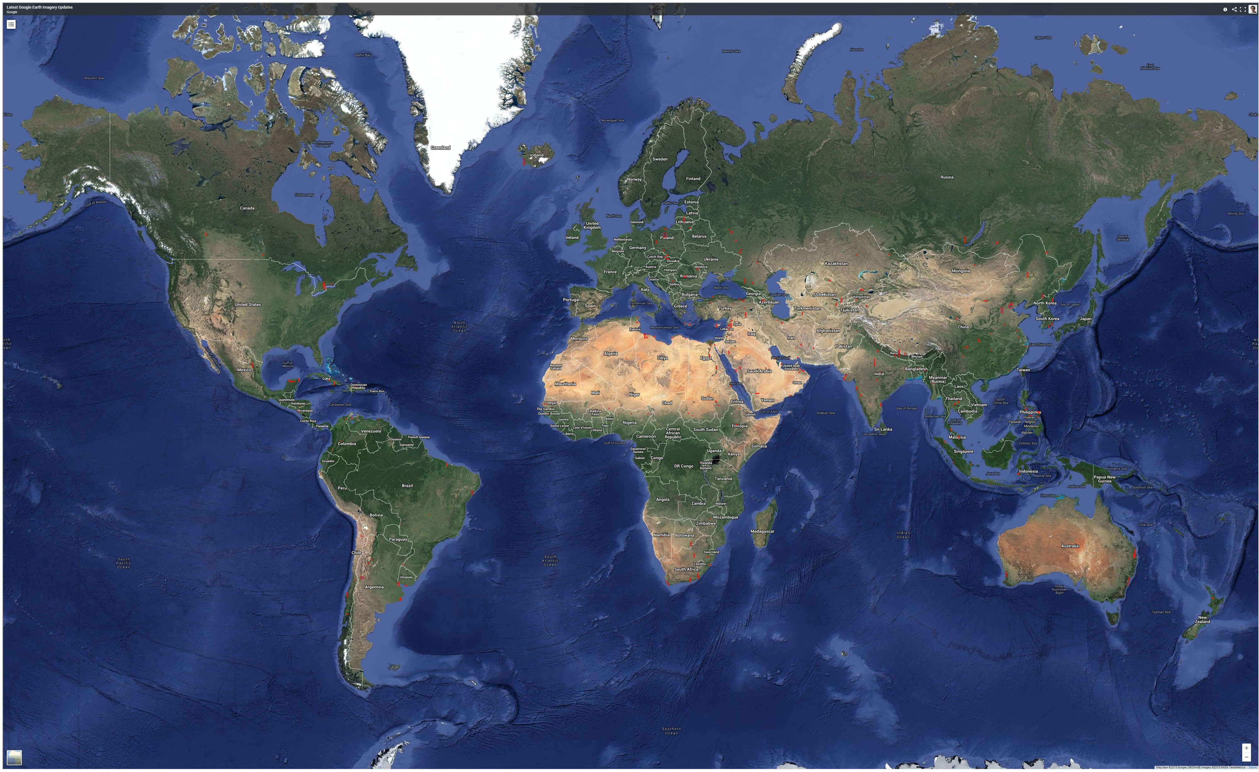
The map of the Anatolian Peninsula reveals why this massive landmass, also known as Asia Minor, has served as a permanent bridge between continents. Bounded by the Black Sea to the north, the Mediterranean to the south, and the Aegean to the west, Anatolia forms the bulk of modern Turkey. Its geography created a natural corridor where armies, merchants, and migrating tribes collided for millennia.
Reading an ancient or modern map of this region requires understanding how its rugged mountain ranges and central plateau shaped human movement. This layout didn't just isolate communities; it funneled them into specific crossing points, turning the peninsula into a historical crossroads.
Geographic Boundaries and Topography
Anatolia spans a high, arid central plateau enclosed by steep mountain systems. To the north, the Pontic Mountains run parallel to the Black Sea coast. To the south, the Taurus Mountains sweep down toward the Mediterranean. These ranges create a stark climatic and physical divide between the coastal plains and the interior.
Rivers like the Kızılırmak and Sakarya carve paths through the plateau before emptying into the sea, providing fertile valleys that supported some of the world's earliest agricultural societies. Movement across the peninsula has always relied on navigating these east-west river valleys and high mountain passes. Because the eastern frontier merges into the Armenian Highlands and the Zagros Mountains, travelers moving between Mesopotamia and Europe had to pass directly through central Anatolia.
The Crossroads of Early Civilizations
Long before written history, the Anatolian peninsula hosted vital cultural shifts. The famous archaeological site of Göbekli Tepe proves that complex monumental architecture existed here during the early Neolithic period, challenging assumptions about early human capabilities. Later, Çatalhöyük emerged as one of the world's earliest proto-urban settlements, showing how local populations adapted to the central plateau's resources.
By the Bronze Age, the strategic placement of Anatolia drew major powers into conflict and trade. The Hittites established a dominant empire from their capital at Hattusa in north-central Anatolia, controlling vital metal and trade routes linking Mesopotamia to the Aegean.
When looking at a historical map from this era, you can spot several distinct geopolitical zones:
- The Central Plateau: Controlled by the Hittites and later the Phrygians, characterized by dry farming and fortified urban centers.
- The Western Coasts: Home to Lydian, Carian, and Ionian Greek city-states that focused on maritime trade across the Aegean.
- The Southern Coast (Cilicia): Served as a narrow coastal gateway connecting the Levant directly to the Anatolian interior.
- The Eastern Highlands: Controlled at various times by the Urartu kingdom near Lake Van, guarding the rugged approaches from the Iranian plateau.
Classical, Byzantine, and Islamic Eras
As classical antiquity took shape, the map of Anatolia fractured and reformed under Persian, Greek, and Roman rule. Alexander the Great's march through the region dismantled the Achaemenid Empire, opening the door for Hellenistic culture to blend with indigenous traditions. The Metropolitan Museum of Art offers extensive digital archives detailing how art and coinage evolved across these shifting Hellenistic kingdoms.
Rome later organized the peninsula into provinces, connecting distant garrisons via paved roads that followed ancient Anatolian paths. When the Roman Empire split, Anatolia became the economic and demographic heartland of the Byzantine Empire. Constantinople, positioned strategically on the Bosphorus Strait, controlled the vital maritime chokepoint between the Black Sea and the Mediterranean.
By the eleventh century, the map shifted again with the arrival of Seljuk Turks following the Battle of Manzikert. This transition turned Anatolia into a predominantly Turkic and Islamic region, eventually paving the way for the Ottoman Empire. The Ottomans used the central plateau and coastal ports to project power into Europe, the Middle East, and North Africa.
Common Misconceptions About Anatolian Geography
Maps often distort how people think about ancient and modern travel times across the region. A few common errors persist:
- Treating Anatolia as flat terrain: Many assume Asia Minor is an easy plain to cross. In reality, the jagged transitions between the coastal ranges and the inner plateau created natural barriers that slowed invasions and trade.
- Confusing Anatolia with modern Turkey: While Anatolia makes up about 97 percent of Turkey's landmass, the term strictly refers to the geographic peninsula, excluding East Thrace on the European side.
- Overlooking maritime geography: People often focus entirely on overland Silk Road routes, ignoring the vital role played by ports along the Black Sea and Aegean coasts.
Frequently Asked Questions
What is the difference between Anatolia and Asia Minor?
They refer to the exact same geographic region. "Anatolia" comes from the Greek word Anatole meaning "east" or "sunrise," while "Asia Minor" (meaning Lesser Asia) was a term used by Roman-era geographers to distinguish the peninsula from the wider continent of Asia.
Why is Anatolia called the crossroads of civilizations?
Because it acts as the primary land bridge connecting Europe, Asia, and Africa. Any population migrating, trading, or fighting between the Eurasian steppes, Mesopotamia, the Mediterranean, and Europe had to traverse or control parts of the peninsula.
How did geography influence the rise of the Hittite Empire?
The central plateau provided secure agricultural land and rich mineral deposits, particularly iron and copper. This resource base allowed the Hittites to build a centralized state that could project power outward through mountain passes into Syria and Mesopotamia.
Which modern countries occupy the historic territory of Anatolia?
The entirety of the Anatolian peninsula lies within the borders of the Republic of Turkey. Learn more about the region's preservation efforts through organizations like the Turkish Ministry of Culture and Tourism.



