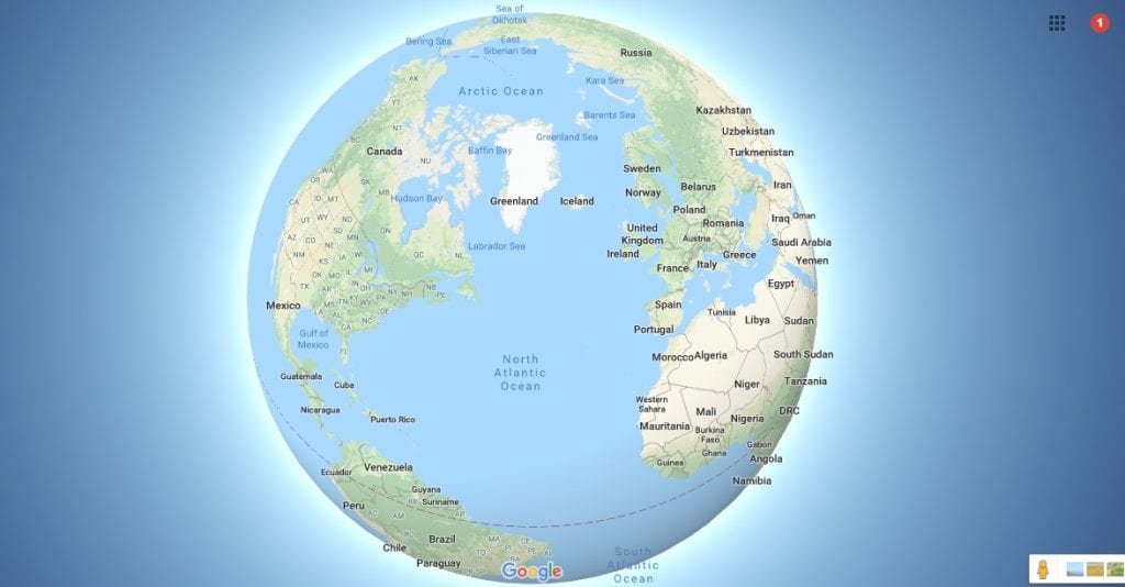
When you look at a map of Argentina in South America, you're viewing the second-largest country on the continent and the eighth-largest worldwide. Stretching over 3,600 kilometers from its northern subtropical borders to the subpolar winds of Tierra del Fuego, Argentina dominates the southern portion of the continent. It shares boundaries with Chile, Bolivia, Paraguay, Brazil, and Uruguay, while facing the South Atlantic Ocean along its entire eastern seaboard.
Understanding this geographic giant requires looking past basic national borders. The country's topography shifts drastically from the highest mountain peaks in the Western Hemisphere to flat agricultural lowlands and glacial ice fields. This guide breaks down the physical layout, administrative divisions, and regional characteristics that define Argentina on the continental map.
Geographic Position and Continental Borders
Argentina occupies most of the Southern Cone, wedged between the towering Andes Mountains to the west and the Atlantic Ocean to the east. Its continental shape resembles an elongated triangle, broad in the north and tapering down to a sharp point at Cape Virgenes before jumping across the Strait of Magellan to the archipelago of Tierra del Fuego.
The country's international land boundaries stretch nearly 9,300 kilometers.
- Chile: Runs entirely along the western spine, demarcated mostly by the high crests of the Andes.
- Bolivia and Paraguay: Border Argentina to the north, opening into the humid lowlands of the Gran Chaco.
- Brazil and Uruguay: Sit to the northeast and east, separated by major river systems like the Paraná and the Uruguay rivers.
This positioning makes Argentina a vital geographic anchor in the Southern Hemisphere, controlling crucial maritime routes around Cape Horn and serving as a gateway to Antarctic research territories.
Major Geographic Regions on the Map
A topographical map of Argentina reveals five distinct natural zones, each possessing its own climate, ecology, and economic profile.
The Andes and Cuyo
Running down the western border, the Andean range includes Mount Aconcagua, which stands at 6,961 meters as the highest peak outside of Asia. Just east of these peaks sits the Cuyo region, characterized by arid conditions made fertile through sophisticated irrigation channels from mountain meltwater. This area serves as the heart of Argentina's wine industry, centered primarily around Mendoza.
The Pampas
The Pampas form the agricultural core of the country. These flat, fertile plains fan out inland from Buenos Aires. Because the soil is rich and rainfall is reliable, this zone supports the vast majority of Argentina's cattle ranching and cereal crop production. On a map, this region appears densely crisscrossed by roads and rail lines connecting farm towns to major ports.
The Gran Chaco and Mesopotamia
Northern Argentina features the Gran Chaco, a hot, semi-arid woodland and savanna plain prone to seasonal flooding. To the east lies Mesopotamia—the land between rivers—bounded by the Paraná and Uruguay rivers. This humid, subtropical zone hosts dense forests, rolling hills, and the world-famous Iguazu Falls at the northern tip near the Brazilian border.
Patagonia
Occupying everything south of the Rio Colorado, Patagonia is a vast expanse of windswept steppes, glacial lakes, and rugged mountains. As you trace the map southward toward Santa Cruz and Tierra del Fuego, the landscape transitions into subpolar forests and massive ice fields, ending at Ushuaia, widely recognized as the southernmost city in the world.
Administrative Divisions: Provinces and Cities
Politically, Argentina is a federation divided into 23 provinces and one autonomous federal district, Buenos Aires.
[Federal Capital: Buenos Aires]
       │
       ├── Northern Provinces (Jujuy, Salta, Formosa, etc.)
       ├── Central Agricultural Belt (Córdoba, Santa Fe, Entre Ríos)
       ├── Cuyo Wine Region (Mendoza, San Juan, San Luis)
       └── Southern Patagonia (Neuquén, Río Negro, Chubut, Santa Cruz, Tierra del Fuego)
Buenos Aires functions as the nation's political, cultural, and financial powerhouse. Situated on the western shore of the Río de la Plata, the metropolitan area houses roughly a third of the country's total population.
Other critical urban hubs identified on any regional map include:
- Córdoba: Located in the central foothills, known for manufacturing and higher education.
- Rosario: A major inland port city along the Paraná River crucial for exporting agricultural commodities.
- Mendoza: Positioned directly beneath the Andes, acting as a commercial nexus for western trade.
You can explore official geographic datasets and regional mapping tools through the Instituto Geográfico Nacional to inspect precise boundary demarcations.
Common Cartographic Challenges and Misconceptions
When studying maps of Argentina, users often encounter specific territorial disputes and cartographic nuances.
- The Falkland Islands (Islas Malvinas): International maps often label these islands under British administration, while Argentine domestic maps designate them as part of Tierra del Fuego province, naming them Islas Malvinas.
- Antarctic Claims: Argentina claims a specific sector of Antarctica, frequently depicted as a pie-slice wedge on official national maps, overlapping with claims by Chile and the United Kingdom. Under the Antarctic Treaty System, these territorial claims are currently held in abeyance.
- Scale Distortion: Because Argentina stretches so far north-to-south (spanning nearly 38 degrees of latitude), standard flat map projections can subtly distort the true proportions of northern tropical zones relative to southern Patagonia.
For comprehensive international boundary standards, reference documentation provided by the United Nations Statistics Division.
Frequently Asked Questions
What are the main physical boundaries of Argentina?
Argentina is bound by the Andes Mountains to the west (separating it from Chile), Bolivia and Paraguay to the north, Brazil and Uruguay to the northeast and east, and the South Atlantic Ocean along its entire eastern coast.
How many provinces make up Argentina on the map?
The country consists of 23 distinct provinces alongside one autonomous capital district, Buenos Aires.
Why is Argentina referred to as part of the Southern Cone?
The term "Southern Cone" describes the geographic region at the southernmost tip of South America—comprising Argentina, Chile, and Uruguay—characterized by temperate climates, higher economic development indices, and strong European cultural influences.
Where is the narrowest part of Argentina?
Argentina's width varies significantly. It is widest across the northern and central latitudes, while its southern territory in Patagonia narrows considerably as the coastline angles inward toward the Andean cordillera before terminating at Tierra del Fuego.



