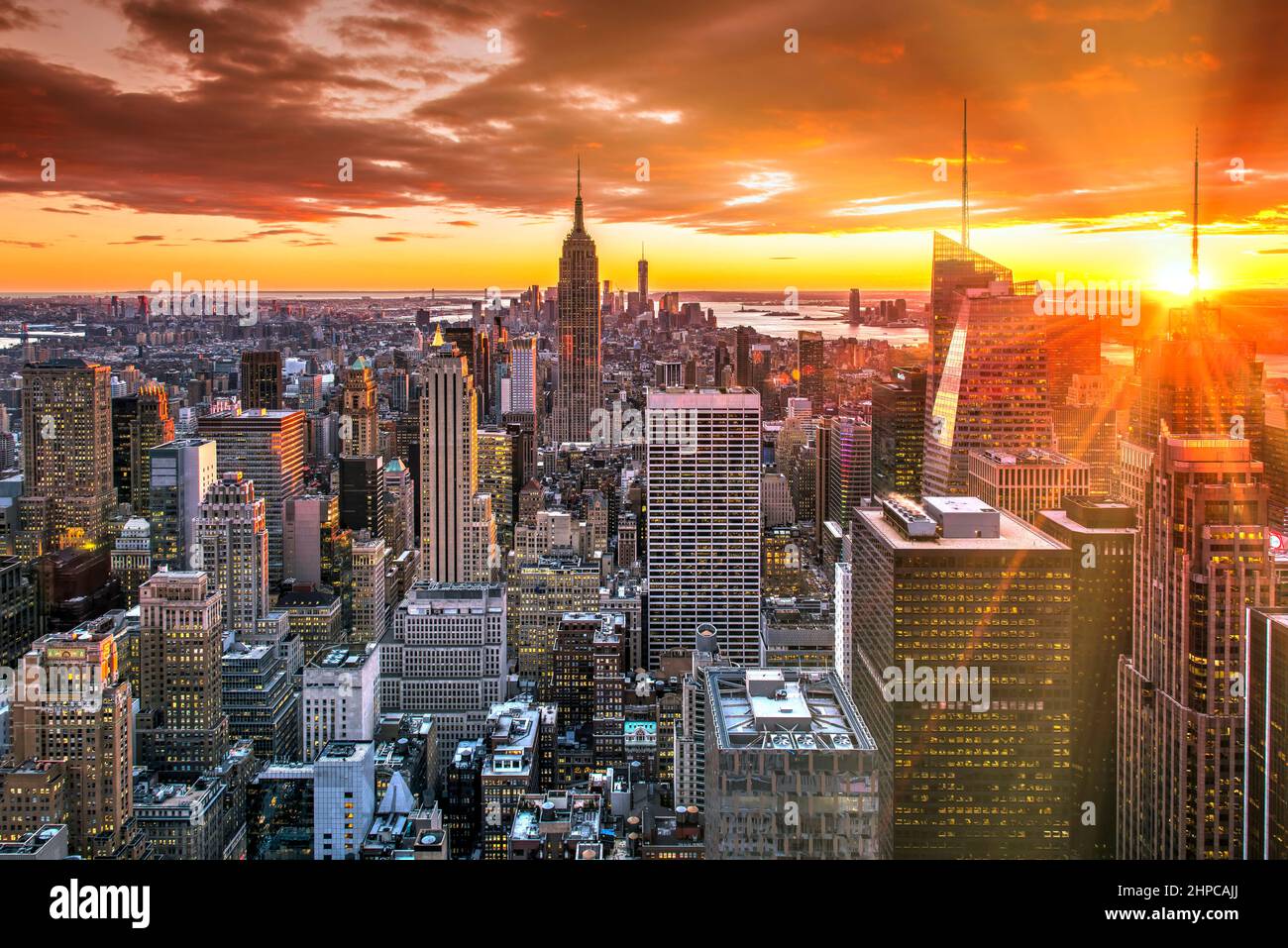
Manhattan is a true island, bounded by the Hudson River, the East River, and the Harlem River. It's not a trick of cartography, but it does feature a unique geographical quirk that often confuses casual observers: one small neighborhood, Marble Hill, sits physically attached to the Bronx mainland rather than the island itself.
Understanding New York City's geography requires looking past modern subway maps and bridge networks to examine the natural waterways, historical land reclamation, and geological foundations that formed the borough.
The Natural Waterways Defining Manhattan
Geologically, Manhattan fits the standard definition of an island because water surrounds its primary landmass on all sides. Three distinct tidal straits and rivers carve out its borders:
- The Hudson River: Forms the western boundary, separating Manhattan from New Jersey. It's an estuary influenced by Atlantic tides rather than a traditional unidirectional river.
- The East River: Forms the eastern and southeastern boundary, separating Manhattan from Brooklyn and Queens. Despite its name, it's actually a tidal strait connecting the Long Island Sound to Upper New York Bay.
- The Harlem River: Forms the northern boundary, separating Manhattan from the Bronx.
These waterways gave early settlers defense, trade access, and maritime security. Yet, the northern boundary wasn't always where it is today.
The Marble Hill Anomaly
The most common point of confusion regarding Manhattan's island status involves Marble Hill, a neighborhood legally and politically part of New York County (Manhattan).
Originally, Marble Hill sat on the northern tip of Manhattan Island, separated from the Bronx by the Spuyten Duyvil Creek. In 1895, the U.S. Army Corps of Engineers dug the Harlem River Ship Canal to allow large commercial vessels to pass through without navigating tight, winding natural channels. This engineering project severed Marble Hill from Manhattan, placing it on the physical mainland attached to the Bronx.
In 1914, the original creek channel was filled in with dirt and rock, permanently fusing Marble Hill to the Bronx landmass. Residents of Marble Hill still vote in Manhattan political districts and receive services from Manhattan, creating a fascinating split between political jurisdiction and physical geography.
How Land Reclamation Expanded the Shoreline
Natural geography tells only half the story. Centuries of urban development drastically altered Manhattan's coastline through artificial fill projects. The island's original footprint was smaller, rockier, and heavily indented with coves, marshes, and cliffs.
Dutch colonists and later American urban planners dumped soil, construction debris, and household waste into shallow waters to create usable land. This expansion focused heavily on Lower Manhattan and the West Side.
- Battery Park City: Built in the late 1960s and 1970s using over three million cubic yards of earth and rock excavated during the construction of the World Trade Center and various subway tunnels.
- The Financial District: Much of downtown Manhattan near the waterfront sits on landfill, extending past the original natural shoreline where historic Dutch ships once docked.
- The East River Esplanade: Portions of the eastern shoreline were systematically straightened and pushed outward into the river to accommodate shipping piers and warehouses.
Because of this extensive fill, large parts of lower Manhattan sit on unconsolidated soil, which engineers must account for when building modern skyscrapers and subterranean transit lines.
Geological Foundations: Why Skyscrapers Stand Tall
The physical stability that allowed Manhattan to become a global financial capital comes from its underlying bedrock. The island rests primarily on Manhattan schist, a hard, metamorphic rock formation composed of mica, quartz, and feldspar.
This schist lies close to the surface in Midtown and Lower Manhattan, providing a solid foundation capable of supporting the massive weight of steel-and-concrete skyscrapers. In contrast, the shallower bedrock layers in areas like Greenwich Village and parts of the Financial District required engineers to sink deep caissons down to solid rock when constructing early high-rises like the Woolworth Building.
Frequently Asked Questions
Is Manhattan entirely an island?
Nearly all of it is, except for Marble Hill, which was separated by a nineteenth-century canal project and now sits physically attached to the Bronx mainland while remaining legally part of Manhattan.
What body of water is deepest around Manhattan?
The Hudson River contains the deepest channels surrounding Manhattan, with certain trench sections reaching depths over 100 feet, which historically allowed large ocean liners to dock directly at West Side piers.
Was Manhattan always this large?
No. Human intervention added hundreds of acres of artificial land through landfill projects, particularly around the Financial District, South Street Seaport, and Battery Park City.
Does the East River flow like a normal river?
No. The East River is a tidal strait rather than a river. It changes direction twice a day as tides push water in from both the Long Island Sound and Upper New York Bay.
What role did glaciers play in Manhattan's geography?
During the last ice age, continental glaciers scraped away loose soil and carved out the deep river valleys that now border Manhattan, leaving behind the exposed schist bedrock and erratic boulders seen in parks today.



