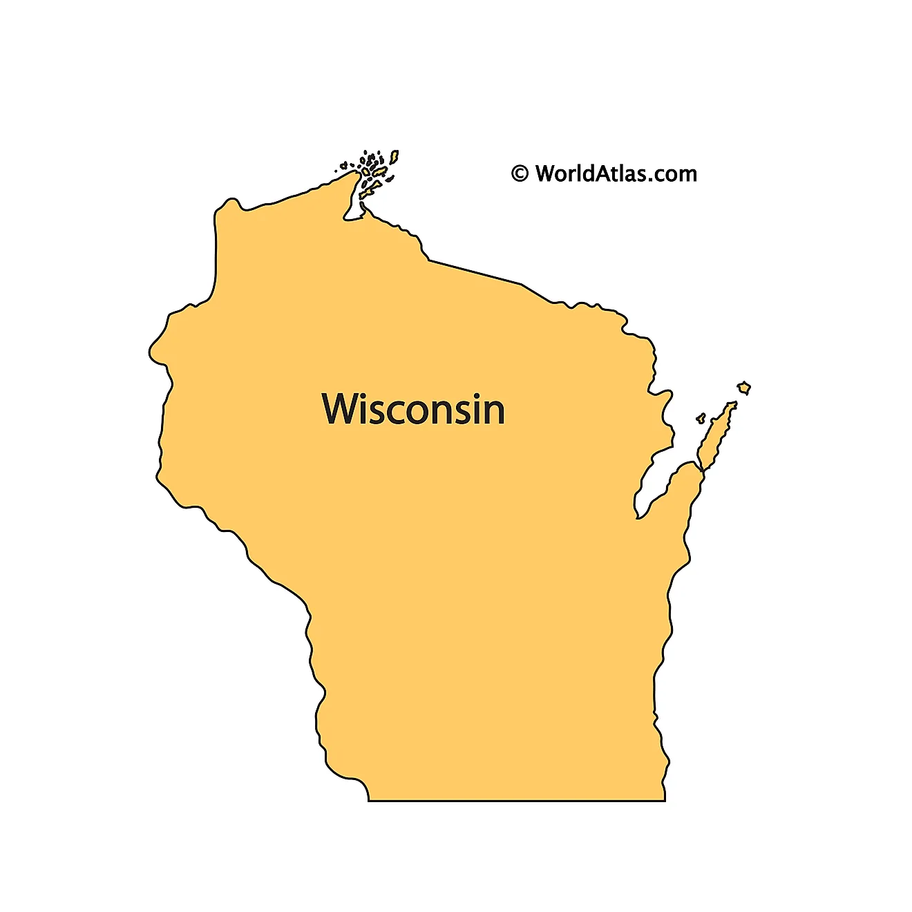
When you look at Madison, Wisconsin, on a map, its climate profile doesn't make immediate sense. Nestled in the south-central part of the state, the capital city experiences a classic humid continental climate, yet it constantly manages to bend standard meteorological expectations. While surrounding rural townships plunge into deep winter freezes or bake under unmitigated summer heat waves, Madison features its own localized microclimates. Locals and meteorologists often refer to this quirky behavior as a temperature puzzle, where geography, urban infrastructure, and massive bodies of water conspire to alter daily weather.
Understanding this phenomenon requires looking past general state forecasts and examining the physical layout of the isthmus. Madison isn't just a dot on a flat plain; it's a bustling urban center wedged tightly between two major lakes, Mendota and Monona. These unique geographic constraints create a fascinating tug-of-war between natural water moderation and modern urban heat retention. Let's break down the exact mechanics behind how Madison defies predictable seasonal extremes and why its local weather is far more complex than standard forecasts suggest.
The Isthmus Effect: How Geography Shapes Local Airflow
Madison's most famous geographic feature is its narrow isthmus, a strip of land bordered by Lake Mendota to the north and Lake Monona to the south. This unique land-water arrangement fundamentally changes how wind and air masses move across the city.
When regional winds sweep across south-central Wisconsin, they are forced to interact with these large surface areas of water. Water has a high specific heat capacity, meaning it absorbs and releases heat much slower than land or concrete.
- Wind Channeling: The low-lying isthmus acts as a natural wind tunnel, accelerating breezes moving from west to east across downtown.
- Friction and Drag: Surrounding rolling hills and suburban tree canopies slow down regional winds, but the open expanses over the lakes let gusts pick up speed before slamming into urban buildings.
- Topographical Depression: Because the downtown area sits relatively low between the lake basins, heavy cold air often drains downward from surrounding higher elevations on calm nights, pooling in specific neighborhoods.
This geographic setup creates distinct microclimates within a very short distance. You can walk from the breezy, moderated shoreline of Lake Mendota into the dense urban core and experience a completely different thermal sensation within minutes.
Lake Mendota and Lake Monona as Thermal Buffers
You can't talk about Madison's weather without talking about its aquatic neighbors. Lakes Mendota, Monona, and the smaller Lake Wingra play a massive role in regulating local temperatures, particularly during seasonal transitions.
During autumn, the lakes retain the heat absorbed throughout the summer months. As cold air masses start pushing down from Canada in October and November, the relatively warm water acts as a giant radiator. This keeps immediate lakeshore neighborhoods a few degrees warmer than outlying areas like Cottage Grove or Sun Prairie, delaying the first hard frost of the year.
Conversely, in the spring, the ice-covered lakes take a long time to melt and warm up. While inland farm fields heat up quickly under intense April sunshine, the cold water mass acts as an air conditioner, dragging down daytime temperatures near the shore.
According to tracking by the Wisconsin State Climatology Office, lakes Mendota and Monona typically stay frozen for an average of about 102 days each winter. This massive seasonal phase shift means the lakes are constantly fighting against the ambient air temperature, creating a lagging effect that offsets peak seasonal heat and cold.
The Urban Heat Island Phenomenon in Downtown Madison
While the lakes try to moderate temperatures, human development pushes in the exact opposite direction. Densely built environments create a pronounced urban heat island effect across downtown Madison and the campus areas.
Pavement, dark asphalt, brick facades, and commercial rooftops absorb incoming solar radiation during the day and slowly re-emit it at night. This prevents nighttime temperatures from dropping as low as they do in the surrounding rural countryside.
- Daytime Contrasts: Densely built neighborhoods record higher daytime temperatures and lower relative humidity compared to nearby parks and agricultural belts.
- Nighttime Retention: Concrete and steel trap daytime heat, keeping urban minimum temperatures elevated during summer heat waves.
- Vegetation Deficits: Areas stripped of tree cover experience harsher solar loading, forcing urban plants to deal with higher stress and increased water demand.
Research from environmental monitoring networks shows that this urban warming alters local growing seasons. The frost-free growing season within the dense parts of Madison lasts roughly five days longer than in the surrounding rural county, protecting downtown flora from late spring and early autumn freezes.
Seasonal Breakdown: Expecting the Unexpected
To truly understand how Madison defies typical seasonal extremes, you have to look at how these competing forces play out across the calendar year.
Winter Inversions and Moderate Extremes
Winter brings average low temperatures down to around 10°F in January, with highs near 25°F. While the city receives an average of about 50 inches of snow annually, it rarely matches the intense lake-effect snowfalls seen closer to Lake Superior or the eastern shores of Lake Michigan. Instead, Madison experiences temperature inversions on calm winter nights. Cold air sinks into the low-lying basins while a lid of warmer air settles above, trapping urban pollutants and creating sharp temperature variations between the hilltops and the valleys.
Summer Heat Waves and Humidity Traps
Summer brings warm to hot conditions with average highs around 82°F, but humidity frequently pushes the heat index much higher. The local lakes pump moisture into the lower atmosphere via evaporation. When combined with the urban heat island effect, high-pressure summer stagnation turns downtown Madison into a thermal trap. Residents often notice that the air feels noticeably heavier and warmer near the Capitol square than it does out in open rural pastures.
Common Misconceptions About Madison's Climate
Because Madison features prominent lakes, many people assume it experiences classic lake-effect snowstorms just like Buffalo or Grand Rapids. That's a common misconception.
- The Scale Myth: The Great Lakes are vast inland seas capable of generating massive moisture plumes and heavy localized snow bands. Madison's lakes are relatively small and shallow by comparison, meaning they freeze over completely in most winters, shutting down heavy lake-effect snow production by mid-winter.
- The Uniform Climate Myth: Visitors often look at a single weather forecast for Dane County and assume the temperature is identical everywhere from Verona to Sun Prairie. In reality, microclimate shifts can create a 5-to-10-degree swing between urban asphalt zones and rural lowlands on any given night.
- The Wind Shield Myth: Some believe the isthmus blocks incoming storms. In truth, severe thunderstorms frequently track right across the lake basins, occasionally intensifying as they ingest moisture and energy from the warm summer waters.
Frequently Asked Questions
Why is Madison often warmer at night than surrounding towns?
The urban heat island effect is the primary driver. Concrete, asphalt, and buildings absorb solar energy during the day and slowly radiate that heat back into the air overnight. Rural areas lack this dense concentration of thermal mass, allowing them to cool off much faster under clear skies.
Do Madison's lakes prevent extreme winter freezes?
They provide minor moderation right along the immediate shoreline, but they do not stop winter entirely. Once Lakes Mendota and Monona freeze over solid, usually by mid-January, their insulating buffering capacity drops significantly, leaving the city fully exposed to Arctic air masses.
How much does elevation change weather across Madison?
Even small changes in elevation matter. Cold air is denser than warm air, causing it to drain downward into low-lying areas like the isthmus and river valleys on calm nights. Hilltop neighborhoods like the near-west side often experience milder nighttime lows during temperature inversions.
Where can I check real-time local climate data for Madison?
You can review detailed regional tracking and historical records directly through the Wisconsin State Climatology Office or check local resilience planning resources via the City of Madison Sustainability Office.


