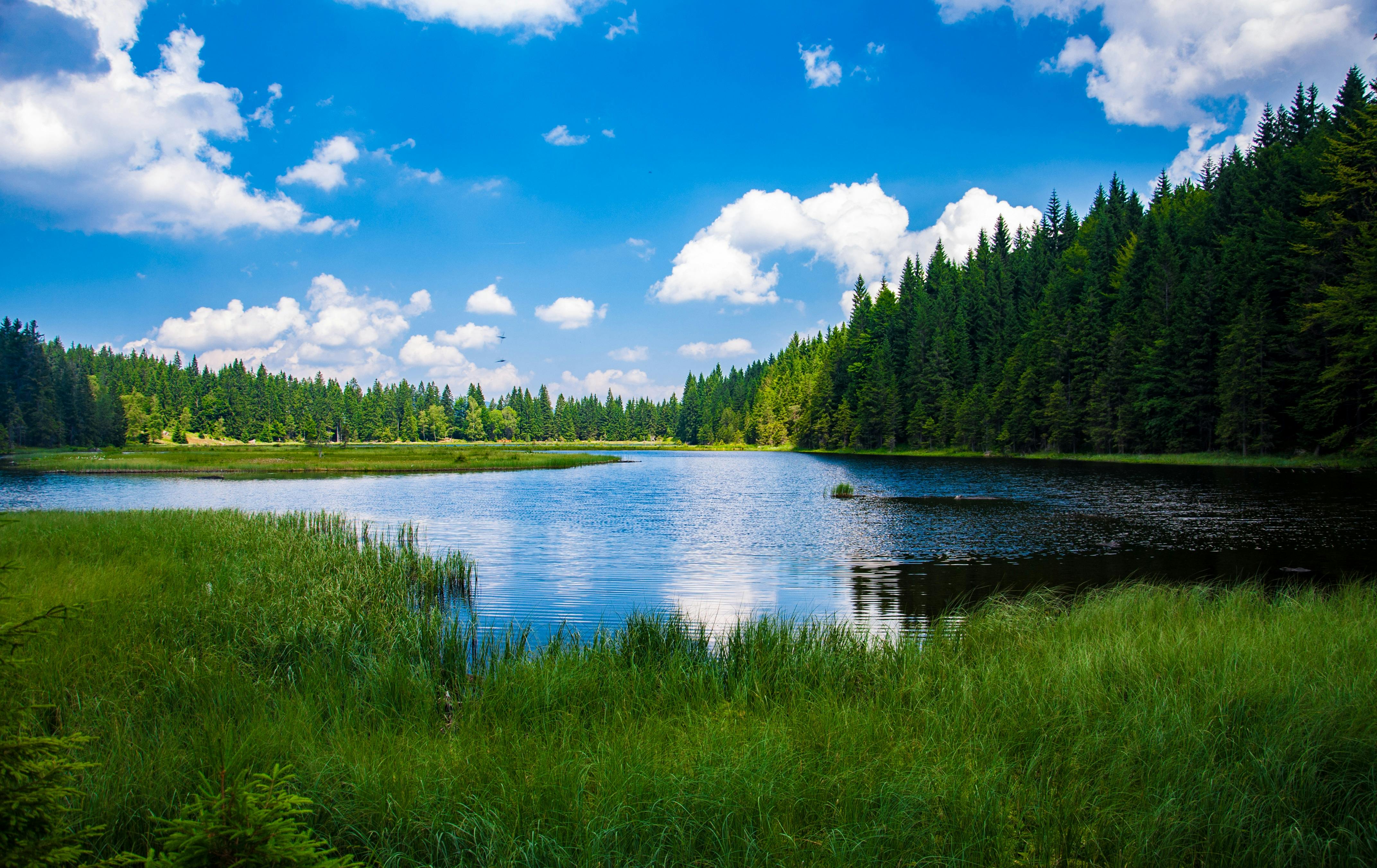
Lake Shelbyville sits at a normal summer recreation pool of 599.7 feet above sea level. Managed by the U.S. Army Corps of Engineers, this massive central Illinois reservoir spans roughly 11,100 acres during peak months, offering boaters, anglers, and campers a premier outdoor destination. However, water levels fluctuate constantly based on seasonal precipitation, heavy spring rains, and targeted winter drawdowns designed to prevent downstream flooding along the Kaskaskia River.
Knowing how to read these fluctuations protects your watercraft, helps you find active fish, and ensures your lakeside trip goes smoothly. Whether you're planning a summer houseboat excursion or scouting late-fall shoreline spots, understanding the mechanics behind the pool gauge saves you from stranded docks and clipped propellers.
Understanding Lake Shelbyville Pool Elevations
The Corps of Engineers measures pool elevation using specific operational thresholds. The summer pool target is 599.7 feet, which balances recreational access with shoreline property protection. During this season, the water covers thousands of acres of timbered coves and open flats.
When autumn rolls around, the Corps systematically lowers the lake by about 5.7 feet down to a winter pool target of roughly 594 feet. This intentional drawdown isn't caused by drought; rather, it creates crucial storage capacity for heavy late-winter snowmelt and spring rainstorms. Without this buffer, sudden downpours could trigger severe localized flooding downstream.
Flood Control and High Water Events
While the normal summer pool covers 11,100 acres, the structural design allows for a massive flood control pool that stretches up to 626.5 feet. At that maximum design capacity, the surface area balloons to more than 25,000 acres, storing hundreds of thousands of acre-feet of stormwater.
During exceptionally wet years, heavy inflows can push water levels well past 609 or 610 feet for weeks at a time as engineers slowly meter out releases through the dam. High water creates unique hazards. Submerged picnic tables, picnic shelters, and roadbeds turn into invisible obstacles for boaters who rely on standard summer navigation paths.
How Water Levels Impact Boating and Recreation
Swings in pool height change the lake's geography overnight. When the water drops toward winter pool, many shallow boat ramps become completely unusable, leaving only deep-water concrete launches open. Sandbars that sit safely underwater in July turn into hull-cracking hazards in November.
- Check official ramps: Always verify open ramp statuses through the US Army Corps of Engineers St. Louis District before hauling your boat to the park.
- Stick to channel markers: During low-water periods, stay strictly within marked navigation buoys to avoid striking submerged stumps and rock flats.
- Account for dock angles: High water can submerge fixed docks entirely, while extreme low water leaves floating docks resting precariously on dry mud.
Anglers face similar shifts. Fish behavior changes drastically as water rises or falls. Rising spring waters push fish into newly flooded brush and shoreline terrestrial vegetation, while falling winter levels force populations back out toward deeper river channels and basin drops.
Where to Track Real-Time Water Data
Guessing the lake level based on shoreline appearance leads to mistakes. Because conditions change hourly, reliable tracking tools give you precise numbers before you leave home.
You can monitor current conditions directly through official federal instruments. The USACE Water Management Data System provides live updates on pool elevation, tailwater levels, inflow rates, and scheduled outflow volumes. Checking these statistics helps you anticipate whether the lake is rising or dropping following regional storms.
Common Mistakes to Avoid
Visitors often misinterpret water reports or fail to adjust their plans to seasonal realities. Avoiding these frequent missteps protects your equipment and keeps your trip safe.
- Assuming summer pool year-round: Visiting in November and expecting full summer depth will result in propeller damage. Always remember the seasonal winter drawdown.
- Ignoring tailwater conditions: Heavy water releases from the dam raise tailwater levels rapidly, creating dangerous currents for fishermen below the structure.
- Overlooking wind effects: Strong regional winds can pile water up against one end of the lake, causing local gauge readings to differ by several inches from actual conditions across open water.
Frequently Asked Questions
What is the normal pool level for Lake Shelbyville?
The normal summer recreation pool is 599.7 feet above sea level.
Why does the lake level drop in the winter?
The Corps of Engineers draws the lake down by roughly 5.7 feet each autumn to create flood storage capacity for heavy spring rains and winter runoff.
Where can I check live water flow rates?
You can track real-time pool elevation and discharge rates using the official USACE St. Louis District Water Control portal.
Are all boat ramps open when the water is low?
No. Many shallow-water ramps become dry or unusable during winter drawdown periods, so you must rely on deeper concrete launches.


