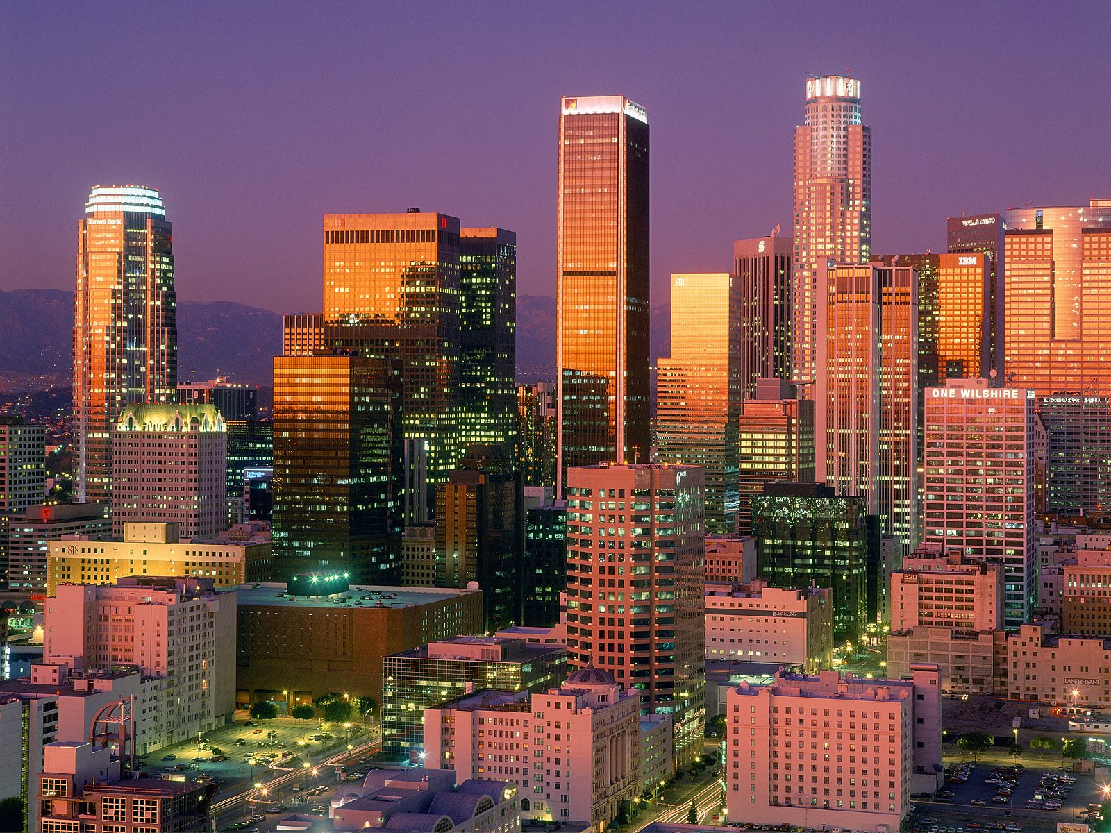
The drive from Los Angeles to Las Vegas spans roughly 270 miles along Interstate 15 and takes between four and six hours under normal traffic conditions. While you can complete the journey non-stop, timing your departure is critical to avoid grueling weekend gridlocks in the Inland Empire. The route cuts through the vast Mojave Desert, offering a sharp contrast between buzzing urban sprawl and surreal, dusty Americana.
Success on this classic stretch of highway comes down to preparation. You'll face extreme desert temperatures, limited cellular coverage in remote pockets, and notorious bottlenecks on Sunday afternoons when thousands head back toward Southern California. Knowing when to leave, where to refuel, and which roadside oddities are worth your time turns a standard highway commute into a memorable journey.
Route Overview and Core Logistics
Most drivers take Interstate 15 straight from the Los Angeles basin through San Bernardino, past Barstow, and across the Nevada state line into Primm. Without stops or heavy traffic, the direct route takes about four hours. However, real-world variables change that timeline completely.
Leaving Los Angeles on a Friday afternoon or returning on a Sunday afternoon can easily double your driving time. To keep your sanity, plan to leave either early Friday morning before 6:00 AM or on a Saturday morning. If you're coming back, try to cross the state line before 9:00 AM on Sunday or wait until Monday morning.
Weather is another major factor. Summer temperatures across the Mojave routinely exceed 100 degrees Fahrenheit, putting stress on car cooling systems and tires. Check your vehicle's oil, coolant, and tire pressure before leaving the driveway. You should also download offline maps, because GPS signals can drop or lag in remote desert stretches.
Best Road Trip Stops and Detours
Breaking up the drive makes the miles pass quickly. Several distinct stops sit just off the interstate, offering food, history, and photo opportunities.
Elmer's Bottle Tree Ranch
Located just off Route 66 near Helendale, this eccentric open-air art installation features hundreds of metal pipes adorned with colorful glass bottles. It's a quiet, photogenic spot that takes about twenty minutes to explore. Because it sits on an active stretch of the old highway, pull safely onto the shoulder and watch for passing cars.
Calico Ghost Town
Just north of Barstow, Calico is an authentic 1880s silver mining town that has been preserved as a regional park. It features old-style saloons, mine tours, and narrow-gauge train rides. It takes about an hour to walk through and works well for families or anyone looking to stretch their legs away from the interstate.
Baker and the World's Tallest Thermometer
Roughly 60 miles south of the Nevada border, Baker serves as a primary oasis for weary drivers. It features the famous 134-foot-tall thermometer, which nods to the area's record-breaking heat. Grab a quick snack, check your tires, and use the restroom here before tackling the final stretch through the desert.
Seven Magic Mountains
positioned just a few miles south of Las Vegas, this public art installation features seven towering structures of brightly painted neon boulders. It's a quick detour off the highway and makes for a popular photo stop right before you hit the neon of the Strip.
Essential Packing and Vehicle Preparation
Driving through the desert requires a bit more foresight than a standard highway commute. Packing the right supplies prevents minor inconveniences from turning into major emergencies.
- Water: Pack at least one gallon of drinking water per person, plus extra water for your car's radiator if it overheats.
- Emergency Kit: Bring jumper cables, a flashlight, a tire pressure gauge, and a small portable air compressor.
- Sun Protection: The desert sun is intense through car windows. Pack sunglasses, sunscreen, and a window shade if you plan to park outside.
- Cash: Keep a small amount of cash handy for older roadside cash-only stands or toll-adjacent parking lots.
For official updates on road conditions, construction delays, and chain controls during winter storms in the mountain passes, check the Caltrans QuickMap before you turn the ignition.
Common Mistakes to Avoid
Drivers frequently make a few avoidable errors on this route, leading to frustration, delays, or mechanical trouble.
- Waiting too long to refuel: Gas prices spike significantly in remote desert towns like Baker or Kelso. Fill up your tank in Barstow or Victorville where prices remain reasonable.
- Ignoring the Sunday afternoon bottleneck: Trying to drive back to LA between 1:00 PM and 8:00 PM on Sunday guarantees you'll sit in bumper-to-bumper traffic near the Primm state line. Adjust your schedule to miss this window.
- Underestimating desert heat: Never leave pets or children inside a parked car, even with the windows cracked slightly, as interior temperatures skyrocket within minutes.
Frequently Asked Questions
What is the absolute best time to start the drive from LA to Vegas?
Leaving between 5:00 AM and 6:00 AM lets you beat the morning commuter traffic leaving the Los Angeles basin and gets you to Las Vegas by late morning, leaving your entire afternoon open.
Are there electric vehicle charging stations along the I-15?
Yes. Fast-charging stations are available in Barstow, Baker, and Primm. However, holiday traffic surges can cause lines at chargers, so check your vehicle's range app and charge up fully before leaving Barstow.
Is the drive dangerous at night?
The interstate is well-paved, but much of the route lacks streetlights and cellular service. Wildlife like coyotes or stray debris can also appear suddenly on the asphalt. Driving during daylight hours is always safer and more scenic.
Can I complete this drive using public transportation instead?
If you prefer not to drive, you can take a regional bus line, fly out of LAX or regional airports, or utilize passenger rail options as they develop. For current scheduling and route details on intercity transit, visit Amtrak.


