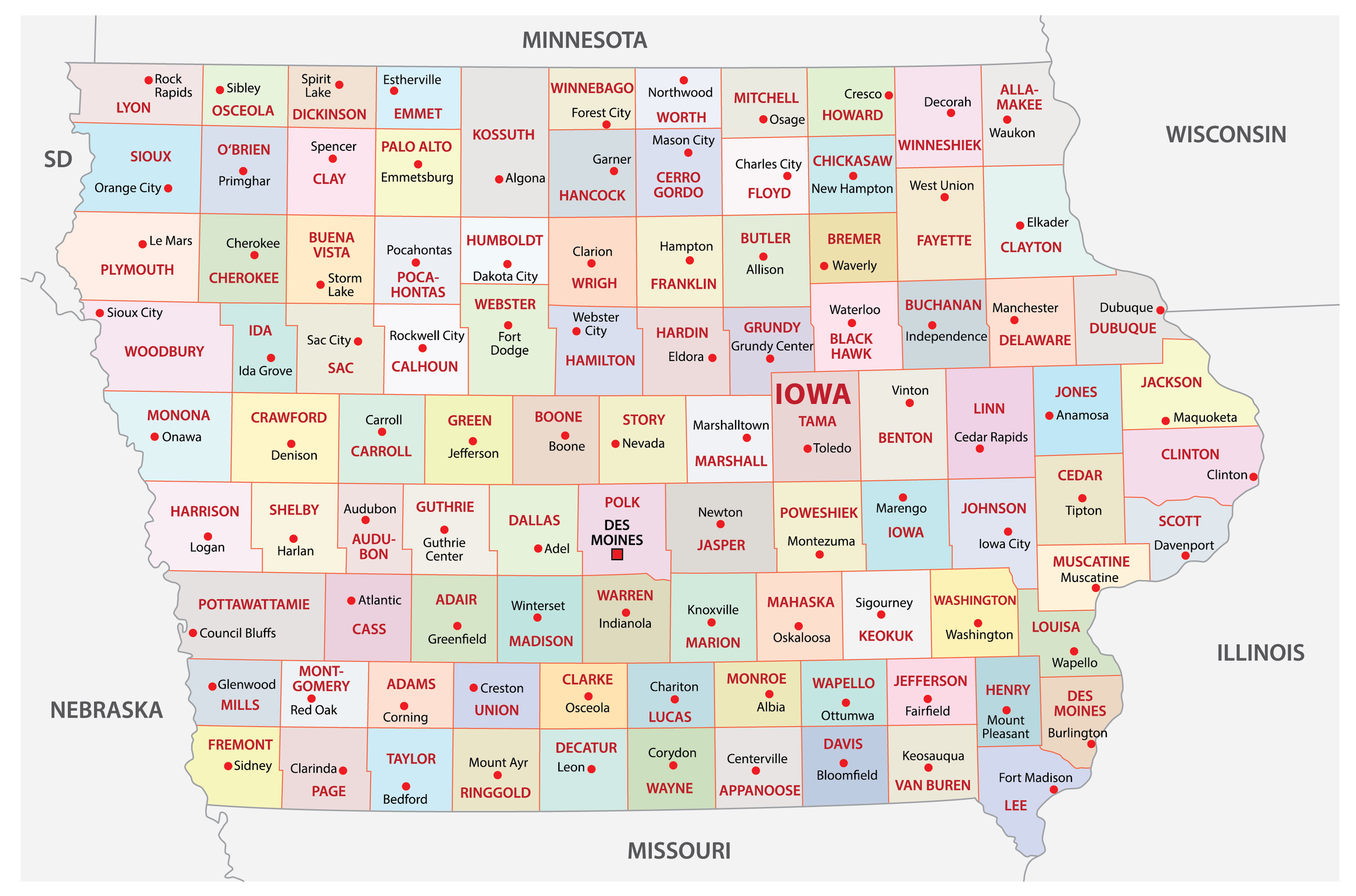
Navigating Iowa highways safely requires accurate data before you turn the ignition. The Iowa Department of Transportation operates Iowa Roads 511, a comprehensive traveler information system that delivers real-time updates on traffic incidents, road construction, weather disruptions, and winter driving conditions. Whether you're commuting across the state or hauling freight, mastering this tool keeps you out of unexpected delays.
The platform is accessible via a mobile app, an interactive online map, and a standard phone service. It covers all state highways, U.S. routes, and interstates. It doesn't track local city streets or county roads, so you'll need local municipal apps for neighborhood routing. Let's break down how to use this intelligence network effectively.
Core Features of the Iowa 511 System
Knowing what data streams are available helps you plan smarter detours. The platform packs several distinct layers you can toggle on or off depending on your needs.
- Live Traffic Cameras: Access thousands of stationary images and live-streaming video feeds across interstates and major state routes.
- Winter Road Conditions: During snowstorms, the system updates road surface conditions—ranging from normal to completely ice-covered or impassable.
- Snow Plow Tracking: Monitor active plow locations and view mounted camera feeds to judge visibility ahead of you.
- Commercial Vehicle Trucker Mode: Tailored specifically for freight operators, highlighting weight restrictions, low clearances, and designated truck parking availability.
Setting Up Your Personalized Account
You don't need an account to view basic road speeds or incidents, but creating a free profile on the Iowa 511 Map unlocks advanced monitoring tools.
- Visit the official portal or download the mobile app on iOS or Android.
- Register using a valid email address and secure password.
- Define your routine commutes, such as your home-to-work path or frequent freight corridors.
- Set up custom text or email alerts for accidents, construction blocks, or severe weather warnings along those specific routes.
Once configured, the system pushes notifications straight to your device before you leave your driveway. This automation prevents you from getting trapped behind sudden multi-vehicle pileups or emergency lane closures.
Mastering Winter Driving Intelligence
Iowa winters test even the most experienced drivers. The 511 platform shifts into a specialized mode when snow and ice hit.
Look out for orange glowing icons that denote specific travel time delays. More importantly, pay attention to official "Towing Not Recommended" or "Towing Prohibited" alerts. When plow operators and state troopers issue these notices, winds and drifting snow have created whiteout conditions where standard recovery vehicles cannot safely operate. Staying off these stretches saves lives and prevents costly winter wrecks.
Combine these alerts with the built-in weather radar layer. Seeing a squall line move across the map in real time helps you decide whether to wait out the storm at a rest area or push through safely.
Common Mistakes to Avoid
Drivers often misuse traveler intelligence tools, leading to frustration or dangerous distractions. Keep these pitfalls in mind.
- Looking at the phone while driving: Iowa law bans using handheld electronic communication devices to read or write text while operating a vehicle. Use the app's hands-free, eyes-free audio announcement mode instead.
- Expecting county road data: Remember that rural gravel roads and municipal streets aren't monitored by the state DOT. Don't rely on 511 for your final two miles down a township road.
- Ignoring data latency: While updates happen nearly in real time, severe weather events evolve faster than field reports. Always match digital data with what you see directly through your windshield.
Frequently Asked Questions
Do I need to pay to download or use Iowa 511?
No. Both the mobile application and the desktop website are entirely free public services provided by the state.
How do I view live video feeds instead of static pictures?
On the interactive map, tap a camera icon. The pop-up window will specify if the location supports live streaming video or provides a periodic snapshot.
Can I see rest area truck parking availability?
Yes. The system tracks real-time truck parking capacity at state rest areas and select private corridor locations, helping commercial drivers manage mandatory hours of service.
Does the system cover roads outside Iowa?
While the core focus remains strictly inside state lines, the winter road condition layers often display cross-border data for surrounding states to help seamless interstate planning.


