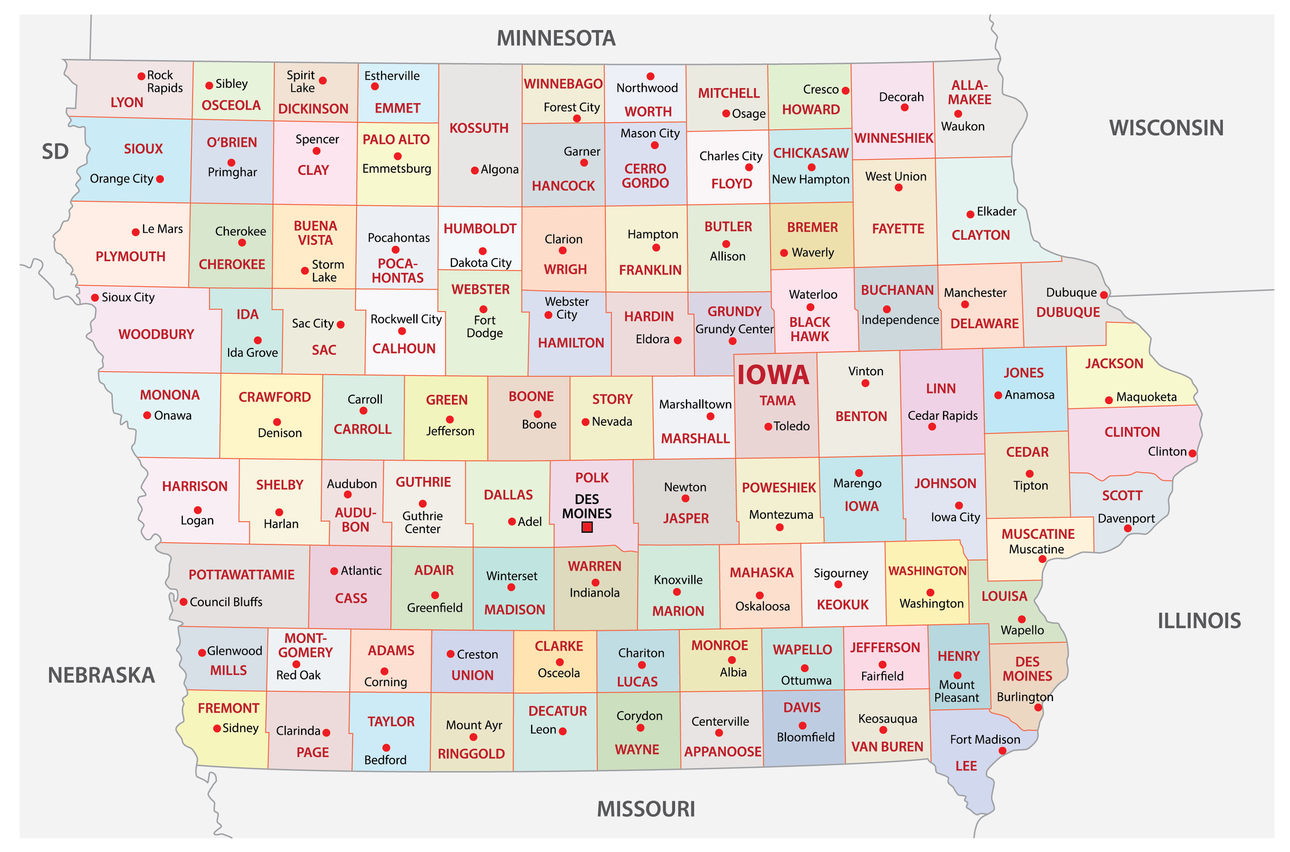
Navigating Iowa highways safely requires instant access to verified traffic updates, winter weather statuses, and sudden closures. Whether you're commuting across urban interstates or hauling freight across rural state routes, waiting until you hit a traffic jam wastes time and creates hazards. The official Iowa Department of Transportation operates the Iowa 511 system to give drivers direct oversight of state infrastructure. Knowing how to use this platform effectively keeps you safe and on schedule.
The system aggregates live data from state snowplow fleets, roadside sensors, weather stations, and highway patrol incident reports. Instead of guessing whether ice has settled on rural stretches of Interstate 80 or Highway 30, you can check verified map layers before turning the key. This guide breaks down how to access real-time road conditions, interpret map statuses, and customize alerts for your daily commute.
Understanding the Iowa 511 Real-Time Map
The core of the state's traveler information network is the interactive mapping portal found at 511ia.org. When you load the map interface, you're viewing data collected directly by the Iowa DOT's Office of Traffic Operations.
The map relies on color-coded highway segments and discrete marker icons to indicate current states. During winter weather events—which span from mid-October through mid-April—road condition segments update continuously.
- Normal Conditions: Highways clear of ice, snow, and severe weather hazards display standard colors or default styling.
- Seasonal Weather Classifications: Segments show varying levels of winter coverage, ranging from wet pavement to completely snow-covered or icy tracks.
- Incident Markers: Triangle and square symbols indicate active crashes, stalled vehicles, disabled semi-trucks, or emergency maintenance operations.
- Orange Glowing Icons: These highlight specific travel time delays caused by backups, bottlenecks, or heavy congestion.
You don't need to stare at the screen while driving to benefit from the platform. The Iowa 511 mobile application features hands-free, eyes-free audio announcements that call out upcoming traffic events along your active route.
How to Check Closures and Construction Alerts
Unexpected closures and long-term construction zones disrupt travel plans across Iowa's 114,000 miles of public roads. The Iowa DOT map lets you filter specific data layers so you only see what matters to your trip.
To check closures efficiently, open the map menu and toggle on the layers for Closures, Work Zones, and Restrictions.
- Tap the Layer Icon: Select the specific filter menu on the right side of the map interface.
- Select Incident Filters: Check boxes for construction, maintenance, and emergency road closures.
- Inspect Segment Popups: Click any highlighted orange or red warning icon to read official notes from dispatchers, including expected reopening times and detour recommendations.
- Review Truck Restrictions: Commercial vehicle operators can toggle Trucker Mode to view bridge weight limits, low clearances, and seasonal permit restrictions.
Construction zones often feature reduced speed limits monitored by automated fines or state troopers. Checking the map before departure helps you plan alternative bypass routes around major urban interstate projects near Des Moines, Cedar Rapids, or Iowa City.
Tracking Snowplows and Winter Driving Hazards
Winter storms across the Midwest change road traction within minutes. The Iowa DOT provides specialized tracking features that go beyond basic traffic cameras.
You can view live data from the state's snowplow fleet using the Track A Plow feature integrated into the public open data and 511 portals. This tool displays active plow locations alongside dashboard camera images updated every few minutes. Seeing what the driver sees helps you judge visibility on open stretches of highway.
Pay close attention to specific winter warning categories issued during severe storms:
- Towing Not Recommended: This critical alert indicates that winter conditions are hazardous enough that if your vehicle slides into a ditch, local towing services cannot safely operate until the storm passes.
- Partially Covered / Completely Covered: These designations tell you whether tire tracks have cleared the lane or if compressed snow and ice blanket the entire roadway.
- Reduced Visibility Warnings: Fog, blowing snow, and high winds trigger dynamic message signs across major corridors.
When these alerts appear, slow down significantly, increase your following distance to at least eight to ten seconds, and stay well back from working snowplows spreading salt and brine.
Setting Up Custom Alerts and Mobile Access
Relying on manual searches every time you travel gets tedious. You can personalize your experience by creating a free Your 511 account.
Creating an account allows you to save frequent routes—such as your daily work commute between Ames and Des Moines—and designate favorite traffic camera feeds. If a crash or weather closure occurs on your saved path, the system pushes automated text messages or emails directly to your device.
You can access the system across three primary channels:
- Web Browser: Visit the primary portal at 511ia.org for full-screen desktop planning.
- Mobile Applications: Download the official Iowa 511 app from the Apple App Store or Google Play Store.
- Phone Service: Dial 511 from anywhere inside Iowa (or 800-288-1047 nationwide) to access an interactive, voice-activated system for hands-free updates. Always pull over to a rest area or fuel station before placing calls if you are driving alone.
Common Mistakes to Avoid
Drivers often run into trouble by misusing travel planning tools or ignoring critical road warnings. Avoiding these frequent errors ensures a smoother trip:
- Checking County Roads on 511: The Iowa 511 system covers interstates, U.S. routes, and state highways. It does not track local city streets or rural county secondary roads. Check local county engineer pages for unpaved or local route conditions.
- Ignoring Camera Timestamps: Always look at the timestamp on traffic camera images. If an image hasn't refreshed in twenty minutes, a local power or communication outage might be affecting the feed.
- Trusting Clear Pavement Too Fast: Bridges and overpasses freeze much faster than standard asphalt. Even if a map segment shows normal conditions, approach elevated structures with caution during freezing transitions.
- Using Apps While Driving: Handling a mobile phone to check map zoom levels while operating a vehicle violates Iowa law and creates severe crash risks. Set your audio announcements up before leaving your driveway.
Frequently Asked Questions
Does Iowa 511 show road conditions for neighboring states?
Yes. The interactive map includes border-crossing data feeds from surrounding transportation departments, including Illinois, Missouri, Nebraska, South Dakota, Minnesota, and Wisconsin, allowing seamless trip planning across state lines.
How often are winter road conditions updated on the map?
During the active winter season from October 15 through April 15, road condition segments update roughly every ten minutes as field reports and plow operator observations come in. Updates happen on an as-needed basis during warmer months.
Is there a fee to use the Iowa 511 app or website?
No. All official Iowa DOT traveler tools, including the website, mobile app, and telephone line, are entirely free public services provided by the state.
What should I do if the Iowa 511 app fails to load my location?
Ensure that your mobile device has location permissions enabled for the app. You can manually tap the location target icon in the upper corner of the map interface to force the display to center on your current GPS coordinates.


