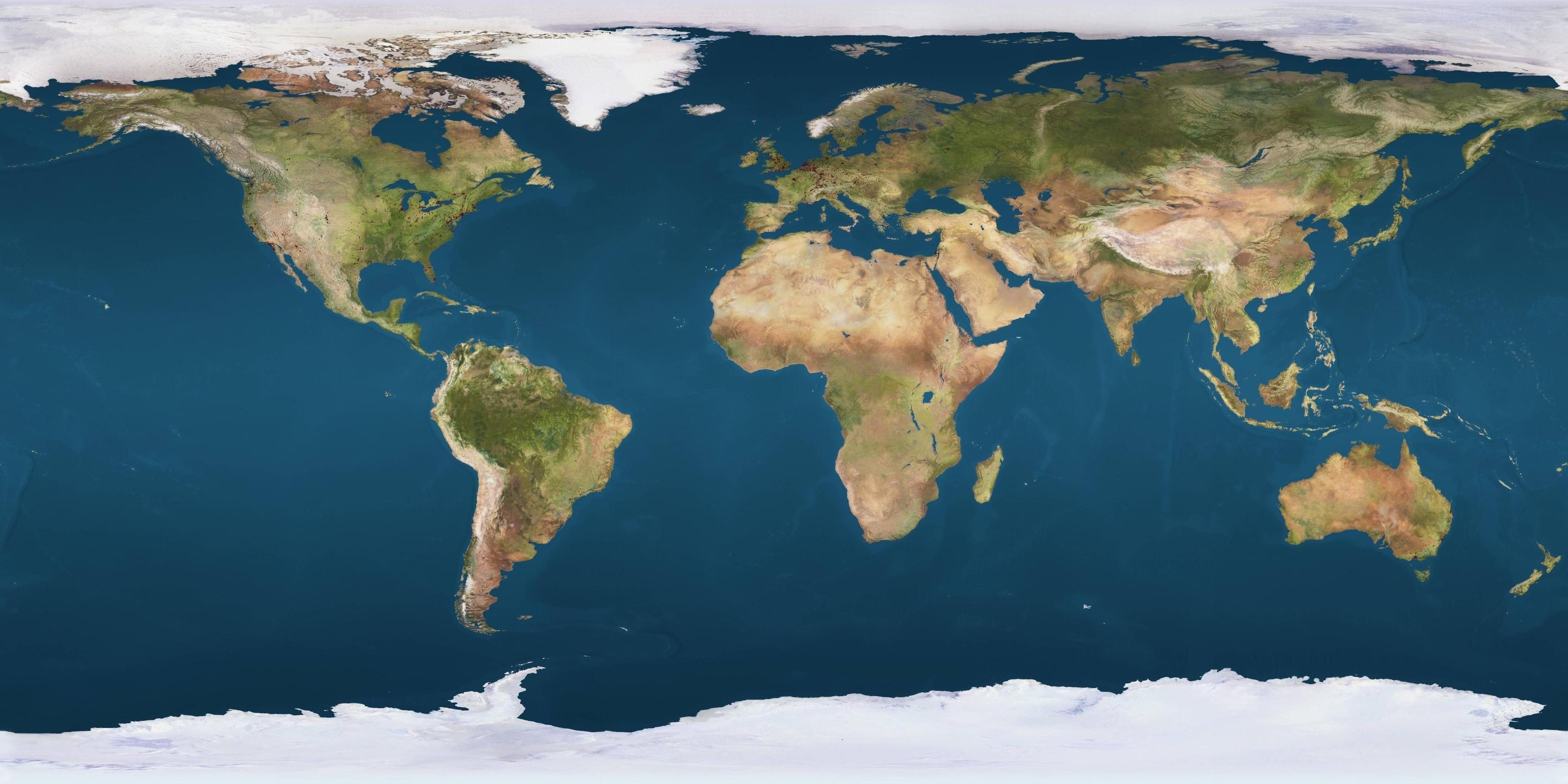
Positioned between the Indian and Pacific Oceans, Indonesia commands the maritime highways that fuel the global economy. As the world's largest archipelagic state, it bridges mainland Asia and Australia, transforming geography into diplomatic leverage.
Understanding Indonesia on the world map requires looking past standard cartography. It demands examining the exact sea lanes, critical mineral deposits, and climate dynamics that make Jakarta a central player in twenty-first-century international relations.
Geographic Coordinates and the Archipelagic Principle
Spanning an equatorial stretch of 5,120 kilometers from east to west, Indonesia comprises roughly 17,500 islands, though only about 6,000 are permanently inhabited. The nation's official borders encompass a land area of 1.9 million square kilometers, but its sovereign maritime domain expands that footprint drastically.
Historically, colonial powers treated island groups as separate colonial possessions or isolated maritime spaces. That changed with the Juanda Declaration of 1957, which established the archipelagic principle. Instead of drawing territorial waters around each individual island, Indonesia drew baselines around the outermost perimeter of the entire island chain. This legal framework was later codified into international law via the United Nations Convention on the Law of the Sea.
Today, this territorial model grants Indonesia control over vital internal seas and straits, turning the archipelago into a coherent sovereign zone rather than a fragmented collection of islands.
Maritime Chokepoints and Global Trade
Geographical location dictates economic significance, and Indonesia sits directly on the maritime superhighways connecting East Asian manufacturing hubs to European and Middle Eastern markets.
Several critical straits pierce through or border Indonesian territory:
- The Strait of Malacca: Running between Sumatra and the Malay Peninsula, this narrow corridor carries a massive share of global maritime commerce, including oil shipments from the Middle East to China, Japan, and South Korea.
- The Sunda Strait: Situated between Java and Sumatra, it serves as an alternative deep-water route for supertankers too large for the shallower parts of Malacca.
- The Lombok Strait: Located between Bali and Lombok, this passage is deeper and wider than Malacca, making it a primary route for heavy commercial traffic and naval vessels moving between the Indian and Pacific Oceans.
Because these waters are vital for international supply chains, shipping disruptions near Indonesia ripple across global stock markets within hours. Recognizing this vulnerability, the Indonesian government launched the Global Maritime Fulcrum initiative, upgrading deep-water ports, modernizing customs infrastructure, and expanding naval patrols to secure domestic waters against piracy and illegal fishing.
Critical Minerals and the Nickel Economy
Beyond shipping lanes, Indonesia's position on the map anchors a massive shift in global energy supply chains. The archipelago holds the world's largest reserves of nickel, a primary component in electric vehicle lithium-ion batteries.
For decades, Indonesia exported raw nickel ore with minimal domestic processing. In recent years, the government banned raw ore exports to force foreign corporations to build processing plants locally. Billions of dollars in foreign direct investment flowed into provinces like Central Sulawesi and North Maluku, transforming industrial zones and reshaping the global market for critical battery components.
This strategy carries trade friction. Importers in Western markets and multilateral bodies have challenged domestic processing mandates at the World Trade Organization, arguing that export bans disrupt free-market access. Even so, Indonesia's resource leverage has forced automakers and technology giants to negotiate directly with Jakarta, shifting manufacturing power balances eastward.
Climate Politics and Deforestation Pressures
Indonesia's environment plays a disproportionate role in global climate stabilization. The country contains vast expanses of tropical rainforests on Borneo and Sumatra, alongside millions of hectares of carbon-rich peatlands that trap gigatons of greenhouse gases underground.
When these forests are cleared or drained for palm oil plantations and pulp operations, carbon dioxide releases rapidly into the atmosphere. International pressure has driven policy shifts over the last decade. Government agencies implemented strict moratoria on primary forest clearing, and domestic enforcement agencies have cracked down on illegal slash-and-burn land preparation.
At the same time, the archipelago faces severe, immediate threats from climate change. Coastal cities like Jakarta face rapid land subsidence driven by excessive groundwater extraction combined with rising sea levels. The compounding risk forced a massive national project: relocating the nation's administrative capital from Jakarta on sinking Java to Nusantara, a planned forest city currently under construction in East Kalimantan.
Geopolitical Balancing: Non-Alignment in a Bipolar World
In international diplomacy, Indonesia maintains a strict traditional policy of "free and active" neutrality. It avoids formal military alliances with major superpowers, balancing economic dependence on Beijing with security cooperation involving Washington.
As competition between the United States and China intensifies across the Indo-Pacific, Jakarta resists choosing sides. It participates in multilateral frameworks led by ASEAN while hosting naval drills with foreign partners, including joint exercises with Western and Asian militaries. This diplomatic posture positions Indonesia as a key mediator in regional disputes, particularly regarding maritime sovereignty claims in the South China Sea.
Frequently Asked Questions
What are the main islands that make up Indonesia?
The country is dominated by five primary islands and island groups: Sumatra, Java, Kalimantan (the Indonesian portion of Borneo), Sulawesi, and the Papua region. Java holds the majority of the human population and political power, while Kalimantan and Sumatra hold heavy agricultural and industrial resource bases.
Why is the Sunda Strait important for international trade?
The Sunda Strait connects the Indian Ocean to the Java Sea and the South China Sea. It offers an alternative shipping lane for large cargo vessels and oil tankers that cannot pass through the congested or shallow sections of the Malacca Strait.
How does Indonesia's capital relocation affect its geography?
Moving the administrative capital from Jakarta to Nusantara in East Kalimantan shifts the country's center of gravity eastward. This decentralization aims to spread economic development away from Java while addressing severe urban congestion and environmental stress in Jakarta.
What is the Global Maritime Fulcrum strategy?
Launched under national policy directives, this initiative focuses on upgrading ports, improving inter-island shipping logistics, and strengthening maritime security infrastructure to unite the thousands of islands into a single cohesive economic market.