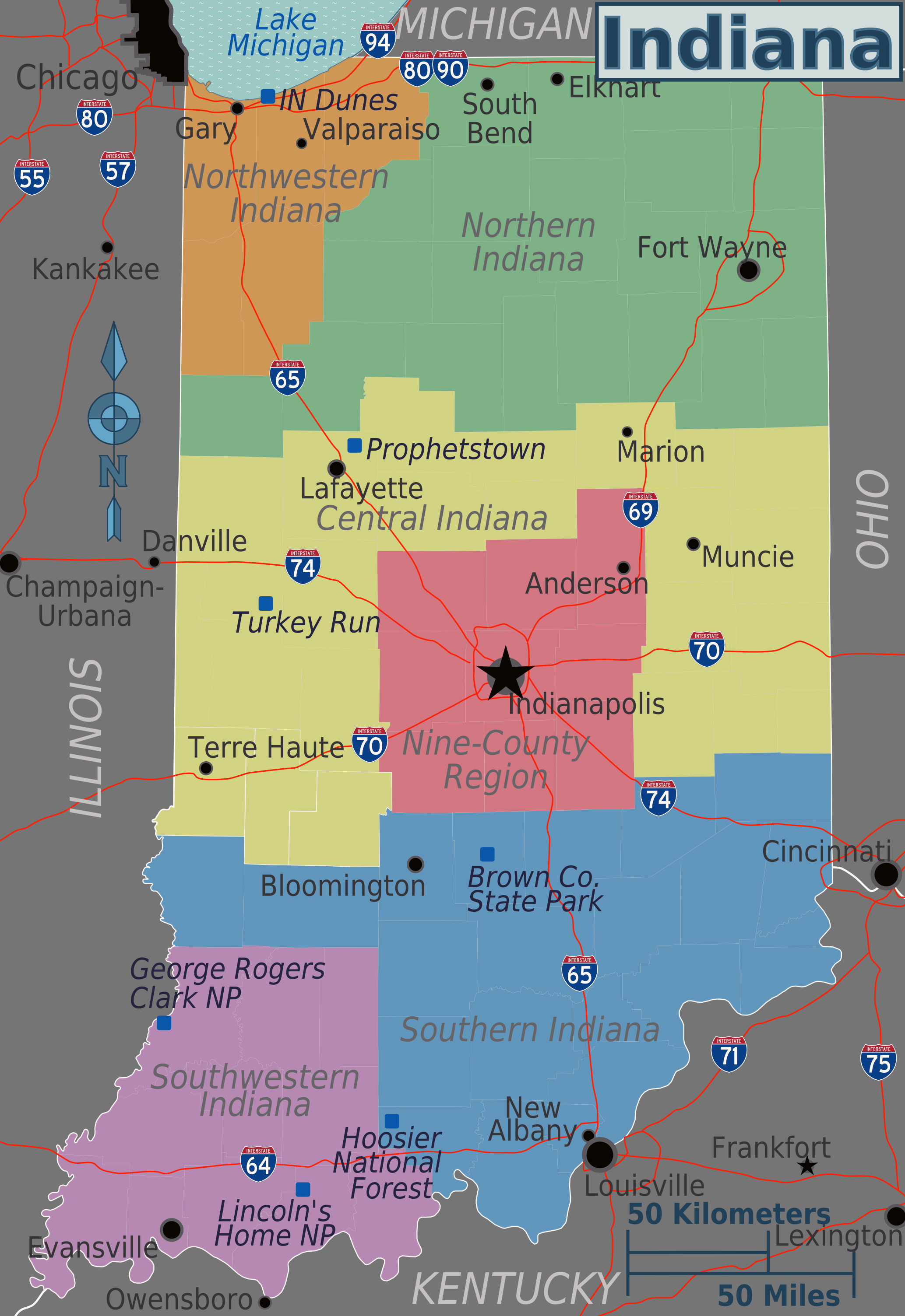
Navigating severe weather or hazardous road conditions across the Hoosier State requires checking the official Indiana travel advisory map hosted by the Indiana Department of Homeland Security. Unlike centralized state highway systems in other regions, Indiana empowers local county emergency management agencies to declare safety statuses independently. This decentralized approach means driving conditions can change drastically the moment you cross a county line during a winter storm or severe flooding event.
Understanding how these safety zones function keeps you out of legal trouble and protects you from dangerous road hazards. Each county reports its status directly to state officials, updating the live map in real time. Whether you're commuting across municipal borders or planning a cross-state road trip, knowing what each advisory level permits is essential for safe driving.
Understanding Indiana County Travel Status Levels
The state uses a clear, three-tier classification system managed under Indiana Code. Every level carries specific legal implications and behavioral expectations for drivers on local and state roads.
- Advisory: This is the lowest tier. It means routine travel or activities might be restricted in specific areas due to a localized hazardous situation. Drivers should exercise caution or actively avoid affected routes.
- Watch: Conditions pose a direct threat to public safety. Officials recommend that only essential travel—such as commuting to work or handling an emergency—takes place during a watch.
- Warning: The highest restriction level. Travel is restricted strictly to emergency management workers. Individuals are legally directed to refrain from all travel and stay off the roads, and a local disaster emergency declaration is typically active.
How to Check Real-Time Road Conditions
Accessing the official map on your mobile device is straightforward, but supplementing it with active highway tracking tools ensures complete situational awareness.
- Visit the official Indiana Department of Homeland Security Travel Advisory Map on your web browser.
- Click on specific counties or use the alphabetical table dropdown below the map interface to view individual county statuses and last-updated timestamps.
- Cross-reference county statuses with the Indiana Department of Transportation traffic and road condition feeds to see interstate closures, accidents, and plowing updates.
- Call the INDOT road conditions hotline at 1-800-261-ROAD if you lack mobile data coverage while traveling.
Legal Consequences and Enforcement
Ignoring a county travel warning isn't just dangerous; it can carry legal penalties. When a local emergency management agency declares a Warning, law enforcement officers have the authority to stop motorists to verify the necessity of their trip. If you are caught driving on non-essential business during a warning, you can be cited for reckless endangerment or a localized traffic infraction.
Furthermore, if you slide off an icy road or require emergency rescue during an active travel warning where you were explicitly told to stay off the roads, local municipalities may hold you financially liable for the cost of emergency response services. Insurance companies may also look closely at travel advisory statuses when evaluating claims for weather-related accidents.
Common Mistakes to Avoid
Drivers often make critical errors when interpreting Indiana weather alerts during winter storms or severe convective events. Avoid these common pitfalls to stay safe:
- Assuming a neighboring county shares the same status. Because local agencies make independent calls, one county might be under a routine Advisory while the adjacent county sits at a full Warning.
- Relying solely on third-party navigation apps. Standard GPS apps update traffic speeds, but they rarely integrate county-by-county emergency travel warnings in real time.
- Treating an Advisory as entirely harmless. An Advisory means hazards exist; ignoring minor warnings can lead you straight into unplowed drifts or high-water spots.
- Forgetting to check return trip conditions. Weather systems shift rapidly across the Midwest, turning a clear morning drive into an evening blizzard.
Frequently Asked Questions
Who has the authority to change a county's travel status?
Local county emergency management agency directors, working alongside local government officials, evaluate local road hazards and update their status under Indiana Code 10-14-3-29.
Does a travel warning close businesses?
Not automatically. While a travel warning directs individuals to stay off the roads, it does not legally mandate private business closures. Employers and employees must coordinate based on safety and essential operational needs.
Are interstates subject to county travel warnings?
Yes. Although interstates are state-maintained by INDOT, county emergency agencies hold jurisdiction over the geographic area. If a county declares a Warning, that restriction applies to all roadways within its boundaries, including major highways.
Where can I report impassable roads or local hazards?
Contact your local county sheriff's department or local emergency management office non-emergency line. Do not call 911 unless you are facing an immediate, life-threatening emergency.


