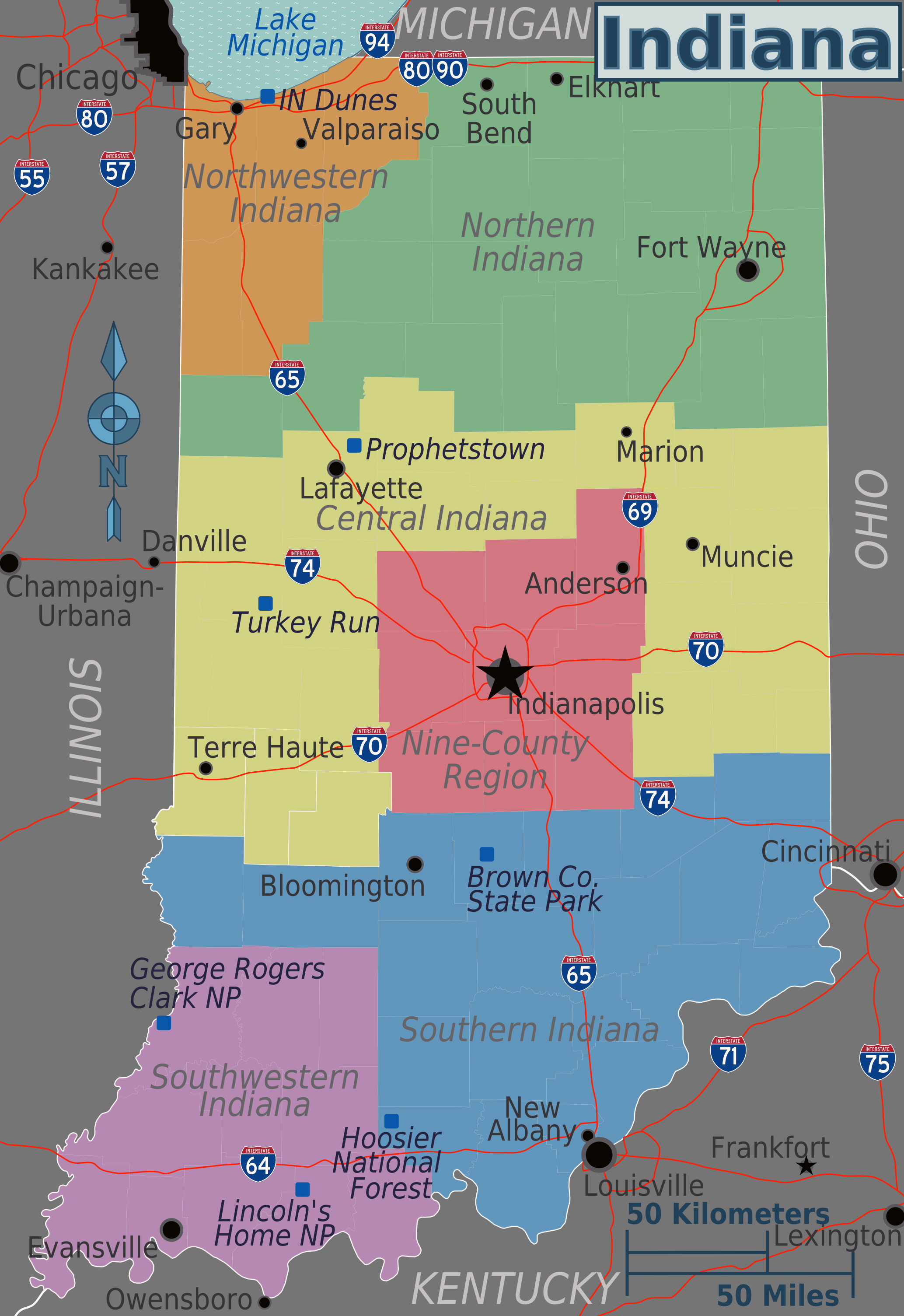
Navigating severe weather or hazardous road conditions across the Hoosier State requires a firm grasp of local emergency statuses. The Indiana Department of Homeland Security maintains a real-time tracking tool that compiles county-by-county updates. When winter storms, flooding, or major accidents impact infrastructure, local emergency management agencies report conditions directly to the state. Knowing how to interpret these updates prevents stranded vehicles, legal violations, and dangerous roadside encounters.
Understanding the classification framework lets you make immediate, practical decisions before leaving your driveway. The system relies on three distinct county-level declarations. Each tier carries specific legal expectations and safety boundaries that motorists must follow to protect emergency response crews and themselves.
Understanding Indiana Travel Advisory Levels
The state's emergency response framework breaks down road safety into three clear classifications. County officials assign these tiers based on localized visibility, accumulation, ice formation, and infrastructure damage.
- Advisory: Routine travel or activities may be restricted in specific areas because of a hazardous situation. Drivers should use caution or avoid those areas entirely.
- Watch: Conditions are actively threatening public safety. Only essential travel—such as commuting to and from work or responding to an emergency—is recommended.
- Warning: The most severe designation. Travel is restricted to emergency management workers only. Individuals are directed to refrain from all travel until conditions improve.
Failing to heed a warning level can result in traffic infractions or severe liability if emergency personnel have to rescue a stranded motorist from a closed route.
How Counties Report and Update Conditions
The system operates on a decentralized model where local authority dictates county-level designations. Under Indiana Code, each county emergency management agency evaluates local road hazards. Sheriff departments, highway supervisors, and municipal public works teams feed ground data to the county director.
Once local authorities determine that road conditions meet specific threshold criteria, they update their status through the state portal. Because weather fronts rarely respect county lines, a driver might cross from a clear green county into a red warning zone within a matter of minutes. Checking the live digital map prior to departure ensures you aren't caught off guard by shifting municipal boundaries.
Practical Steps for Safe Winter and Storm Driving
Checking a status map is only half the battle. When severe weather hits Indiana, proactive preparation keeps you out of dangerous scenarios on high-speed corridors like Interstate 65 or Interstate 70.
- Check the live map before starting the ignition: Never assume roads are clear just because your immediate neighborhood looks manageable. Look up your entire route across every county you plan to transit.
- Pack an emergency kit: Keep a heavy blanket, non-perishable snacks, bottled water, a flashlight, a portable phone charger, and an ice scraper in your trunk throughout winter months.
- Maintain a full tank of fuel: If you get stuck in a sudden bottleneck or weather-related gridlock, idling to keep warm consumes significant fuel.
- Keep distance from snowplows: State plow operators need room to maneuver and spread salt safely. Never crowd the plow or attempt to pass on narrow, unplowed shoulders.
Common Mistakes When Interpreting Road Advisories
Drivers often misinterpret what an advisory status actually permits. A common error is treating an advisory or watch designation as a mere suggestion rather than a serious safety warning.
Another frequent mistake involves relying solely on automated GPS mapping apps. Standard navigation software focuses on travel time and traffic congestion, but it rarely updates fast enough to reflect sudden county-level travel warnings or emergency road closures. Always cross-reference commercial navigation tools with official state safety portals during severe weather events.
Frequently Asked Questions
Who has the authority to change a county's travel status?
Local county emergency management agency directors hold the authority to declare and alter travel advisories for their specific jurisdiction, working in coordination with local law enforcement and highway departments.
Are travel advisories legally binding?
An advisory and a watch serve as strong safety recommendations, but a county-issued warning carries strict legal weight where travel is restricted to emergency personnel, and violators can be cited by law enforcement.
Does a state emergency override local county ratings?
While the governor can declare a statewide emergency during catastrophic events, day-to-day road conditions and tier levels remain under the direct purview of local county officials who understand localized weather impacts.
How often is the official state map refreshed?
The Indiana Department of Homeland Security updates its digital map dynamically as soon as county dispatchers report changes to their local status.


