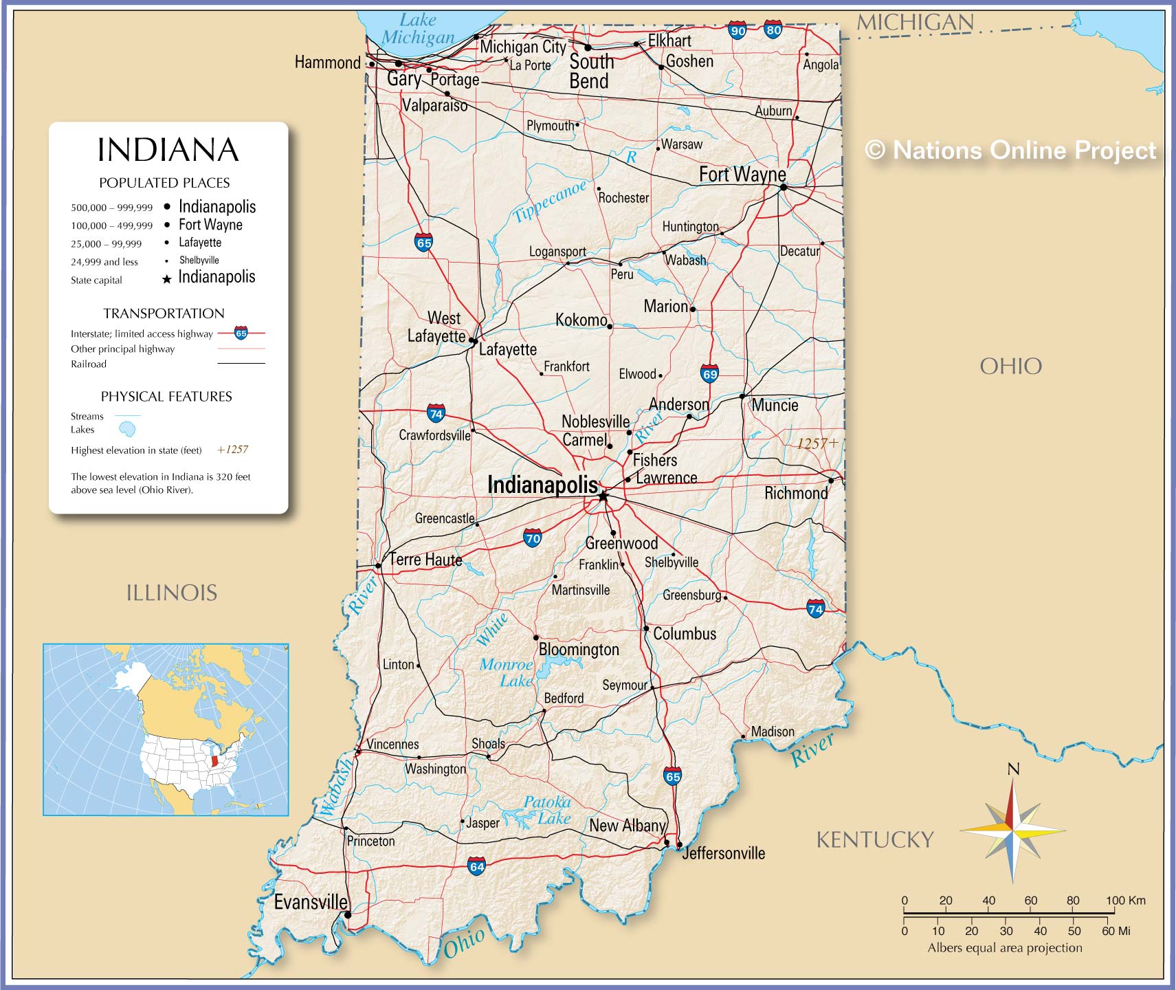
Navigating changing weather and road hazards across the Hoosier State requires a reliable, real-time resource. The Indiana travel advisory map, managed by the Indiana Department of Homeland Security (IDHS), provides live updates on county-by-county road restrictions. Whether you're commuting across state lines or planning a long-distance haul, knowing how to interpret these alerts keeps you out of dangerous conditions and legal trouble.
Understanding the state's color-coded system helps you make smart driving decisions before you hit the pavement. Local County Emergency Management Agencies update these statuses dynamically as conditions shift from minor weather inconveniences to severe emergencies.
Decoding Indiana Travel Advisory Levels
Indiana relies on a standardized three-tier color system to communicate road safety levels. Local authorities assign these statuses based on visibility, ice accumulation, flooding, and cleanup progress.
- Advisory (Yellow): This is the lowest level. Routine travel or activities may be restricted in specific areas because of a hazardous situation. You can still drive, but you'll encounter slick spots, reduced visibility, or localized debris. Slow down and give yourself extra braking distance.
- Watch (Orange): Conditions are threatening to the safety of the public. Only essential travel—such as commuting to work or handling critical business—is recommended. Emergency personnel urge drivers to stay off the roads unless necessary so snowplows and emergency vehicles can clear paths.
- Warning (Red): This is the most severe level. Travel is restricted to emergency management workers only. Being on the road during a red warning can result in legal penalties if you ignore restrictions and require rescue. Refrain from all non-essential travel immediately.
How the County-by-County System Works
Unlike states that apply blanket advisories statewide, Indiana splits its tracking by county. Storm systems rarely hit the entire state with uniform intensity. Lake-effect snow might bury northern counties near South Bend while central regions around Indianapolis experience cold rain.
County Emergency Management Agency (EMA) directors hold the authority to change their local status. They monitor conditions firsthand using highway patrols, sheriff departments, and road crews. Because of this localized approach, driving thirty miles east might take you from a clear green zone straight into an orange watch zone. Checking the map specifically for every county along your route is essential.
Accessing and Using the Live Map on Mobile Devices
You don't need a specialized mobile app to check road conditions on the go. While older versions of software existed, the state now optimizes its live tracking for mobile browsers.
- Open your smartphone browser and navigate to the official Indiana Department of Homeland Security Travel Advisory Map.
- Use the interactive map interface to tap directly on your destination county, or use the drop-down menu to select it alphabetically.
- Review the current status indicator and the timestamp showing when local officials last updated it.
- Cross-reference your path with the Indiana Department of Transportation (INDOT) traffic and road conditions portal for construction zones, accidents, and state highway closures.
Common Mistakes Drivers Make
Misinterpreting travel alerts leads to avoidable accidents and stranded vehicles. Avoid these frequent missteps:
- Assuming green means summer driving: A county without an active advisory can still experience black ice or sudden freezing rain during transition seasons. Always match your speed to actual road conditions rather than relying solely on the map color.
- Ignoring commercial vehicle restrictions: Truck drivers face stricter rules when counties enter Watch or Warning phases. Secondary roads often ban heavy freight even if major interstates remain open.
- Trusting outdated status pages: If you've left a browser tab open for hours, refresh the page. During major winter storms, county statuses update multiple times an hour.
Frequently Asked Questions
Can I get a ticket for driving during an Indiana travel warning?
Yes. When a county declares a Red Warning, local law enforcement can issue citations to motorists who travel without authorization. If you slide off the road and require emergency rescue during a warning, you may also face liability for rescue costs.
How often does the travel advisory map update?
The map updates in real time. County EMA directors change statuses as soon as ground conditions warrant an upgrade or downgrade. There is no fixed schedule, meaning updates happen around the clock during severe weather events.
Where can I call if I don't have internet access on the road?
You can check major highway conditions and restrictions by calling INDOT's road conditions hotline at 1-800-261-ROAD (7623).
Are interstate highways closed when a county issues a red warning?
Not automatically. Interstates fall under state jurisdiction, whereas local county advisories cover local and secondary roads. However, state police can shut down interstate segments during severe accidents or whiteout conditions regardless of the county map color.


