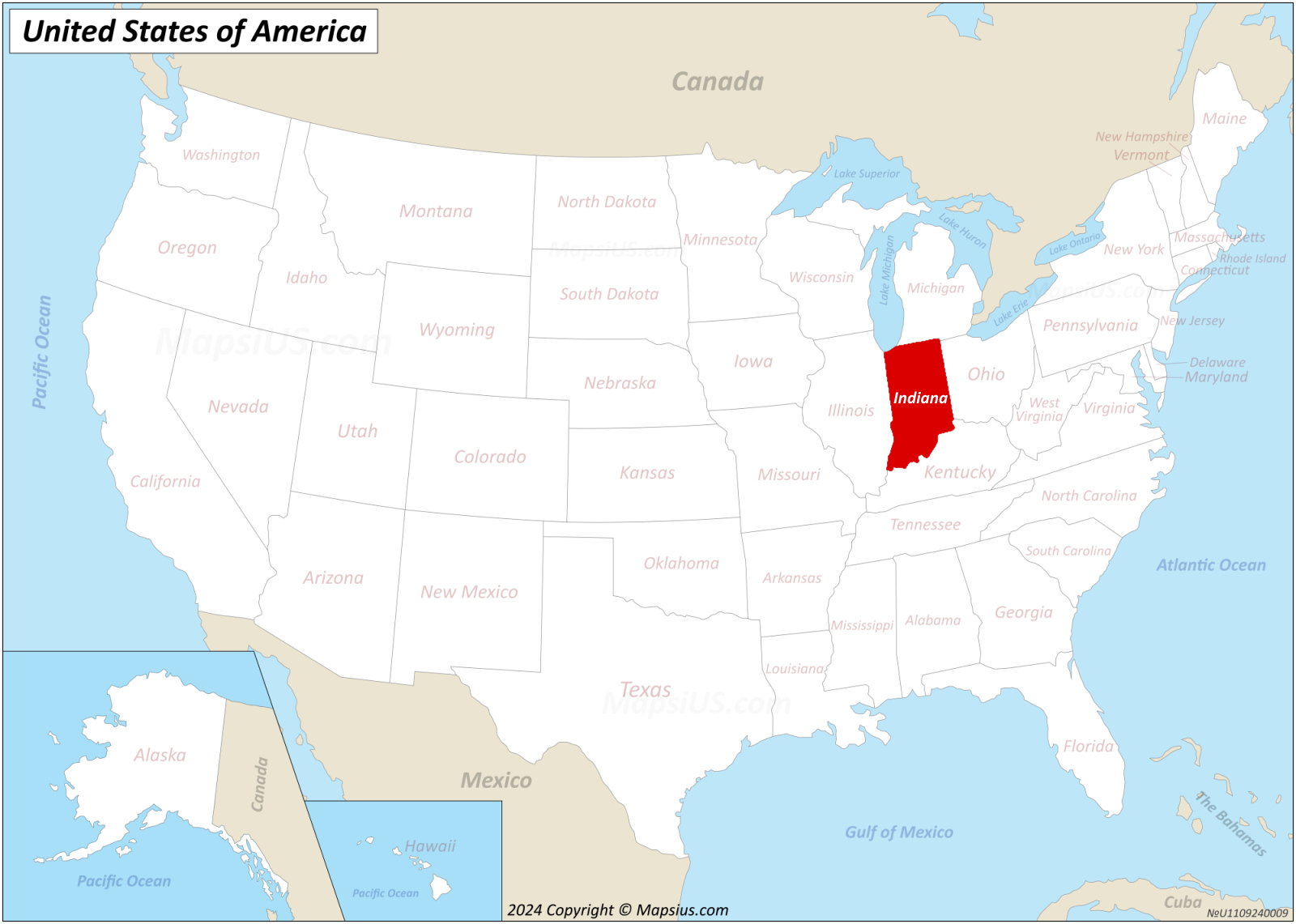
Winter storms and severe weather can turn Indiana highways into skating rinks within hours. When visibility drops and black ice forms, knowing how to interpret road alerts keeps you out of danger. The official Indiana Department of Homeland Security Indiana Travel Advisory Map tracks county-by-county conditions in real-time, but reading the map is only half the battle. You need to understand what each threat level means legally and practically before you get behind the wheel.
Official county statuses change rapidly during major weather events. If you don't know the difference between a watch and a warning, you might find yourself stranded—or facing legal penalties for violating emergency road restrictions. Let's break down how to read the state tracking tools, what each alert level requires, and how to plan safe winter routes across the Hoosier State.
Decoding Indiana Travel Advisory Levels
Indiana uses a three-tier system managed locally by county emergency management agencies. These tiers dictate whether you should stay home or if it's safe to venture out. Knowing these definitions prevents costly mistakes on your commute.
Advisory (Yellow)
An advisory is the lowest tier. It means routine travel or activities might be restricted in specific areas due to a hazardous situation.
- What you should do: Exercise caution, reduce your speed, and avoid affected areas if possible.
- Driver takeaway: You won't typically face legal penalties for driving during an advisory, but insurance companies may view accidents differently if you ignore explicit hazard warnings.
Watch (Orange)
A watch means conditions are threatening to the safety of the public. Weather systems are actively deteriorating roads, or hazards are imminent.
- What you should do: Only essential travel—such as commuting to work or handling emergencies—is recommended.
- Driver takeaway: Postpone non-essential trips like shopping or social visits until road crews clear the pavement.
Warning (Red)
A warning is the most severe tier. Travel is restricted to emergency management workers only.
- What you should do: Refrain from all travel. Comply with local emergency measures and obey lawful directions from law enforcement.
- Driver takeaway: Driving during a warning puts you at extreme risk. If you slide off the road, emergency services may not be able to reach you, and you could be cited for violating emergency orders.
How to Use the Official State Tracking Tools
Checking conditions across Indiana's 92 counties requires knowing where to look. While third-party apps exist, official state resources provide the most accurate, up-to-date data.
The primary portal is the IDHS Travel Advisory Map, which displays an interactive color-coded map of the entire state. You can click on individual counties or view the alphabetized text table below the map to see the current status and the exact time local authorities updated it.
For interstate and state highway conditions, supplement your check with the INDOT Traffic Wise system. INDOT tracks real-time construction, winter storm plowing progress, crashes, and road closures. Checking both systems ensures you don't cross an unplowed county line unprepared.
Common Mistakes Drivers Make During Indiana Storms
Drivers often miscalculate their risk levels during severe weather, leading to preventable accidents. Avoid these frequent missteps:
- Trusting four-wheel drive blindly: Four-wheel drive helps you go, but it doesn't help you stop on black ice. Many SUV drivers end up in ditches because they maintain highway speeds in freezing rain.
- Ignoring county boundary changes: Indiana weather changes fast. One county might be clear with no elevated status, while the neighboring county sits under a red warning. Always check your entire route, not just your starting point.
- Crowding snowplows: INDOT plows travel at reduced speeds to clear lanes. Passing a line of plows on a snow-packed two-lane road is one of the most dangerous maneuvers you can attempt. Stay back by at least ten car lengths.
- Failing to pack an emergency kit: If you get stuck on I-65 or I-69 during a blizzard, help might take hours. Driving without a blanket, flashlight, water, and phone charger turns a minor delay into a dangerous ordeal.
Frequently Asked Questions
Can I get a ticket for driving during an Indiana travel warning?
Yes. When a county declares a travel warning, local authorities can restrict travel to emergency personnel. Ignoring this order and getting pulled over can result in citations for reckless endangerment or failure to obey emergency management directives.
How often is the state travel advisory map updated?
County emergency management agencies update their statuses directly whenever conditions change. During major winter storms, updates happen multiple times a day. Always check the timestamp next to the county name to ensure the data is current.
Are Indiana toll roads affected by county travel advisories?
Yes, but the Indiana Toll Road (I-90) and major interstates are managed heavily by INDOT and private operators. Even if major highways stay open longer than rural county roads, connecting local routes may fall under strict advisories.
What should I do if my car gets stuck in a snowdrift?
Stay with your vehicle. Run the engine for about ten minutes every hour to keep warm, but make sure your tailpipe is completely clear of snow to prevent carbon monoxide poisoning. Turn on your hazard lights and call roadside assistance or 911 if you are in immediate danger.


