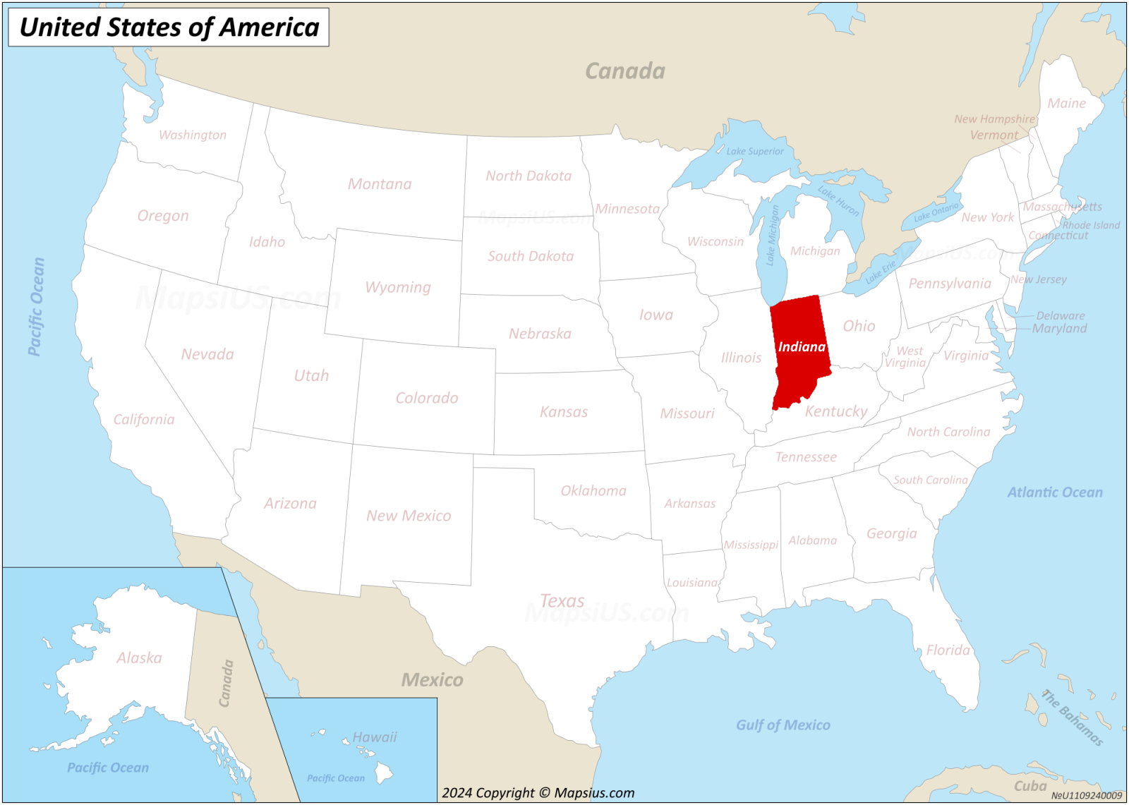
Navigating Indiana's split time zones is a daily logistical headache for anyone coordinating schedules across state or county lines. While most of the state operates on Eastern Time, twelve counties in the northwest and southwest corners observe Central Time, creating a fragmented map that catches remote workers, logistics coordinators, and clients off guard.
If you are scheduling a call between Indianapolis and Evansville, or trying to sync a meeting between Fort Wayne and Chicago-adjacent Gary, you are dealing with a one-hour time difference within a single state boundary. This setup demands careful attention to county-level geography rather than relying on state-wide assumptions.
The Map Breakdown: Which Counties Are Where?
Understanding Indiana's time zone layout starts with looking past simple state lines. The state was not always split this way, and the current boundaries are the product of decades of federal petitions, railway influence, and local commercial alignment.
The state is split unevenly between two zones governed by the U.S. Department of Transportation time zone regulations:
- Eastern Time Zone (Majority): 80 of Indiana's 92 counties observe Eastern Time (ET). This includes major economic hubs like Indianapolis, Fort Wayne, South Bend (partially), Bloomington, and Muncie.
- Central Time Zone (Minority): 12 counties observe Central Time (CT). These are split into two clusters: the northwest corner bordering the Chicago metropolitan area (including Lake, Porter, LaPorte, Newton, Jasper, and Starke counties) and the southwest corner bordering Illinois and Kentucky (including Vanderburgh, Warrick, Posey, Gibson, Spencer, and Perry counties).
This split means that traveling from South Bend (ET) to nearby Chicago (CT) crosses a time boundary, but moving from South Bend to Gary (CT) also crosses that same hour barrier, despite both being in northern Indiana.
Why Indiana Split: A Brief History of Compromise
Indiana's relationship with time zones has been contentious since Congress established standardized time zones in 1883. For decades, communities fiercely debated whether to follow solar time, railway schedules, or Eastern versus Central standards.
For much of the 20th century, the state was an uncoordinated patchwork. Some counties observed Daylight Saving Time (DST) while others did not, resulting in up to three different time variations within the state during summer months. This created chaos for television broadcasts, school schedules, and interstate commerce.
In 2006, the state officially petitioned the federal government to overhaul the map. The state moved several counties from Central to Eastern Time to foster better internal business alignment with Indianapolis, while leaving the Chicago-tied northwest and the Evansville-tied southwest on Central Time. This standardization eliminated the summer time-skipping chaos, but it cemented the permanent two-zone reality Hoosiers navigate today.
Practical Strategies for Scheduling Cross-Indiana Calls
When you're setting up a calendar invite, relying on automated time zone detection can backfire if your software assumes the entire state shares a single clock. To avoid missed meetings, use these tactical steps:
- Verify the specific city or county, not just the state. When a client writes "Indiana," don't automatically plug them into Eastern Time. Ask for their specific town or check their local office location.
- Explicitly state time zones in calendar invites. Never send an invite marked simply as "2:00 PM." Always format it as "2:00 PM ET / 1:00 PM CT" or explicitly lock in the UTC offset to prevent participant confusion.
- Build a geographic reference list for recurring partners. If your business regularly calls vendors in Evansville (Central) versus Muncie (Eastern), keep a cheat sheet on your desk or project management software.
- Account for lunch hour discrepancies. If you're coordinating team-wide check-ins, remember that a noon call in Indianapolis hits right at 11:00 AM for your colleagues in Gary or Evansville.
Common Mistakes to Avoid
Even seasoned professionals slip up when navigating regional time boundaries. Watch out for these frequent pitfalls:
- Assuming proximity equals the same zone: Towns that sit right next to each other across county lines can be in entirely different zones. Always check the exact county boundary.
- Trusting mobile device auto-detect blindly: While smartphones are generally accurate, traveling across Indiana's internal borders can occasionally cause device sync hiccups or incorrect cell tower handoffs near rural boundaries.
- Forgetting about seasonal shifts: While all of Indiana now observes Daylight Saving Time (moving forward in spring and back in autumn), the underlying one-hour offset between the state's eastern and western pockets remains constant year-round.
Frequently Asked Questions
Does all of Indiana observe Daylight Saving Time now?
Yes. Since the 2006 state-wide shift, every county in Indiana observes Daylight Saving Time. Prior to that, several counties opted out of DST, making the state's scheduling landscape even more complicated.
Which major Indiana cities are on Central Time?
Evansville, Gary, Hammond, and Merrillville are notable population centers operating on Central Time. Most other major cities, including Indianapolis, Fort Wayne, Bloomington, and Lafayette, are on Eastern Time.
Why didn't Indiana just pick one time zone for the entire state?
Economic gravity dictates the split. Northwest Indiana relies heavily on trade and commuting corridors tied to Chicago, while southwest Indiana looks toward Evansville and regional manufacturing ties. Meanwhile, central and eastern Indiana are anchored to Indianapolis and Cincinnati/Louisville markets. A single time zone would severely disadvantage commerce in one of those regions.
How can I check a county's time zone before scheduling a call?
You can cross-reference the official official time zone boundary definitions maintained by the Department of Transportation or use mapping tools that display county lines to confirm whether a specific town falls inside the eastern or western clusters.