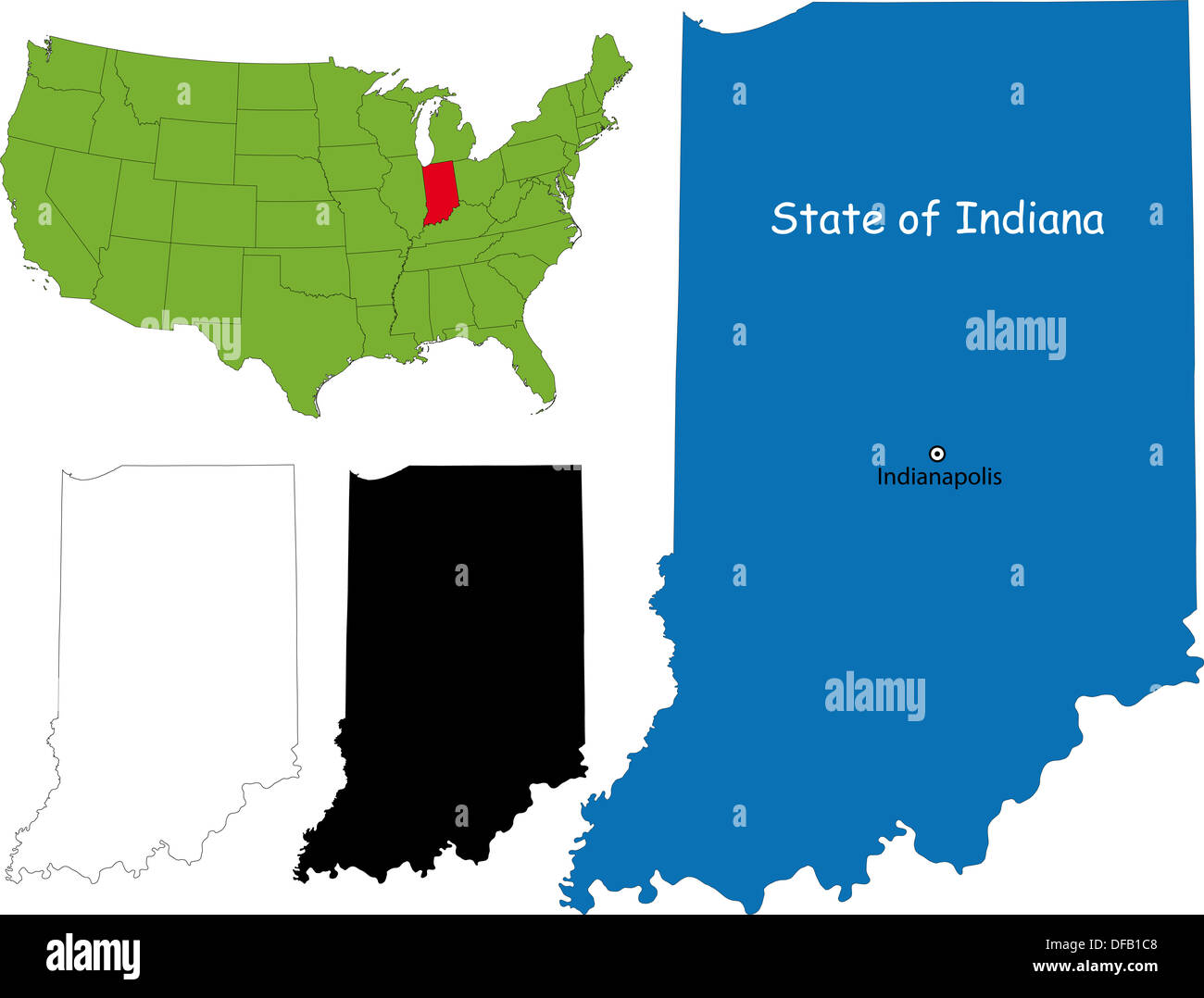
Navigating severe weather across the Hoosier State requires checking local road conditions before leaving your driveway. Weather systems can change drastically from county to county, making statewide forecasts practically useless for daily commutes. The official Indiana Department of Homeland Security county travel status tool provides real-time updates directly from local emergency management directors. Understanding how this system works keeps you out of dangerous situations and helps you avoid legal trouble on the road.
The platform categorizes road conditions using a standardized color-coded hierarchy managed locally. When winter storms, heavy floods, or straight-line winds strike, local officials update the map dynamically. Knowing what each level means allows you to make informed decisions about your commute, commercial freight routes, or road trips.
What the Indiana County Travel Advisory Levels Mean
The state uses four distinct status tiers to communicate road safety hazards. Each level carries specific recommendations or legal restrictions that drivers need to follow.
White: Caution
A white status indicates that minor weather conditions might limit or hinder travel in isolated areas. Local authorities haven't placed formal travel restrictions on the county, but you'll want to stay alert for changing conditions. This level often serves as an early heads-up when a weather front enters the region.
Yellow: Advisory
An advisory is issued when routine travel or daily activities face disruptions due to localized hazards.
- What you should do: Exercise caution, reduce your speed, and avoid high-risk areas if possible.
- Impact: Schools and local businesses often monitor this tier to start implementing their internal emergency response plans.
Orange: Watch
When conditions become genuinely threatening to public safety, counties shift to an orange watch.
- What you should do: Only essential travel is recommended. Essential trips include commuting to work or handling immediate medical emergencies.
- Impact: Employers and public agencies activate contingency operations to minimize unnecessary civilian traffic.
Red: Warning
A red warning represents the highest level of hazard severity.
- What you should do: Refrain from all travel immediately. Stay off the roadways so public works and emergency crews can clear paths.
- Impact: Travel may be restricted exclusively to emergency personnel and designated essential workers. Ignoring a red warning can lead to traffic citations or legal penalties if you require rescue.
How Local County Officials Update the Map
Unlike federal or state highway maps that rely on department of transportation plows, Indiana's advisory map relies heavily on local expertise. Each county's Emergency Management Agency (EMA) assesses ground conditions firsthand. Sheriff departments, local police, and highway superintendents feed real-time observations to the EMA director, who updates the digital map interface.
This decentralized approach explains why you might drive through a green, unrestricted county and suddenly cross into a red warning zone next door. Lake-effect snow belts in northern Indiana, rolling hills in the southern regions, and flat agricultural plains in central counties all experience weather differently. Commercial truck drivers and long-distance commuters must check individual county statuses rather than assuming uniform state conditions.
You can view the live status board directly through the Indiana DHS Travel Advisory Map or check official updates via the Indiana Department of Transportation INDOT Traffic Wise platform.
Common Weather Triggers Across Indiana
Various meteorological events trigger shifts on the advisory map throughout the calendar year. Recognizing these patterns helps you anticipate when your route might turn hazardous.
- Heavy Snow and Ice: Winter blizzards and freezing rain frequently push northern and central counties into orange and red statuses due to slick infrastructure and low visibility.
- Spring Flooding: Overflowing rivers—such as the Wabash, White, and Ohio rivers—routinely submerge rural secondary roads and low-water crossings, prompting immediate local travel restrictions.
- High Winds and Blowing Snow: Flat expanses in central and western counties make the region vulnerable to ground blizzards. Even without active snowfall, high winds pick up loose snow and reduce driver visibility to zero.
Frequently Asked Questions
Can I get a ticket for driving during a Red Travel Warning?
Yes. In many Indiana jurisdictions, a red warning carries legal weight, making non-essential travel unlawful. Law enforcement officers hold the authority to issue citations, especially if motorists ignore warnings, get stranded, and put rescue personnel at risk.
How often is the county travel map refreshed?
The platform updates dynamically around the clock during severe weather events. Because updates depend on real-time decisions made by individual county EMA directors, there is no fixed schedule. Checking the map right before you walk out the door is essential.
Does an advisory restrict commercial semi-truck traffic?
While yellow advisories and white caution levels allow commercial transit with normal care, orange watches and red warnings often prompt tighter restrictions. Commercial drivers must monitor both local county statuses and INDOT commercial vehicle restrictions to avoid prohibited routes.
Where can I call if I don't have internet access on the road?
If you're traveling and cannot load the digital map on a mobile device, you can call the state's road conditions hotline at 1-800-261-7623 for updated voice prompts regarding closures and restrictions.


