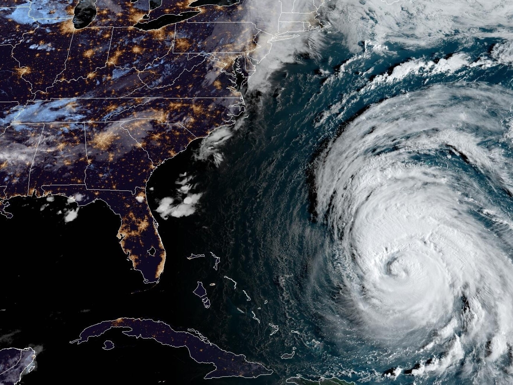
When people think of natural disasters in California, earthquakes, wildfires, and droughts immediately come to mind. Hurricanes rarely make that mental list. Yet, storms and tropical systems do reach the Golden State, stirring up fierce public debates and sensational headlines about whether a catastrophic hurricane could strike Los Angeles or San Diego. Understanding the actual hurricane risk in California requires cutting through sensationalized media reports and looking strictly at historical climate patterns, ocean physics, and meteorology.
While full-scale, devastating hurricanes rarely strike the Pacific Coast, California does experience heavy tropical moisture, severe windstorms, and remnants of tropical cyclones that bring destructive floods and localized gale-force winds. Knowing how Pacific storm systems operate helps residents separate genuine weather hazards from exaggerated fear without dismissing the real risks of intense coastal flooding and inland mudslides.
The Unique Ocean Physics of the Pacific Coast
To understand why traditional hurricanes are exceptionally rare in California, you have to look at ocean water temperatures. Hurricanes require warm ocean water—typically at least 80 degrees Fahrenheit (26.5 degrees Celsius)—stretching deep below the surface to fuel their engines. The water along the California coastline is notoriously cold, driven by the California Current, which sweeps chilled water southward from Alaska.
[Warm Air + 80°F+ Water] -> Atlantic/Gulf Hurricanes (Fueled & Intensifying)
[Warm Air + Cold Pacific Water] -> Rapid Dissipation / Extratropical Transition
This cold water acts as a natural shield. When a tropical storm or hurricane moves northward from Mexico or off the Baja California peninsula, it passes over increasingly colder water. This chilling effect strips the storm of its primary energy source, causing it to rapidly weaken and degenerate into a post-tropical cyclone or a standard heavy rainstorm before it can cross into California as a major hurricane.
Historical Precedent: The 1939 Long Beach Hurricane
The single best historical reference point for California hurricane risk is the unnamed 1939 tropical storm that struck San Pedro and Long Beach. Originally categorized as a hurricane when it was farther south, it made landfall in Southern California on September 25, 1939.
The storm caught residents and local authorities completely off guard. It brought sustained winds of 50 to 60 mph, with gusts up to 80 mph, and dropped massive amounts of rain—up to five inches in downtown Los Angeles within a few hours. The impacts were severe:
- Dozens of small boats were wrecked or driven ashore in harbors.
- Extensive agricultural damage ruined crops across Southern California valleys.
- Power lines, streetcars, and communication networks experienced widespread failures.
- Flash floods swept through low-lying residential neighborhoods, causing nearly 100 fatalities on land and at sea.
This event proved that California is not entirely immune to tropical systems. However, meteorologists emphasize that a repeat of the 1939 storm is a rare statistical anomaly, occurring perhaps once a century due to unusual atmospheric steering patterns.
Recent Near Misses: Hurricane Hilary and Post-Tropical Storms
In August 2023, Hurricane Hilary captured global attention as it moved up the Baja California peninsula and threatened Southern California as a tropical storm. Media outlets flooded feeds with dramatic warnings, causing widespread panic and emergency preparations across San Diego, Riverside, and Los Angeles counties.
While Hilary did not strike as a hurricane, it delivered historic rainfall. Death Valley recorded nearly an entire year's worth of rain in a single day, and mountain communities experienced significant flash flooding and rockslides. However, the winds remained relatively mild compared to Atlantic-basin hurricanes. Hilary highlighted that the primary hazard for California from tropical systems isn't wind destruction, but catastrophic water volume.
Similarly, remnants of systems like Hurricane Kay in 2022 and various atmospheric rivers frequently pull moisture from the Pacific tropics. These events remind forecasters that while wind damage is minimal, the threat of localized mudslides on burn scars and severe urban flooding remains high during wet seasons.
Climate Change and Future Pacific Storms
As global sea surface temperatures rise, scientists actively study whether California's coastal waters could warm enough to sustain stronger tropical systems in the future. Current climate models suggest that while ocean temperatures near Mexico and Central America are warming, the cold upwelling along the California current will largely persist, maintaining a thermal barrier.
Even if storms do not maintain hurricane status, rising global temperatures increase the moisture capacity of the atmosphere. When remnants of tropical systems do track north, they carry significantly more water vapor. This means future storms could drop heavier, more intense rainfall over compressed timeframes, increasing flash flood risks even if wind speeds remain modest.
How to Prepare for California Tropical Storms
Even though a Category 3 hurricane is not a daily threat in California, emergency management agencies urge residents to prepare for severe tropical moisture and high-wind events. Preparing for a tropical storm follows the same basic steps as preparing for severe winter storms or atmospheric rivers:
- Clear Drainage Paths: Clean out gutters, storm drains, and downspouts around your property well before the rainy season begins to prevent localized urban flooding.
- Secure Outdoor Objects: High winds from passing storms can pick up patio furniture, potted plants, and unsecured trash bins. Tie down or bring inside anything that could become a projectile.
- Monitor Local Alerts: Pay close attention to National Weather Service (NWS) watches and warnings rather than sensationalized social media posts. The NWS provides precise, localized data for flash floods and high wind warnings.
- Emergency Kit Basics: Keep at least three days of non-perishable food, bottled water, flashlights, extra batteries, and first-aid supplies on hand for power outages.
For official updates and emergency planning guides, consult resources provided by Ready.gov or local county emergency services.
Frequently Asked Questions
Can a major Category 3 or 5 hurricane hit San Francisco or Los Angeles?
Meteorologically, it is nearly impossible. The cold water temperatures off the California coast and prevailing wind shear tear apart high-intensity tropical systems before they can reach the state with major hurricane-force winds.
What is the biggest danger when tropical storms hit California?
Water is the primary hazard. Catastrophic flash flooding, severe mudslides in recent wildfire burn scars, and localized urban street flooding cause far more damage and danger than high winds.
How often do tropical storms reach California?
Direct impacts from tropical systems are rare, happening roughly once every few decades, though remnants of Baja California storms bring heavy moisture to the region every few years.
Are building codes in California designed for hurricanes?
California building codes are built primarily to withstand high-magnitude earthquakes and standard wind loads. While they aren't engineered specifically for Atlantic-style hurricane landfalls, modern construction easily handles the 40 to 60 mph wind gusts typical of Pacific tropical remnants.



