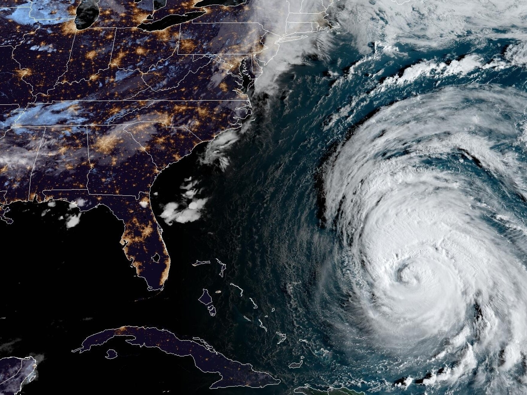
In August 2017, Hurricane Harvey stalled directly over Southeast Texas, dropping historic rainfall totals that turned America's fourth-largest city into an inland lake. The storm dumped over 60 inches of rain in some areas, inundating more than 300,000 structures, displacing tens of thousands of residents, and causing over $125 billion in damage. Beyond the immediate tragedy, the disaster laid bare the fragile realities of building a sprawling metropolis across a low-lying coastal prairie. Understanding how Houston flooded requires looking past the meteorology into the mechanics of urban growth, infrastructure capacity, and the hard choices facing modern flood-prone cities.
Meteorological Mechanics: Why Harvey Stalled
Tropical cyclones typically move inland, drop heavy rainfall for a day or two, and dissipate. Harvey broke this rule through a unique atmospheric trap. After making landfall near Rockport, Texas, as a Category 4 storm on August 25, the system lost its steering currents. A high-pressure ridge to the north locked the storm in place, while a continuous feed of unusually warm Gulf of Mexico moisture fueled a nearly endless cycle of torrential downpours.
This stationary positioning created the "brown ocean" effect. Instead of weakening over land, the system maintained its tropical characteristics while hovering just inland and over the shallow shelf of the Gulf. Bands of intense rainfall repeatedly trained over the exact same neighborhoods for days. The National Weather Service had to add new colors to its rainfall measurement maps to capture totals exceeding five feet. For Houston, this meant enduring weeks' worth of typical rainfall in a matter of 72 hours.
Infrastructure Under Pressure: Bayou and Reservoirs
Houston relies on an intricate, sprawling system of natural bayous, concrete-lined drainage channels, and federally managed flood control reservoirs. Built largely in the mid-20th century, this infrastructure was engineered to handle standard severe weather events, not an unmapped meteorological anomaly like Harvey.
As the rain intensified, the city's primary waterways—including Buffalo Bayou, Brays Bayou, and White Oak Bayou—exceeded their banks rapidly. When retention basins filled to the brim, engineers faced impossible operational choices. To prevent catastrophic structural failures of the earthen dams at the Addicks and Barker reservoirs, authorities had to execute controlled releases. These releases flooded thousands of additional homes upstream and downstream that had previously escaped direct stormwater inundation.
- Gravity Drainage Failure: Much of Houston's drainage relies on gravity to move water toward the Gulf of Mexico. When storm surges blocked outflows and local sea levels rose, the drainage network backed up, forcing water backward out of manholes and storm drains.
- Impermeable Surfaces: Decades of rapid urban expansion paved over natural wetlands and coastal prairies. These ecosystems once acted as massive sponges; concrete surfaces replaced them, accelerating runoff speeds and overwhelming local channels.
The Human and Economic Toll
The disaster's human cost unfolded in real-time across national broadcasts. More than 30,000 people required emergency shelter, while rescue teams in flat-bottom boats, kayaks, and high-water military vehicles pulled residents from rooftops and attics. Harris County recorded at least 68 direct storm-related fatalities, alongside dozens of indirect deaths stemming from medical interruptions and rescue complications.
Economically, the region absorbed a massive blow. The Port of Houston shut down for weeks, disrupting global supply chains for petrochemicals, energy exports, and manufactured goods. Refineries across the Texas Gulf Coast idled operations, triggering temporary national fuel shortages and price spikes. Thousands of small businesses suffered catastrophic inventory loss, and many never reopened their doors.
Urban Planning and Zoning Realities
Houston's historical lack of traditional municipal zoning is frequently cited in popular media as a primary cause of its flood vulnerability. However, urban planners point out that zoning alone does not prevent floods. Houston relied instead on strict development codes, building ordinances, and private deed restrictions.
The core issue lay in lax historical wetland preservation and outdated flood maps. For decades, developers built subdivisions directly within 100-year and 500-year floodplains without fully accounting for the compounding effects of land subsidence (ground sinking due to groundwater withdrawal) and accelerating climate volatility. When massive rain events occurred, older detention requirements proved inadequate for the sheer volume of impervious asphalt and roofing.
Lessons Learned and Post-Harvey Reforms
In the years following Harvey, local and state agencies launched major overhauls of Houston's flood mitigation strategy. The Harris County Flood Control District passed a historic $2.5 billion bond election to fund drainage improvements, channel widenings, and property buyouts in high-risk zones.
- Elevated Building Standards: Harris County updated its regulations to require new residential construction to sit two feet above the 500-year flood level, a significant increase from older standards.
- Voluntary Buyout Programs: Local governments scaled up buyouts, purchasing repeatedly flooded homes in low-lying areas and converting those parcels back into permanent open green spaces and detention basins.
- Regional Coordination: Watershed management shifted from isolated municipal responses toward a coordinated, county-wide approach that recognizes water does not stop at city limits.
Despite these investments, challenges persist. Development pressure remains intense across the Texas Triangle, and many lower-income communities still struggle with aging neighborhood drainage systems that take longer to upgrade than wealthier commercial corridors.
Frequently Asked Questions
Why didn't Houston officials order a mandatory city-wide evacuation before Harvey?
Mandatory evacuations are typically reserved for wind-driven threats like hurricanes threatening coastal barrier islands (such as Hurricane Rita in 2005). Because Harvey's primary threat was inland flash flooding distributed unevenly across a massive geographic footprint, a mass evacuation of millions of people would have trapped vehicles on flooded highways, putting thousands of lives at greater risk.
What is the Addicks and Barker reservoir system?
Constructed by the U.S. Army Corps of Engineers in the 1940s, these two large earthen reservoirs sit west of downtown Houston. Their purpose is to temporarily hold floodwaters away from the central business district and release them slowly down Buffalo Bayou. During Harvey, both reservoirs filled to historic levels, threatening surrounding neighborhoods.
How has Houston's building code changed since 2017?
New residential and commercial structures must build to higher elevations based on updated, more realistic floodplain maps. Builders must also ensure that new developments do not increase net runoff into neighboring properties, requiring larger on-site detention basins.
Are similar floods likely to happen again in Houston?
Climate scientists indicate that a warmer atmosphere holds significantly more moisture, increasing the frequency and intensity of extreme precipitation events. While engineering projects reduce risk for moderate storms, a repeat of Harvey's exact meteorological stall would test even the upgraded infrastructure.


