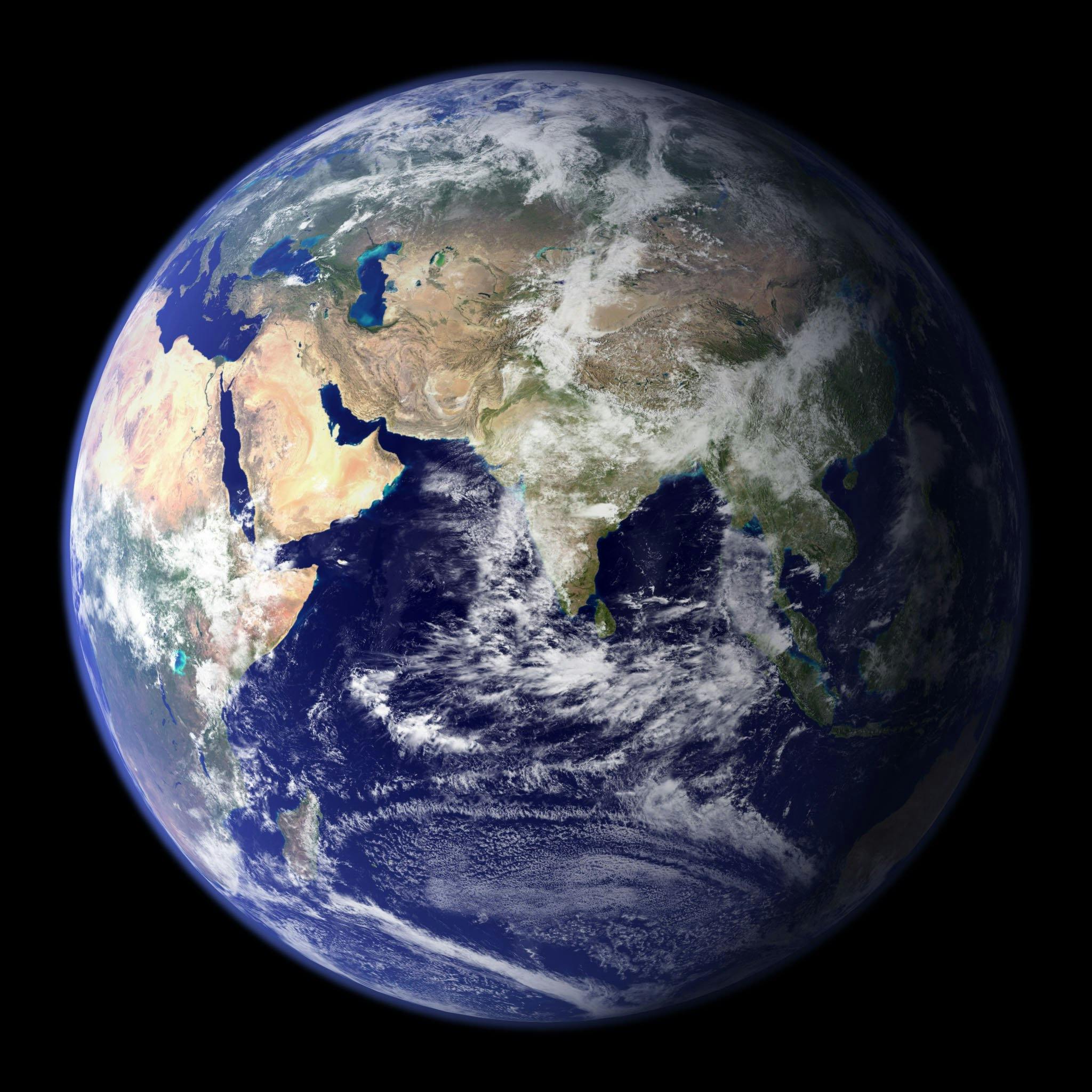
How many continents are there? The answer depends entirely on whether you follow cultural tradition, political boundaries, or strict geological plates. While most English-speaking educational systems teach that there are seven continents, geographers and earth scientists recognize anywhere from four to seven distinct models. There is no single physical definition of a continent, which is why this enduring geographical question lacks a single universal answer.
To understand why the count shifts from four to seven, we have to look past simple grade-school maps and examine how different cultures divide the Earth's continuous landmasses. Physical geography looks at tectonic plates and oceans, while historical and cultural conventions often dictate whether regions like Europe and Asia are treated as separate entities or parts of a single massive landmass.
The Four Major Continent Models Explained
Because humanity lacks an absolute scientific rule for what constitutes a continent, geographers group landmasses using several standard models. Each model reflects a different way of balancing physical boundaries with human history.
The Seven-Continent Model
This is the most common model taught in English-speaking countries, China, and parts of Western Europe. It splits the Earth into Asia, Africa, North America, South America, Antarctica, Europe, and Australia (often referred to broadly as Oceania).
In this system, Europe and Asia are treated as separate continents despite sitting on the same continuous landmass, driven largely by cultural, linguistic, and historical distinctions. North and South America are also split because they were historically viewed as separate landmasses before being joined by the narrow Isthmus of Panama.
The Six-Continent Combined-America Model
Widely used in Latin America, Spain, Portugal, France, Greece, and parts of Eastern Europe, this model combines North and South America into a single continent simply called America. This reflects a historical view of the Western Hemisphere as a unified geographical discovery. Under this model, the total count drops to six: Eurasia (or Europe and Asia separate, depending on the variant), Africa, America, Antarctica, and Australia/Oceania.
The Six-Continent Eurasia Model
Another six-continent variation combines Europe and Asia into a single landmass called Eurasia, acknowledging the undeniable geological reality that they share a single tectonic plate and unbroken land border. The remaining five continents in this system are Africa, North America, South America, Antarctica, and Australia. This model is frequently favored by geologists and physical geographers who prioritize tectonic reality over political borders.
The Four-Continent Mega-Model
If you strip away human history and look strictly at continuous bodies of land surrounded by major oceans, you arrive at the four-continent model. In this framework, the Earth consists of:
- Afro-Eurasia: Africa, Europe, and Asia joined into one massive contiguous landmass.
- America: North and South America combined.
- Antarctica: Isolated at the southern pole.
- Australia/Oceania: The island continent surrounded by the Indian and Pacific oceans.
According to the National Geographic Society, this physical grouping aligns most closely with how continental landmasses actually form distinct physical islands on the globe.
Why Europe and Asia Are Split Geopolitically
The division of Eurasia into Europe and Asia is perhaps the most prominent example of culture overriding physical geography. Geologically, Europe is essentially a large western peninsula of the massive Eurasian landmass.
Historically, ancient Greeks divided the world into Europe, Asia, and Libya (Africa) based on navigation and cultural orientation around the Mediterranean Sea. The dividing line between Europe and Asia has shifted over centuries, eventually settling along the Ural Mountains, the Ural River, the Caspian Sea, the Caucasus Mountains, and the Black Sea. This boundary is entirely arbitrary in geological terms, serving administrative and cultural purposes rather than tectonic ones.
The Case of Zealandia: Earth's Hidden Eighth Continent
While traditional models cap the count at seven, earth scientists formally recognized a submerged landmass known as Zealandia (Te Riu-a-Māui in Māori) as Earth's eighth continent.
Roughly 94% of Zealandia is submerged beneath the Pacific Ocean, with New Zealand and New Caledonia forming its primary visible peaks. Geologically, it meets every scientific criterion for a continent: elevated land above the surrounding oceanic crust, distinct rock types, and a thick, non-oceanic crustal structure. While it isn't taught in standard primary school atlases as a conventional continent, it demonstrates how dynamic our understanding of the planet's structure remains.
Common Misconceptions About Continents
People often confuse tectonic plates with continents, or assume that island nations must be neatly categorized. Clearing up these errors helps explain why global maps vary so widely.
- Tectonic plates are not continents: The Earth's crust is broken into dozens of tectonic plates (such as the Nazca Plate or the Pacific Plate), which do not match continental boundaries. For instance, North America sits atop both the North American plate and parts of the Pacific plate.
- Australia is both a country and a continent: Australia is unique because it is simultaneously a sovereign nation and the core landmass of the geographic region known as Oceania.
- Islands belong to nearby continents: Greenland is the world's largest island, geographically part of the North America continent shelf, even though politically it is an autonomous territory associated with Denmark.
Frequently Asked Questions
Is Oceania a continent or a region?
Strictly speaking, Oceania is a geographical region that encompasses Australia, New Zealand, Papua New Guinea, and thousands of Pacific island nations across Micronesia, Melanesia, and Polynesia. However, Australia is so massive that it is commonly referred to as a continent in the traditional seven-continent model.
How do different countries teach the number of continents?
English-speaking nations typically teach seven continents. Latin American countries and parts of southern Europe teach six continents with a combined America. Parts of Eastern Europe and Russia historically favor the six-continent model featuring Eurasia.
What is the smallest continent by land area?
Australia (or Oceania) is universally recognized as the smallest continent on Earth, spanning roughly 8.5 million square kilometers.
Why isn't Antarctica considered a country?
Antarctica has no permanent native population, government, or sovereign nations. Instead, it is governed internationally by the Antarctic Treaty System, which designates the continent entirely for scientific research and peaceful purposes.



