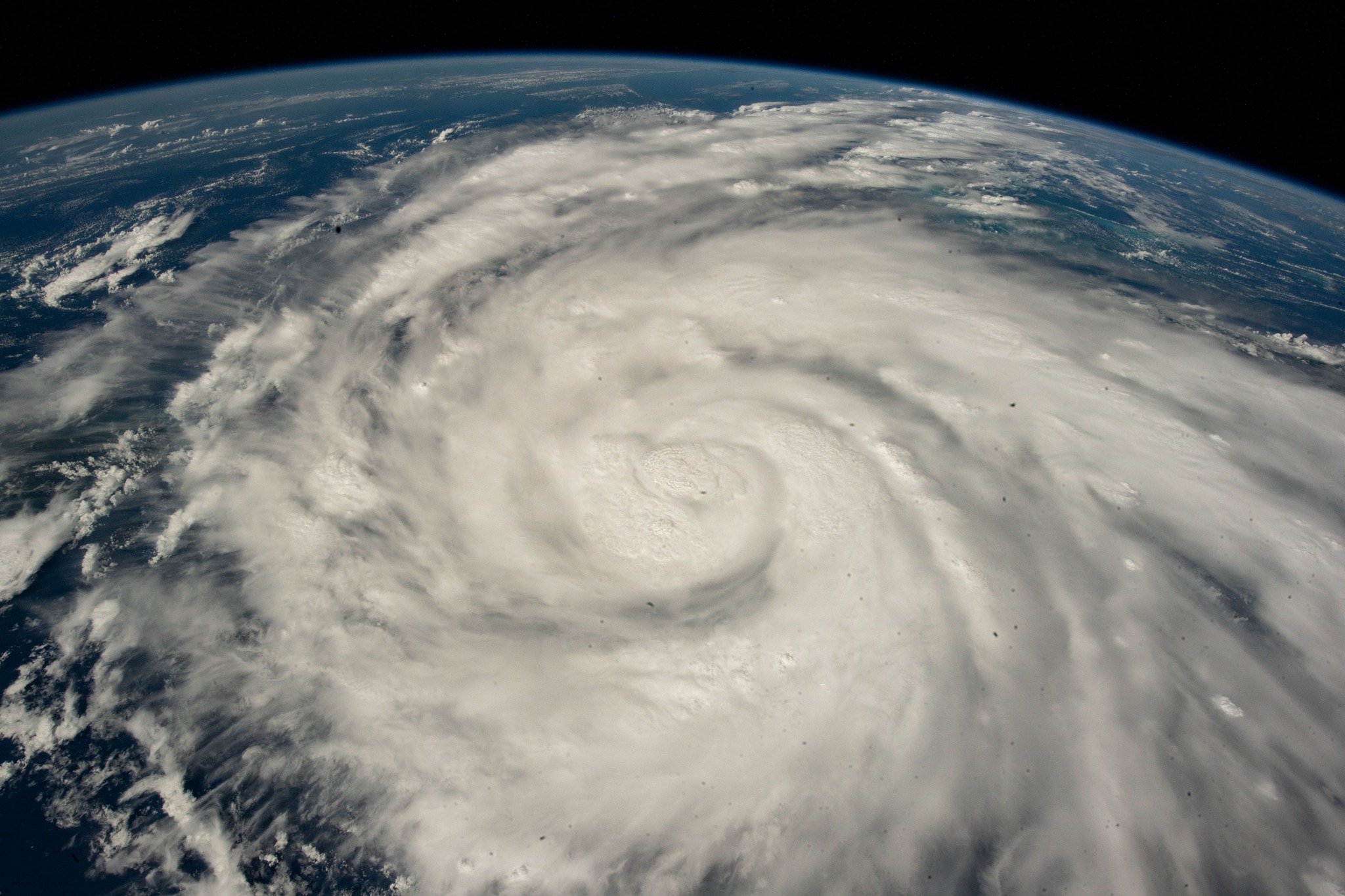
When a major tropical system targets the Texas Gulf Coast, knowing exactly how to get out safely makes all the difference. Houston's sprawling highway network can quickly turn into a bottleneck if you don't plan your path ahead of time. Understanding official evacuation corridors, contraflow plans, and local zones helps you bypass gridlock when local officials issue mandatory orders.
Local emergency management groups categorize evacuations primarily by storm surge risk rather than wind speed alone. If you live in a low-lying coastal zone or a designated flood-prone pocket, you need to track local advisories from ReadyHarris and review official state highway protocols via TxDOT Hurricane Preparation.
Understanding Houston Evacuation Zones
Houston and surrounding Harris County utilize zip-code-based zone systems to manage orderly departures. Instead of letting millions of residents flood the interstate system at once, emergency managers call for evacuations by specific zones based on storm surge forecasts.
Storm surge remains the most lethal threat during a landfalling tropical system. If your home sits inside a designated coastal zone, local authorities will issue a mandatory evacuation order.
- Zone A: Areas most vulnerable to storm surge, including coastal communities and low-lying regions near Galveston Bay and major bayous, requiring immediate evacuation when ordered.
- Zone B: Slightly higher elevations that face inundation from stronger storm categories or severe rainfall accumulation.
- Zone C and beyond: Inland areas generally safe from surge, which are instructed to shelter-in-place unless structural safety or severe flooding threatens their homes.
Don't evacuate hundreds of miles inland unless you have family or a designated safe lodging option far away. Often, moving just a few dozen miles out of the surge zone or flood basin is enough to keep your household safe. You can check your specific status using the Houston-Galveston Area Council planning tools.
Major Houston Evacuation Highways
When a regional evacuation is ordered, specific interstate highways serve as primary outbound routes. Traffic control points and emergency response teams monitor these corridors around the clock.
- Interstate 45 (I-45): The primary north-south artery moving traffic from Galveston and southern Harris County toward Huntsville, Dallas, and North Texas.
- Interstate 10 (I-10): Runs east-west, directing evacuees west toward San Antonio or east toward Beaumont, depending on the storm's trajectory.
- U.S. Highway 290 (US-290): Connects northwest Houston toward Austin and Central Texas.
- U.S. Highway 59 / Interstate 69 (US-59 / I-69): Channels northeast traffic toward Cleveland, Lufkin, and East Texas.
Keep paper maps or downloaded offline navigation apps in your vehicle. Cell towers frequently lose power or become overwhelmed during severe weather events, making real-time digital routing unreliable.
How Contraflow Lanes Work
During massive regional evacuations, the Texas Department of Transportation implements contraflow lanes on major freeways. Contraflow reverses inbound lanes so that all lanes flow outward away from the coast.
- Active corridors: Contraflow operations can be activated on I-45, I-10, US-290, and US-59.
- Access points: You cannot simply enter a contraflow lane from any standard entrance ramp. You must enter at designated transition points managed by state troopers and emergency personnel.
- Exits: Once you enter a contraflow lane, you will have limited opportunities to exit until you reach designated termination points far inland. Make sure your vehicle has plenty of fuel before entering these stretches.
Monitor real-time updates and active contraflow statuses using Houston TranStar before heading out on the road.
Common Evacuation Mistakes to Avoid
Panic and poor preparation lead to stalled vehicles, empty fuel tanks, and dangerous highway delays. Avoiding common errors keeps your family moving forward.
- Waiting until the last minute: Evacuating after a mandatory order is already underway causes you to sit on gridlocked interstates while storm bands arrive. Leave early if you are in a vulnerable zone.
- Ignoring fuel levels: Keep your vehicle's fuel tank at least half full during hurricane season. When a storm approaches, gas stations along evacuation routes often run out of fuel or lose power.
- Failing to pack emergency supplies: Pack enough drinking water, non-perishable food, vital medications, and pet supplies for at least three days. Traffic delays can turn a normal two-hour drive into a twelve-hour ordeal.
- Traveling without alternative routes: Stalled accidents block major lanes quickly. Identify secondary state highways and local backroads that run parallel to the major interstates.
Frequently Asked Questions
Should I evacuate for every hurricane?
No. You should only evacuate if you live in a designated storm surge zone, a mobile home, or a structurally unsafe building, or if local authorities issue a mandatory order for your area. For most inland residents, sheltering in place is safer than sitting on a gridlocked highway.
How do I know which evacuation zone I am in?
You can look up your address or zip code on official regional portals like ReadyHarris or the Houston-Galveston Area Council website. Keep a printed copy of your zone map in your emergency binder.
Are pets allowed in emergency shelters?
Traditional emergency shelters operated by the American Red Cross typically do not accept pets due to health regulations, though service animals are always permitted. Identify pet-friendly hotels inland or local animal shelters with emergency sheltering protocols before a storm hits.
What should I do if my car runs out of gas on an evacuation route?
Stay with your vehicle if it is safe to do so. Law enforcement and TxDOT courtesy patrols monitor major evacuation corridors to assist stranded motorists, clear debris, and provide emergency fuel.



