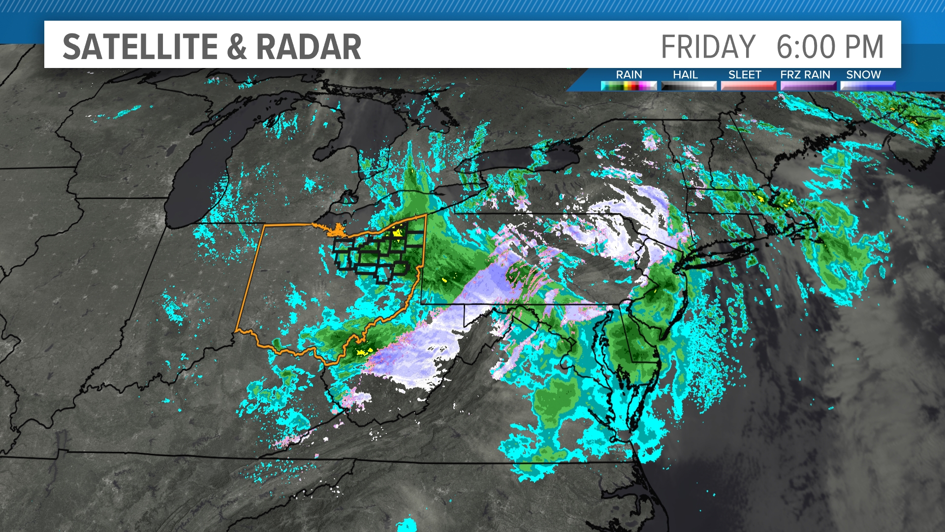
Geographic Information Systems (GIS) have moved far beyond municipal offices and utility companies to become core pillars of modern academic research and teaching. Universities now use spatial technology across traditional silos, linking environmental science, public health, history, and digital humanities to real-world coordinates. This shift changes how students analyze data and how researchers model complex spatial problems.
Academic institutions adopt spatial tools because standard spreadsheets and flat texts can't capture physical context. When researchers map historical migration patterns or model urban heat islands, they require software that links raw attribute data to specific geographic points. Understanding this transition requires looking at how universities integrate mapping technology into curricula, labs, and cross-disciplinary studies.
Core Drivers of GIS Adoption in Higher Education
Universities face pressure to provide hands-on technical skills that match industry standards. GIS software meets this demand by bridging theoretical models with empirical mapping. Students don't just read about demographic shifts; they manipulate layers of census data, satellite imagery, and environmental sensors to visualize change over time.
This analytical shift relies on two main components: spatial data and attribute tables. Spatial data provides the geometric location of features like buildings, rivers, or administrative boundaries, while attribute tables store qualitative and quantitative facts about those features. Combining these layers allows researchers to run queries that answer complex spatial questions. For example, a public health lab can overlay hospital locations with median income data and transit routes to measure healthcare access barriers.
- Interdisciplinary Reach: Spatial analysis extends into humanities, where researchers map textual records from ancient texts to track trade routes and cultural exchanges.
- Workforce Readiness: Employers across environmental consulting, urban planning, and logistics expect graduates to possess foundational spatial literacy.
- Advanced Visualizations: Complex statistical outputs become clear, actionable maps that communicate findings effectively to non-technical stakeholders.
Transforming Classroom Teaching and Student Research
Classrooms have shifted from static lectures to active spatial laboratories. Instructors use web-based mapping platforms to let students interact directly with spatial variables during seminars. In geography and environmental science departments, students build custom models to track deforestation rates or watershed health using open-source tools like QGIS.
Undergraduate research experiences benefit significantly from this accessibility. Students can pull open data repositories from government portals, load them into a mapping workspace, and complete independent spatial analyses within a single semester. This hands-on inquiry fosters critical thinking about data integrity, coordinate systems, and spatial bias.
Overcoming Technical Hurdles in Labs
Implementing campus-wide spatial software presents distinct administrative and technical challenges. Maintaining up-to-date software licenses, providing adequate cloud storage for massive raster datasets, and training faculty members from non-technical backgrounds require coordinated institutional planning. Successful universities establish dedicated spatial data labs supported by specialized GIS librarians who assist students and researchers with data wrangling and troubleshooting.
Real-World Applications Across Academic Disciplines
The utility of spatial software extends across multiple faculties, creating natural points of collaboration between traditionally isolated departments.
Environmental Science and Ecology
Researchers track biodiversity loss, monitor invasive species spread, and model climate change impacts on local ecosystems. By combining field sensor data with satellite imagery, ecology students can measure canopy health or track wildlife migration corridors in real time.
Public Health and Epidemiology
During disease outbreaks, public health researchers map infection clusters relative to population density, water sources, and transit networks. This spatial tracking helps local health agencies allocate testing and vaccination resources efficiently. According to the Centers for Disease Control and Prevention, spatial tracking remains a cornerstone of modern epidemiological investigation.
Digital Humanities and History
Historians use spatial platforms to reconstruct past landscapes. By georeferencing historical maps and combining them with census records, scholars visualize urban growth, segregation patterns, and economic shifts across centuries. This spatial turn allows students to interact with historical data dynamically rather than reading about it in linear text.
Common Pitfalls in Academic GIS Integration
Institutions and students frequently encounter specific roadblocks when adopting spatial technologies. Recognizing these errors helps maintain data accuracy and research integrity.
- Ignoring Coordinate System Mismatches: Combining datasets with different projections causes spatial misalignment. Researchers must verify that all layers share a unified coordinate reference system before running spatial queries.
- Overlooking Data Metadata: Using datasets without checking collection dates or methodology leads to flawed conclusions. Students must evaluate the provenance of every spatial layer.
- Treating Maps as Absolute Truth: A map offers a visual argument, not an objective reality. Poorly chosen classification breaks or color ramps can mislead viewers about the underlying data distribution.
Frequently Asked Questions
What foundational skills do students need before learning GIS?
Basic data literacy, familiarity with spreadsheet management, and a grasp of fundamental cartographic concepts like scale and direction provide a strong starting point. Advanced coding skills in Python or R help later when automating spatial workflows.
Are open-source tools sufficient for university research?
Yes. Platforms like QGIS and web-based mapping libraries offer robust functionality that rivals commercial software, making spatial analysis accessible without high licensing costs.
How does spatial analysis differ from standard data analysis?
Spatial analysis incorporates geographic location and spatial relationships—such as proximity, adjacency, and clustering—into statistical evaluations, whereas standard data analysis treats observations as independent points.
Why are GIS labs moving to cloud-based environments?
Cloud platforms eliminate the hardware bottlenecks associated with local desktop installations, allowing students and researchers to process large spatial datasets from standard laptops.