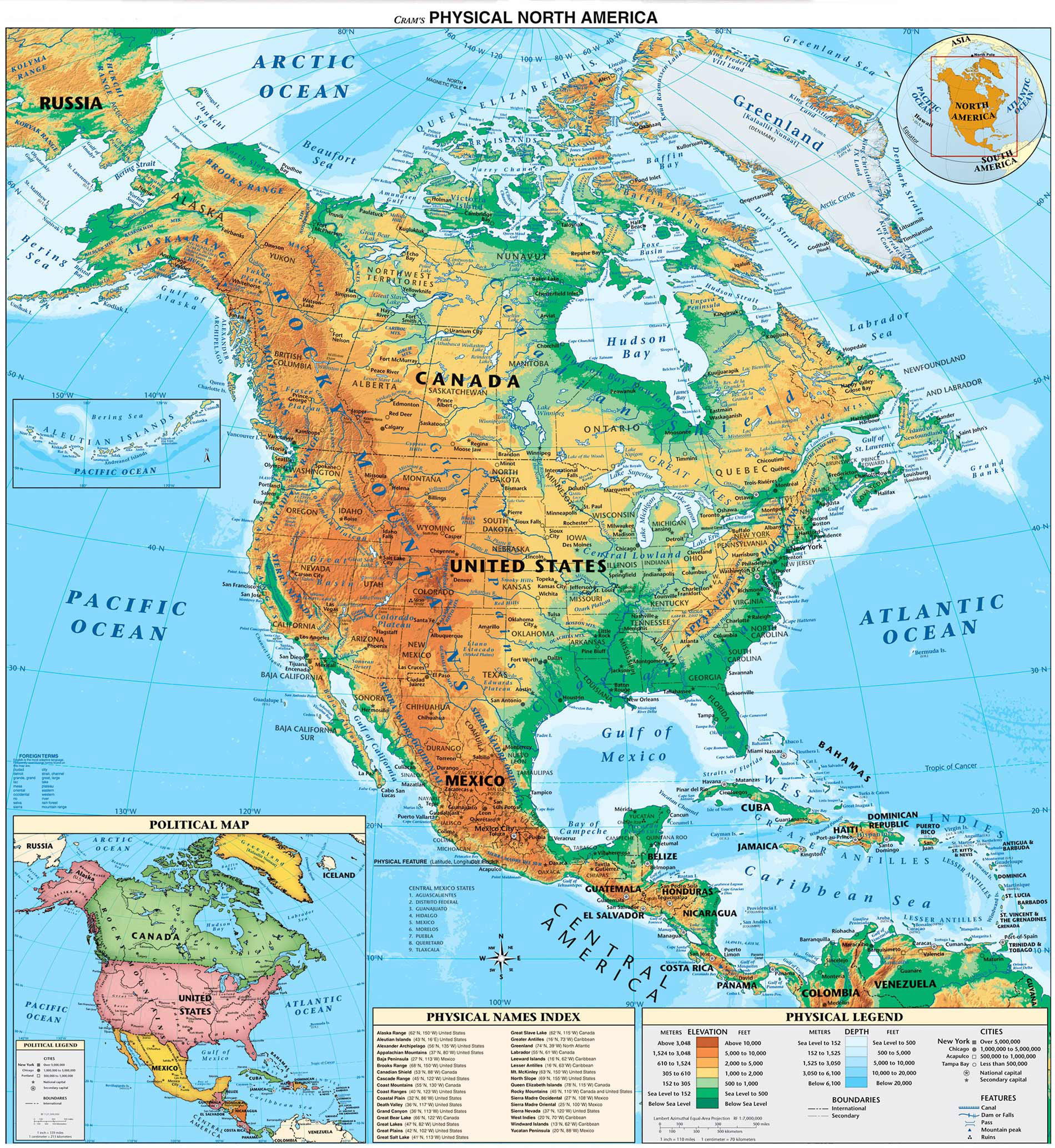
Long before European explorers crossed the Atlantic, human populations walked across landscapes that looked completely different from today's world. For generations, school textbooks taught a simple narrative about human arrival in the New World. That story centered on the Clovis culture, placing the earliest human presence at roughly 13,000 years ago. Modern archaeological discoveries, genetic mapping, and ancient footprint analysis have completely upended that timeline, pushing the date of human arrival back by tens of thousands of years.
The question of when humans first reached the Americas isn't answered by a single date or a single migration wave. Instead, it involves multiple prehistoric populations navigating massive ice sheets, ancient coastlines, and changing climates long before the dawn of recorded history.
The Collapse of the Clovis-First Paradigm
For most of the twentieth century, the "Clovis-first" model dominated archaeological thinking. Named after distinctive stone spear points found near Clovis, New Mexico, this theory argued that small bands of hunters crossed the Bering Land Bridge—known as Beringia—from Siberia into Alaska. According to this older model, these travelers waited for an ice-free corridor to open up between the Laurentide and Cordilleran ice sheets, allowing them to sweep down into the heart of North America around 13,000 years ago.
This framework began to unravel as archaeologists found undisputed pre-Clovis sites. Locations like Monte Verde in Chile showed human occupation dating back at least 14,500 years—older than the opening of the interior ice-free corridor. If people were already living deep in South America by that time, they must have arrived much earlier, or traveled via an alternate route.
Further proof arrived from unexpected places, including deeply stratified rock shelters and river bottoms. Sites like Page-Ladson in Florida and various coastal excavations in North and South America demonstrated that human presence predated the Clovis culture by millennia.
The White Sands Footprints and Deep Antiquity
The most dramatic shift in the timeline came from White Sands National Park in New Mexico. Here, researchers discovered fossilized human footprints preserved in the layers of an ancient dried-up ice age lake bed.
By using radiocarbon dating on layers of aquatic seeds and ancient mud trapped above and below the tracks, scientists determined that humans walked across the Tularosa Basin between 21,000 and 23,000 years ago. These dates place human activity squarely during the Last Glacial Maximum, a time when massive ice sheets covered much of North America.
This discovery fundamentally changed how researchers view the peopling of the Americas:
- Humans lived south of the great ice sheets during the peak of the last ice age, proving that people inhabited the continent long before interior corridors opened.
- The tracks show daily life, including footprints left by children and teenagers playing alongside the tracks of extinct megafauna like mammoths and giant ground sloths.
- Multiple independent laboratories analyzing different materials, including seeds, pollen, and mud, have consistently verified the deep antiquity of these sites.
The Coastal Migration Route
With interior land routes blocked by immense ice sheets during the Last Glacial Maximum, how did these early groups travel so far south so early? The answer lies in the Pacific Rim.
The "kelp highway" hypothesis suggests that early maritime groups traveled southward by boat or on foot along the exposed continental shelf of the Pacific coastline. During the ice age, global sea levels were significantly lower, exposing a narrow coastal strip rich in marine resources, fish, and kelp forests.
This coastal migration route offered several distinct advantages over an interior trek:
- The ocean provided a continuous, abundant supply of food, including shellfish, fish, and marine mammals, removing the need to rely solely on land hunting.
- Deglaciation happened earlier along the Pacific coast than in the continental interior, creating habitable pockets and landing spots thousands of years before the inland corridor cleared.
- Travel by water or shore allowed small groups to move rapidly down the coast of modern-day Alaska, British Columbia, and down into California and South America.
The primary challenge in verifying coastal migration is modern geography. As the ice sheets melted, sea levels rose by hundreds of feet, submerging the very campsites, tools, and hearths that these coastal travelers left behind. Marine archaeologists now use sonar and offshore coring to search the submerged continental shelf for evidence of these early maritime passages.
Genetic Evidence and Ancestry
Modern genetics provides a clear window into who these early explorers were. DNA extracted from ancient human remains—such as the Anzick-1 infant in Montana and other samples across North and South America—shows deep genetic links to indigenous Siberian and East Asian populations.
Genetic studies indicate that the ancestors of Native Americans spent a period of isolation in Beringia during the height of the ice age. This genetic bottleneck allowed unique lineages to form before populations expanded rapidly into the Americas.
DNA also reveals that human arrival wasn't a single monolithic event. Instead, it occurred in multiple waves and complex population blending events over thousands of years, creating a diverse genetic tapestry that predates recorded history by millennia.
For broader context on how archaeological timelines are established and verified, you can read more about scientific dating methods through the Smithsonian Institution or review ongoing research updates provided by the National Park Service.
Common Mistakes in Understanding Early American History
When exploring the history of human arrival in the Western Hemisphere, several common misconceptions often cloud the facts:
- Assuming Christopher Columbus discovered America: Columbus arrived in the Caribbean in 1492, but millions of Indigenous peoples had inhabited the Americas for at least two decades of millennia prior.
- Treating pre-history as a single migration: Many assume a single group walked across a land bridge once; genetic and archaeological data show repeated movements over thousands of years.
- Assuming ice sheets completely blocked all movement: While the interior was impassable, the Pacific coastline remained a viable migratory highway during periods when ice choked the mainland.
- Relying solely on stone tools: Early archaeologists dismissed sites that lacked specific tool types like Clovis points, missing organic artifacts, footprints, and bone evidence.
Frequently Asked Questions
How did the first people get to America?
They arrived via Beringia, the land bridge connecting modern-day Siberia and Alaska, traveling either down the Pacific coastline by water or through interior routes when conditions allowed.
Are the White Sands footprints accepted by all scientists?
While initial discoveries sparked healthy academic debate, subsequent studies using multiple independent laboratories to date seeds, pollen, and sediment layers have consistently reinforced the 21,000 to 23,000-year timeline.
Why was the Clovis-first theory accepted for so long?
Early twentieth-century archaeologists found widespread, easily identifiable fluted projectile points across North America with consistent dating around 13,000 years ago, and few deep excavations had been conducted to look for older layers.
Did humans wipe out the mammoths in the Americas?
Early human arrival coincided with the extinction of North American megafauna, but research suggests a combination of rapid climate change at the end of the ice age and human hunting pressures drove these extinctions.



