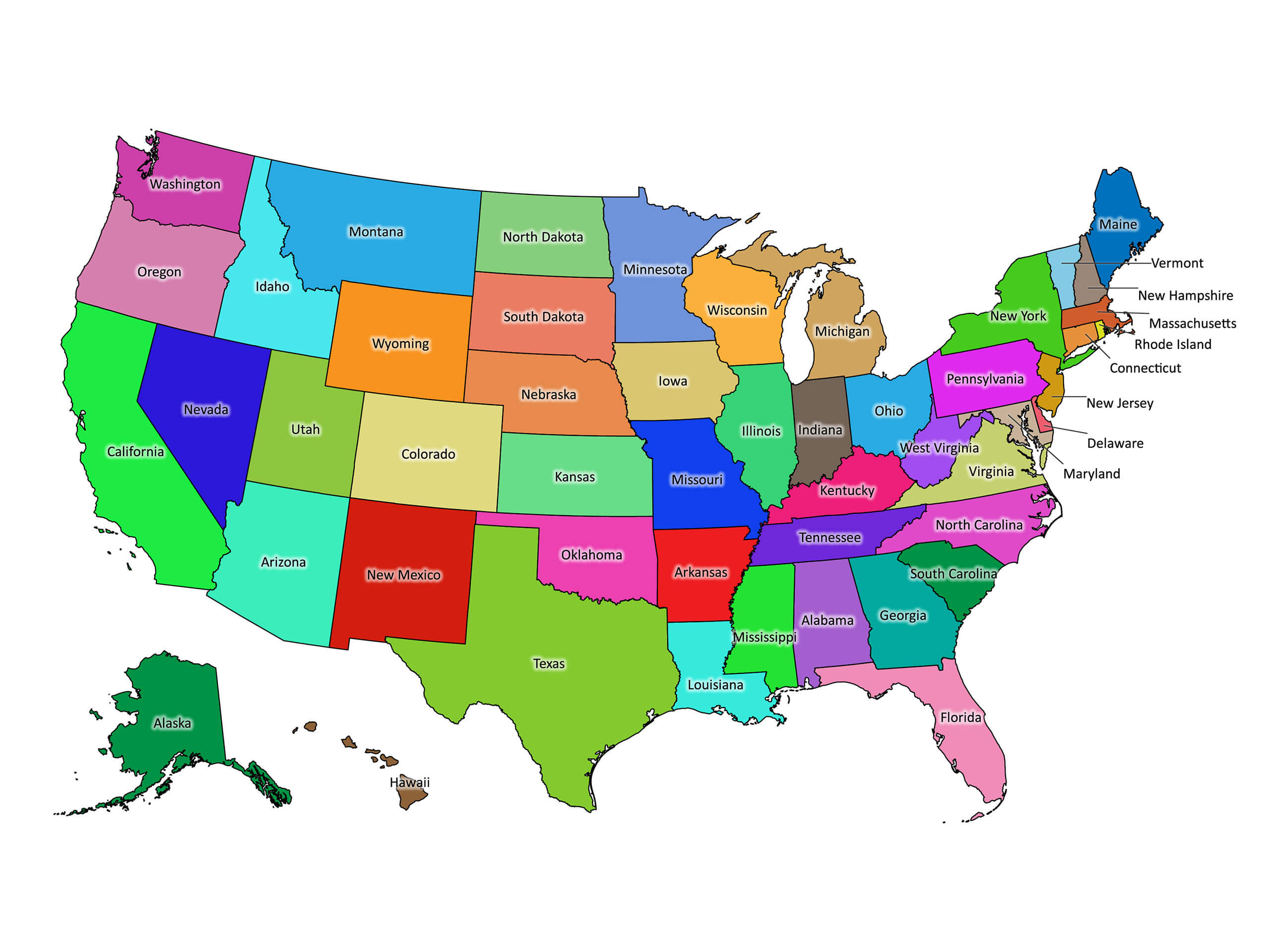
When people talk about the East Coast of the United States, they're referring to the string of states that border the Atlantic Ocean. Exactly 14 states make up this eastern seaboard, stretching from the rocky shores of Maine down to the subtropical keys of Florida. While cultural definitions often pull inland areas like Pennsylvania or Vermont into the mix, strict geographic boundaries rely on direct ocean access.
Understanding this region requires looking past simple state lines. The eastern seaboard shapes American history, climate patterns, and economic output. This guide breaks down every state on the East Coast, separates coastal fact from fiction, and maps out the distinct sub-regions that define the eastern United States.
The 14 States on the East Coast
Fourteen U.S. states touch the Atlantic Ocean. Listing them from north to south provides a clear picture of the eastern seaboard geography.
- Maine: Known for jagged cliffs, rugged peninsulas, and a sprawling rocky coast.
- New Hampshire: Features a short but vital 18-mile Atlantic coastline centered around Portsmouth.
- Massachusetts: Home to historic harbors, Cape Cod, and extensive bays shaping early American trade.
- Rhode Island: The smallest state by area, famous for Narragansett Bay and extensive maritime roots.
- Connecticut: Borders Long Island Sound, an estuary connecting directly to the Atlantic.
- New York: Features an ocean coast spanning Long Island and New York Harbor.
- New Jersey: Completely defined by its dense maritime access, flanked by the Hudson River, Delaware Bay, and the open ocean.
- Delaware: Features a low-lying coastline along the Delaware Bay and Atlantic.
- Maryland: Dominated by the Chesapeake Bay, which opens directly into the Atlantic Ocean.
- Virginia: Anchored by Hampton Roads and the mouth of the Chesapeake Bay.
- North Carolina: Famous for the Outer Banks barrier islands and sweeping coastal sounds.
- South Carolina: Characterized by marshlands, sea islands, and historic tidal ports like Charleston.
- Georgia: Features the historic Golden Isles and a protected barrier island ecosystem.
- Florida: Wraps around a massive peninsula with both Atlantic and Gulf coastlines.
Sub-Regions of the Eastern Seaboard
Grouping these 14 states helps clarify the stark cultural and climatic shifts from north to south. Geographers typically divide the coast into three distinct zones.
New England
The northernmost sector includes Maine, New Hampshire, Massachusetts, Rhode Island, and Connecticut. This area is characterized by cooler climates, colonial-era architecture, and a heavy economic reliance on maritime industries, higher education, and technology. Winters here bring heavy snowfall and freezing temperatures, while summers remain mild.
The Mid-Atlantic
Stretching from New York down through Virginia, the Mid-Atlantic serves as the political and financial core of the country. This zone includes New York, New Jersey, Pennsylvania (though landlocked, its Delaware River estuary ties it economically to the coast), Delaware, Maryland, and Virginia. Cities like New York City, Philadelphia, and Washington, D.C. form an interconnected urban corridor known as the Northeast megalopolis.
The South Atlantic
From North Carolina down to Florida, the South Atlantic introduces a warmer subtropical climate. Sandy beaches, barrier islands, and expansive wetlands replace the rocky outcroppings of New England. Economies here lean heavily into tourism, agriculture, aerospace, and fast-growing metropolitan hubs like Atlanta, Charlotte, and Miami.
Common Misconceptions About East Coast States
Geographical definitions often get fuzzy because of cultural branding and river systems. Clarifying these points prevents common mix-ups.
- Pennsylvania is not technically an East Coast state. While it sits right next to New Jersey and New York, its eastern border relies on the tidal Delaware River rather than open ocean shoreline. However, cultural and transit ties often lump it into East Coast discussions.
- Vermont has no ocean access. Despite being part of the New England region, Vermont is entirely landlocked between New York, New Hampshire, and Canada.
- Washington, D.C. is a district, not a state. Nestled between Maryland and Virginia, it functions as the federal capital rather than a state entity, though it anchors the mid-atlantic coastal culture.
You can explore detailed geographic borders and regional classifications via the US Census Bureau. For physical mapping resources, the U.S. Geological Survey provides comprehensive regional data.
Frequently Asked Questions
How many states are on the East Coast?
Strictly speaking, 14 states have direct coastlines along the Atlantic Ocean. When including landlocked neighbors deeply tied to the region culturally and historically, that number is often debated, but the official geographic count remains 14.
Is Florida considered part of the East Coast?
Yes, Florida's eastern coast borders the Atlantic Ocean. However, because its western shore touches the Gulf of Mexico, it is often viewed as a bridge between the Atlantic seaboard and the Gulf South.
What is the largest city on the East Coast?
New York City is the largest city on the East Coast by both land area and population, serving as the primary financial and cultural engine of the entire region.
Do all East Coast states share the same time zone?
Most of the East Coast operates on Eastern Standard Time (EST). However, the western panhandle of Florida sits within the Central Time Zone, creating a split within a single coastal state.



