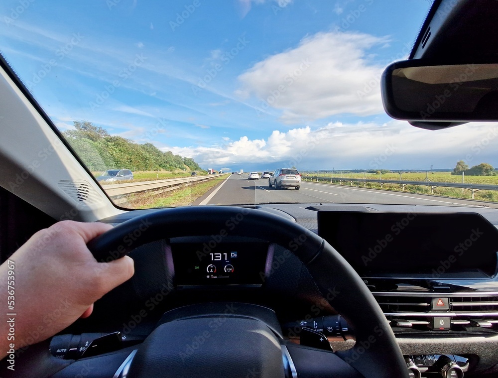
Mastering navigation isn't about blindly following a digital voice; it's about understanding how routes are built, anticipating road design, and reading spatial cues before they surprise you. Whether you're commuting through dense urban grids or planning a cross-country road trip, interpreting route instructions accurately transforms chaotic driving into a controlled, predictable experience.
Modern navigation relies on a blend of satellite telemetry, graph theory algorithms, and real-time telemetry. When you input a destination, mapping engines analyze road networks as weighted graphs, calculating paths based on historical traffic patterns, speed limits, and turn restrictions rather than simple geometric distance. Recognizing how these systems think helps you spot flaws in automated suggestions and maintain full command of your vehicle.
Anatomy of a Route Instruction
Every piece of turn-by-turn guidance follows a strict hierarchy designed to minimize cognitive load while you're moving at high speeds. Understanding this structure allows you to process cues faster.
- The Preparatory Cue: Issued well in advance, this alert tells you what maneuver is coming up and gives you time to scan surrounding traffic.
- The Action Command: The exact instruction delivered at the threshold of the turn or exit, specifying the exact lane or movement required.
- The Confirmation Check: Post-turn validation confirming you've entered the correct roadway or continuation corridor.
Ignoring the preparatory cue is the most common trigger of frantic, unsafe lane changes. Professional drivers listen for the preparatory distance marker—such as a half-mile warning—and use that exact window to signal and merge smoothly.
Interpreting Map Data and Road Signage
Digital interfaces prioritize visual clarity, but physical road infrastructure remains the ultimate source of truth. When the two conflict, understanding how to read road signs saves you from missed exits.
Green highway guide signs use standardized typography and layout rules. Destinations straight ahead are listed with top-to-bottom hierarchy corresponding to lane placement, while exits use panel tabs indicating left or right positioning. Match these physical layouts to your dashboard display to prevent last-second panic.
- Lane Assignment Logic: Advanced map layers display specific lane highlights for complex interchanges. If a map shows three highlighted lanes out of five, look overhead for matching gantry signs rather than staring exclusively at your phone screen.
- Distance vs. Time Anomalies: Mapping algorithms estimate arrival times using aggressive pacing models. If an ETA seems impossibly tight, it usually assumes zero yellow-light delays and maximum legal speeds without accounting for parking or pedestrian traffic.
According to guidelines from the Federal Highway Administration, standard sign coloration and placement are engineered to maximize legibility under low-light conditions, matching the exact visual thresholds utilized by smart navigation overlays.
Building a Mental Map
Relying entirely on reactive driving degrades spatial awareness. To build a robust mental model of your route, practice pre-trip visualization.
Before putting the car in drive, look at the overview map of your entire journey. Note major highway numbers, primary bodies of water, or large geographic boundaries you'll cross. If your GPS fails in a dead zone, knowing you need to stay on a specific northbound interstate prevents disorientation.
- Chunking Long Routes: Break long trips into distinct geographical segments—for example, the urban departure, the rural highway corridor, and the suburban destination approach.
- Landmark Anchoring: Identify prominent physical structures along your path, such as a major river bridge, a distinct stadium, or a cluster of high-rise towers. These act as visual checkposts.
Mitigating Distractions and Managing Cognitive Load
Navigation-induced stress spikes when drivers attempt to process complex route changes while managing heavy traffic. Managing your in-car environment keeps decision-making sharp.
- Secure Mounting: Mount your navigation display within your natural line of sight—ideally near the dashboard top or center console—so your eyes never drop completely away from the road.
- Voice-First Transitions: Rely on auditory cues for simple stretches, saving visual glances for intricate multi-lane interchanges.
- Pre-Planning Stops: Never type addresses or alter destinations while the vehicle is in motion. Pull into a safe parking area if a complete route recalculation is necessary.
For official road safety protocols and defensive driving techniques, consult resources provided by the National Highway Traffic Safety Administration.
Frequently Asked Questions
Why do navigation apps sometimes suggest bizarre residential shortcuts?
Algorithms prioritize mathematical travel time over road comfort. If a main arterial road experiences a delay, the system searches parallel side streets to shave off seconds, often routing cars through quiet neighborhoods that lack the infrastructure for high traffic volumes.
How can I maintain my sense of direction without relying on a GPS?
Practice navigating familiar local areas with your navigation app turned off completely. Force yourself to rely on cardinal directions, highway signage, and physical landmarks to rebuild your innate spatial memory.
What should I do if my GPS loses signal in a remote area?
Pull over safely if you need to inspect a map. Keep a physical or downloaded offline map of your region accessible so you can track your position using intersecting county roads and mile markers.
Why does my estimated arrival time keep shifting during a trip?
Arrival times update dynamically based on live traffic telemetry. If an accident occurs ahead or congestion builds up on your specific corridor, the algorithm recalibrates your pace and pushes back your ETA accordingly.


