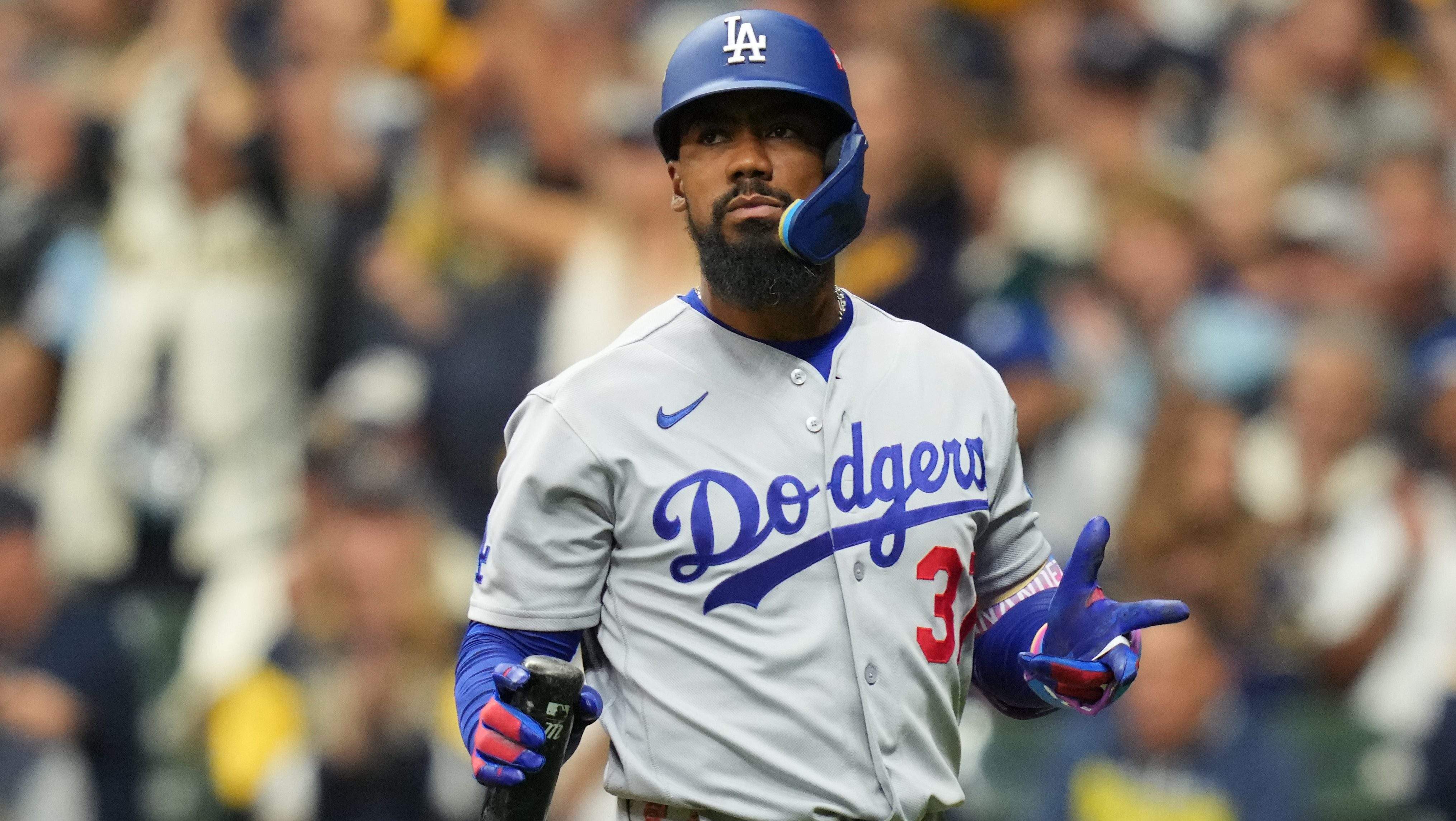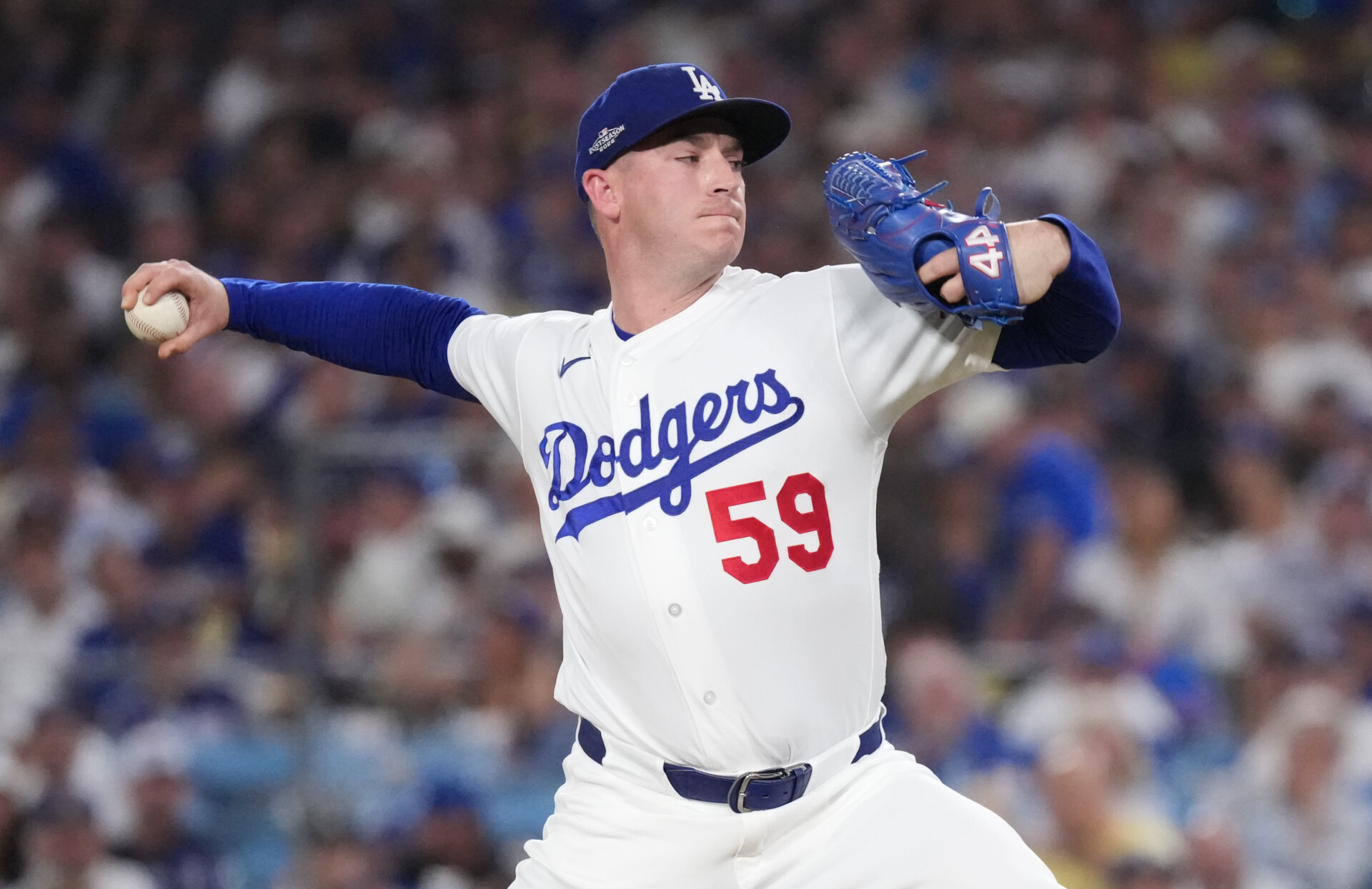
When the Los Angeles Dodgers capture a World Series championship, the city transforms into a massive wave of blue. The championship celebration features a carefully planned urban procession that brings hundreds of thousands of fans into Downtown Los Angeles. Navigating this massive event requires knowing the exact path, street restrictions, and public transit options ahead of time.
The parade route covers a 1.7-mile stretch through Downtown L.A., starting near North Broadway and West Temple Street, heading down Grand Avenue, shifting across 7th Street, and wrapping up near Figueroa Street and 5th Street. Because city officials enforce strict road blocks and heavy security perimeters, understanding the logistics is essential if you want to secure a clear view of the double-decker buses carrying players and coaching staff.
Complete Dodgers Parade Route and Map Breakdown
The procession is designed to move efficiently through the heart of the city, lasting roughly 45 minutes from start to finish. Players leave Dodger Stadium in the morning and travel down into the downtown core to meet the crowds.
- The Starting Point: Floats and buses kick off near the intersection of North Broadway and West Temple Street.
- The Grand Avenue Stretch: The procession heads west on Temple, then makes a sharp turn south onto Grand Avenue, moving past prominent downtown high-rises and cultural hubs.
- The Westward Turn: Moving down Grand, the route turns right onto 7th Street, heading west toward the financial district.
- The Final Leg: The buses make a final northward turn onto South Figueroa Street, culminating near West 5th Street, where the public street portion officially concludes before players transition back toward the stadium.
City agencies like the Los Angeles Department of Transportation publish official maps outlining exact staging zones. Keep in mind that fans cannot travel between the downtown street route and the ticketed stadium event due to time constraints and massive crowds. Choosing one location for the day is necessary.
Major Street Closures and Freeway Ramp Restrictions
Downtown traffic gridlock is guaranteed during championship celebrations. The Los Angeles Police Department and LADOT implement road blocks starting early in the morning, shutting down major commercial corridors hours before the first bus rolls out.
Freeway access points directly feeding the downtown area experience strict closures to prevent vehicle bottlenecks. Key closures typically include:
- 110 Freeway Ramps: The 6th Street off-ramps and 5th Street on-ramps on both northbound and southbound lanes are completely closed.
- Temple Street Intersections: Left-turn pockets at the Temple Street off-ramps from the northbound 110 and southbound 101 freeways are blocked off to vehicle traffic.
- Core Corridors: Surface streets intersecting Grand Avenue, 7th Street, and Figueroa Street close entirely to private vehicles, and any cars left parked along the active route are subject to immediate towing.
Best Viewing Spots Along the Route
Finding a prime vantage point depends on how early you arrive and what kind of experience you want. Sidelines fill up hours before the procession begins, especially near transit hubs.
Grand Avenue Corridor
The stretches along Grand Avenue offer wide sidewalks and clear sightlines because of the scale of the architecture and open plazas nearby. This section fills up quickly because it sits close to civic centers, but the open space prevents the claustrophobic crush found on narrower blocks.
The 7th Street and Figueroa Intersection
As the procession transitions from 7th Street to Figueroa Street, buses slow down slightly to manage the turns. This makes it a favored spot for catching photos of players holding the commissioner's trophy. Arriving at least three to four hours before the scheduled start is required to secure a spot near the curb here.
Public Transit and Getting Around
Driving into downtown is discouraged. Utilizing the Los Angeles County Metropolitan Transportation Authority system is the most reliable way to bypass road blocks. Stations like Civic Center/Grand Park, Grand Ave Arts/Bunker Hill, Pershing Square, and 7th St/Metro Center place you within walking distance of the action. Regional rail services like Metrolink also run special inbound and outbound schedules on championship days to accommodate crowds coming from neighboring counties.
Common Mistakes to Avoid
- Trying to attend both events: Expecting to watch the street parade and then make it inside Dodger Stadium for the ticketed rally is unrealistic. Traffic, security lines, and crowd density make dual attendance impossible.
- Ignoring parking restrictions: Cities strictly enforce temporary no-parking zones along the path. Checking posted street signs the day before saves you from an expensive towing fee.
- Underestimating hydration and weather: Standing on asphalt under the southern California sun for hours drains your energy fast. Packing water and wearing comfortable walking shoes is a necessity.
Frequently Asked Questions
How long does the Dodgers parade last?
The active street procession lasts roughly 45 minutes from start to finish due to the 1.7-mile length of the route. However, crowd gatherings, road closures, and transit delays mean you should expect to commit several hours to the experience.
Can I get into Dodger Stadium without a ticket?
No. The post-parade celebration inside Dodger Stadium is a strictly ticketed event. Fans without tickets can watch live local television broadcasts or online streams covering the event from home or local venues.
Where is the best place to park if I drive?
Parking directly adjacent to the route is nearly impossible due to road closures. A smarter strategy is parking near a Metro rail station several miles outside downtown and taking the train in to avoid gridlock.
Are pets allowed in the parade viewing areas?
Bringing pets into dense, loud urban crowds is strongly discouraged. The massive noise levels, heavy foot traffic, and hot asphalt create stressful and unsafe conditions for animals.