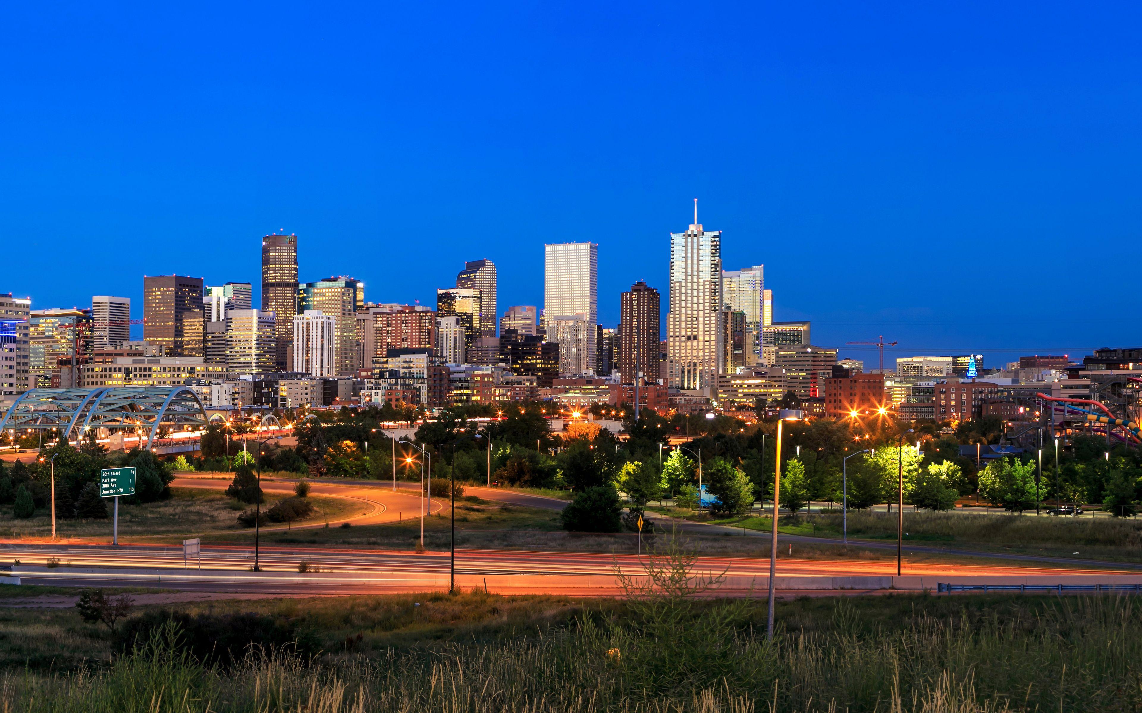
Navigating Denver, Colorado requires more than a standard map because the city's unique postal geography defines its distinct neighborhoods, real estate markets, and local culture. Whether you're relocating to the Mile High City, planning postal logistics, or analyzing local demographics, understanding how Denver zip codes are structured saves time and prevents confusion.
Denver zip codes generally follow a systematic progression starting with the prefix 802, covering everything from the historic downtown core to the sprawling suburban borders. This guide breaks down the primary zones, answers the questions standard directories miss, and provides a clear breakdown of how the city's postal boundaries operate.
Denver Zip Code Map Breakdown by Region
The city and county of Denver spans dozens of individual postal zones, each anchoring specific commercial districts, historic residential streets, or expanding modern developments. To understand where specific addresses fall, it helps to divide the city into geographic sectors.
Central Denver and Downtown Core
The urban center of the city operates primarily under zip codes 80202, 80203, and 80204.
- 80202: Covers LoDo (Lower Downtown), the Central Business District, Union Station, and Larimer Square. This high-density urban core features multi-family high-rises, corporate offices, and heavy pedestrian traffic.
- 80203: Encompasses the Capitol Hill and Cheesman Park neighborhoods. Known for dense historic apartment buildings, tree-lined streets, and proximity to the Colorado State Capitol.
- 80204: Reaches west from downtown through the Santa Fe Arts District, Lincoln Park, and Sun Valley. This area blends industrial legacy zones with rapidly expanding residential infill projects.
East and Southeast Denver
Moving away from the central core toward Aurora and Cherry Creek reveals established residential neighborhoods and major commercial hubs.
- 80206: Houses Cherry Creek, Congress Park, and City Park South. This is one of the city's premier retail and high-end residential districts.
- 80209: Covers Wash Park (Washington Park), Baker, and parts of Platt Park. Highly sought-after for historic bungalows, craftsman homes, and active park-centric living.
- 80220: Spans Park Hill and a portion of Montclair, characterized by grand historic homes, mature canopies, and quiet residential corridors.
North and Northwest Denver
North of downtown sits a collection of historically industrial and working-class neighborhoods that have undergone massive cultural and economic revitalization.
- 80211: Encompasses Highland (LoHi), Sunnyside, and West Highland. Known for trendy dining, converted brick storefronts, and modern urban infill.
- 80212: Covers Berkeley and Regis, anchored by the vibrant Tennyson Street commercial strip.
- 80216: Includes Globeville and Elyria-Swansea along the industrial corridors of the South Platte River and major interstate junctions.
Southwest and Far South Denver
Extending south toward Littleton and Englewood, these areas offer suburban-style layouts within city limits.
- 80219: Covers Mar Lee, Westwood, and portions of Harvey Park, featuring mid-century ranch homes and diverse cultural commercial strips.
- 80231 and 80237: Span southeastern edges near the Denver Technological Center (DTC) and Hampden, serving as major employment and corporate nodes.
Search Intent and Core Postal Demographics
When users search for Denver zip code information, their intent typically falls into three categories: relocation research, geographic verification for shipping/shipping logistics, or real estate market analysis. Unlike small towns where a single zip code covers an entire municipality, Denver's urban landscape requires precision because multiple neighborhoods often share a single postal designation.
For instance, zip code 80205 covers both Five Points—one of the city's oldest cultural districts—and parts of RiNo (River North Art District), an area dominated by converted warehouses, breweries, and art galleries. Recognizing these micro-districts within broader zip codes prevents costly logistical mistakes in mail delivery or real estate valuations.
Common Mistakes to Avoid with Denver Addresses
Navigating Denver mail and local travel involves a few hidden traps that frequently catch newcomers and out-of-state visitors off guard.
- Confusing Denver with Metro Enclaves: Many addresses carrying a Denver mailing address actually lie outside city and county limits in unincorporated Arapahoe, Jefferson, or Adams counties. Double-check local municipal tax jurisdictions when purchasing property or setting up utility services.
- Over-reliance on Neighborhood Boundaries vs. Zip Codes: Postal routes do not strictly follow neighborhood community boundaries. Parts of a single neighborhood like Congress Park may spill across adjacent postal codes, changing your service station or utility district.
- Assuming Grid Uniformity: While Denver's street grid is famously logical in the central districts, irregular topography near parks, rivers, and highways causes zip code boundaries to bend unpredictably. Always verify the physical address alongside the postal code.
Frequently Asked Questions
Which Denver zip code covers downtown?
The primary downtown core is represented by 80202, which includes Union Station, LoDo, and the core financial district.
Do Denver zip codes start with the same prefix?
Yes. All zip codes in Denver and its immediate surrounding metropolitan area begin with the prefix 802.
How many total zip codes are in Denver?
There are roughly 50 distinct zip codes that serve the city and county of Denver, though exact boundaries adjust periodically to accommodate urban growth and population shifts.
Can a single building have its own zip code?
Yes. High-rise corporate towers, major hospitals like Denver Health, and large university campuses often hold unique assigned zip codes for high-volume mail processing.
Where can I verify an exact Denver address and zip code?
You can verify official postal data and check precise delivery routes directly through the USPS ZIP Code Lookup.


