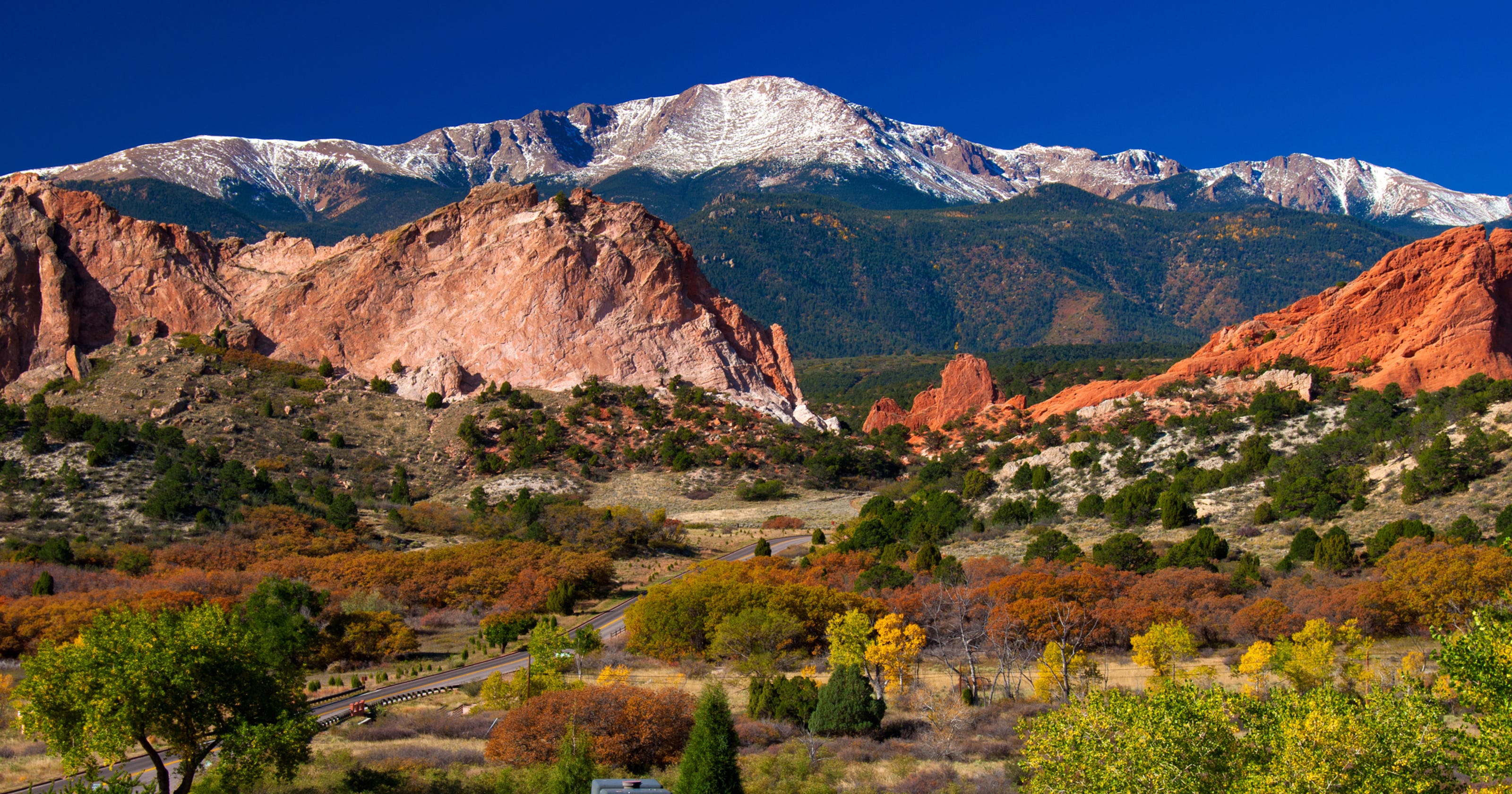
Colorado sits squarely in the Mountain West subregion of the western United States. Known officially as the Centennial State, it holds a strategic geographic position that bridges the flat expanse of the American plains with the rugged uplift of the Rocky Mountains. If you look at a standard map of the country, Colorado is hard to miss because of its distinct geometric shape: a nearly perfect rectangle defined by lines of latitude and longitude.
Understanding Colorado's exact position requires looking beyond a simple pin on a map. The state spans roughly 104,094 square miles, making it the 8th largest state in the nation. Its boundaries touch seven different states, creating a central hub for western transit, ecology, and climate patterns. This guide breaks down the precise borders, topographical zones, regional significance, and common geographic misconceptions about the state.
Exact Borders and Neighboring States
Colorado shares its perimeter with seven neighbors, an unusually high number resulting from its rectangular design. Because surveyors mapped its borders using meridians and parallels rather than natural rivers or mountain ridges, most of its edges run in straight lines.
- North: Wyoming and a small eastern slice of Nebraska.
- East: Nebraska and Kansas.
- South: Oklahoma and New Mexico.
- West: Utah.
- Southwest Corner: Arizona. This specific point forms the famous Four Corners Monument, the only place in the United States where four state boundaries meet at a single right-angled intersection.
These borders place the state midway between the Mississippi River and the Pacific Coast, and roughly halfway between Canada and Mexico.
Topographical Zones: Plains, Peaks, and Plateaus
While many people picture endless snow-capped peaks when they think of Colorado, the state's geography is remarkably diverse. Geographers generally divide the state into three distinct physical regions, moving from east to west:
The Eastern Plains
Accounting for roughly the eastern third of the state, this area is part of the Great Plains. It features flat terrain, rolling hills, and vast agricultural fields. Elevations here range from about 3,350 feet at the Kansas border—the lowest point in the state—up to the base of the mountains. Water is scarce, making irrigation essential for farming and ranching.
The Rocky Mountains
The middle third of the state is dominated by the Southern Rocky Mountains. This zone features more than 50 peaks exceeding 14,000 feet in elevation, commonly known as "fourteeners." Mount Elbert is the highest point, standing at 14,440 feet. This rugged spine divides the North American continent; precipitation falling on the western slopes flows toward the Pacific Ocean, while eastern waters drain toward the Atlantic.
The Western Slope and Plateaus
West of the continental divide, the landscape transitions into the Colorado Plateau, featuring deep canyon lands, mesas, sagebrush deserts, and dramatic red rock formations. Major river systems like the Colorado River have carved massive gorges through this arid terrain over millions of years.
Climate and Altitude Influence
Colorado's location and extreme elevation changes create microclimates that vary drastically over short distances. Denver, the capital city, sits at the eastern edge of the mountains at roughly 5,280 feet—earning it the nickname the Mile-High City.
- Temperature swings: Sunny days are common, with the state averaging over 300 days of sunshine annually. However, thin mountain air causes rapid temperature drops after sunset.
- Precipitation: The eastern plains receive relatively low annual rainfall, while high mountain zones accumulate heavy winter snowpacks that feed major Western river systems.
Strategic Economic and Cultural Hub
Because of its central location in the Western time zone, Colorado functions as a critical logistics and transit corridor. Major interstate highways, including Interstate 25 running north-south and Interstate 70 running east-west, intersect near Denver. This infrastructure connects the Midwest to the West Coast, making the region a primary distribution center for technology, aerospace engineering, and renewable energy industries.
For deeper official geographic data, you can consult the U.S. Geological Survey or review state profiles on the Library of Congress.
Frequently Asked Questions
Is Colorado considered a Midwestern state?
No. Colorado belongs firmly to the Western United States, specifically the Mountain West subregion. Its cultural, economic, and physical ties align with western states rather than the Midwest.
Why is Colorado shaped like a rectangle?
Congress established the Territory of Colorado in 1861 using specific lines of latitude and longitude to simplify surveying. While mountain ranges make up other state borders, Colorado's boundaries were drawn on paper before precise local topography was fully mapped.
What is the highest point in Colorado?
Mount Elbert is the highest summit in the state, reaching an elevation of 14,440 feet above sea level in the Sawatch Mountain Range.
Which states touch Colorado?
Colorado shares borders with seven states: Wyoming, Nebraska, Kansas, Oklahoma, New Mexico, Arizona (at the Four Corners), and Utah.



