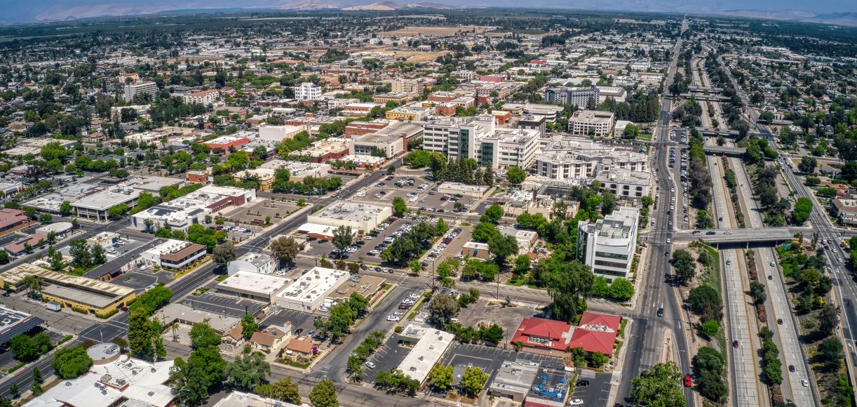
Nestled along the eastern border of Hamilton County and the banks of the Ohio River, Clermont County, Ohio bridges rural heritage with thriving suburban growth. Established in December 1800, it stands as the eighth-oldest county in the state. Over 211,000 residents call this region home, spanning two cities, fourteen townships, and nine villages that blend scenic parks with modern commercial corridors along Interstate 275 and State Route 32.
If you're looking to understand what makes this part of southwest Ohio tick, you need to look past standard chamber-of-commerce summaries. This guide breaks down the county's foundational history, economic drivers, community layout, and the practical details newcomers or researchers often overlook.
The Foundations: Early History and Settlement
Clermont County's story begins well before formal statehood. Surveyors and pioneers arrived in the late eighteenth century, drawn by fertile river valleys and dense hardwood forests. William Lytle, often called the father of Clermont County, platted the area's first community, Williamsburg (originally known as Lytlestown), in 1796. When the county was officially organized in 1800 under the Northwest Territory, Williamsburg served as the original county seat.
Governance shifted westward over the next two decades as population centers changed. The county seat moved to New Richmond briefly in 1823 before settling permanently in Batavia. Throughout the nineteenth century, agriculture formed the backbone of local survival. Farmers cultivated corn, wheat, and tobacco, while small mills harnessed water power from local waterways like the East Fork of the Little Miami River and Stonelick Creek.
Transportation shaped early expansion. The Ohio River acted as a vital commercial highway, moving goods and passengers toward Cincinnati and down to New Orleans. Later, turnpikes and the railroad network connected inland settlements, transforming isolated farm hamlets into bustling trade stops. Historic landmarks, such as the stone dairy house built in Milford in 1800, still dot the landscape, serving as physical reminders of these pioneer roots.
Modern Economic Landscape and Major Industries
Today, the local economy looks vastly different from its agrarian origins. While pockets of agriculture remain in eastern townships like Tate and Washington, the economic engine runs on a diverse mix of manufacturing, healthcare, logistics, and retail.
Proximity to Cincinnati provides residents with major metropolitan job markets, but Clermont County itself hosts significant employment hubs. State Route 32 functions as a major commercial corridor, housing light industrial parks, tech firms, and distribution centers. Key economic sectors include:
- Advanced Manufacturing and Logistics: Industrial parks in communities like Milford and Union Township support precision machining, automotive suppliers, and food processing facilities. Access to major transit routes makes regional shipping efficient.
- Healthcare and Social Services: Major regional medical networks, including facilities affiliated with UC Health, anchor the healthcare sector, providing steady employment and critical care services.
- Retail and Professional Services: Commercial developments around Eastgate Mall and surrounding retail centers generate thousands of local service and sales positions.
Compared to adjacent urban centers, the local cost of living remains moderate. Median household incomes hover around competitive regional averages, while property taxes and housing prices offer realistic options for families relocating from higher-cost metro areas.
Communities, Townships, and Geographic Divisions
Clermont County's geography creates a distinct cultural split between its western and eastern halves.
The Suburban West
Townships like Union Township and Miami Township function essentially as dynamic extensions of Greater Cincinnati. Packed with shopping centers, planned residential neighborhoods, and corporate offices, these areas feature high population densities and rapid commercial development. Communities like Milford offer historic downtown charm paired with modern amenities, walkability, and active local dining scenes.
The Rural East
Moving east toward Brown County, the landscape opens up significantly. Townships such as Jackson, Stonelick, and Washington maintain a quiet, rural character. Rolling hills, family-owned farms, and vast green spaces define this side of the county. Residents here value privacy, larger homesteads, and a slower pace of life, while still being within a thirty-minute drive of suburban conveniences.
Parks, Recreation, and Natural Resources
Outdoor recreation plays a massive role in daily life here. The county's geography features steep wooded hillsides, river valleys, and protected green spaces.
- East Fork State Park: Spanning over 10,000 acres near Batavia, this state park is the crown jewel of local recreation. It features a massive lake for boating, swimming beaches, extensive equestrian trails, and miles of rugged hiking paths through dense woods.
- The Little Miami Scenic Trail: Part of a massive regional bike trail network, this paved multi-use path runs alongside the Little Miami River, offering cyclists and runners a scenic route through historic towns and natural canopies.
- Local Conservation: Preserving natural habitats remains a priority for local park districts, ensuring that rapid suburban expansion doesn't completely erase the region's natural beauty.
Frequently Asked Questions
What is the county seat of Clermont County?
The county seat is Batavia, which has held the administrative center since the early nineteenth century after previous stints in Williamsburg and New Richmond.
How did Clermont County get its name?
The name is of French origin, meaning "clear mountain" or "clear view," chosen to reflect the pleasant, elevated landscape encountered by early settlers.
Is Clermont County considered part of the Cincinnati metropolitan area?
Yes. The western portions of the county are fully integrated into the Greater Cincinnati metropolitan statistical area, sharing commuting patterns, media markets, and economic ties.
What school districts serve the area?
The county is served by several local school districts, including West Clermont, Batavia, Milford, Clermont Northeastern, Felicity-Franklin, Williamsburg, and Bethel-Tate, alongside private and parochial educational options.