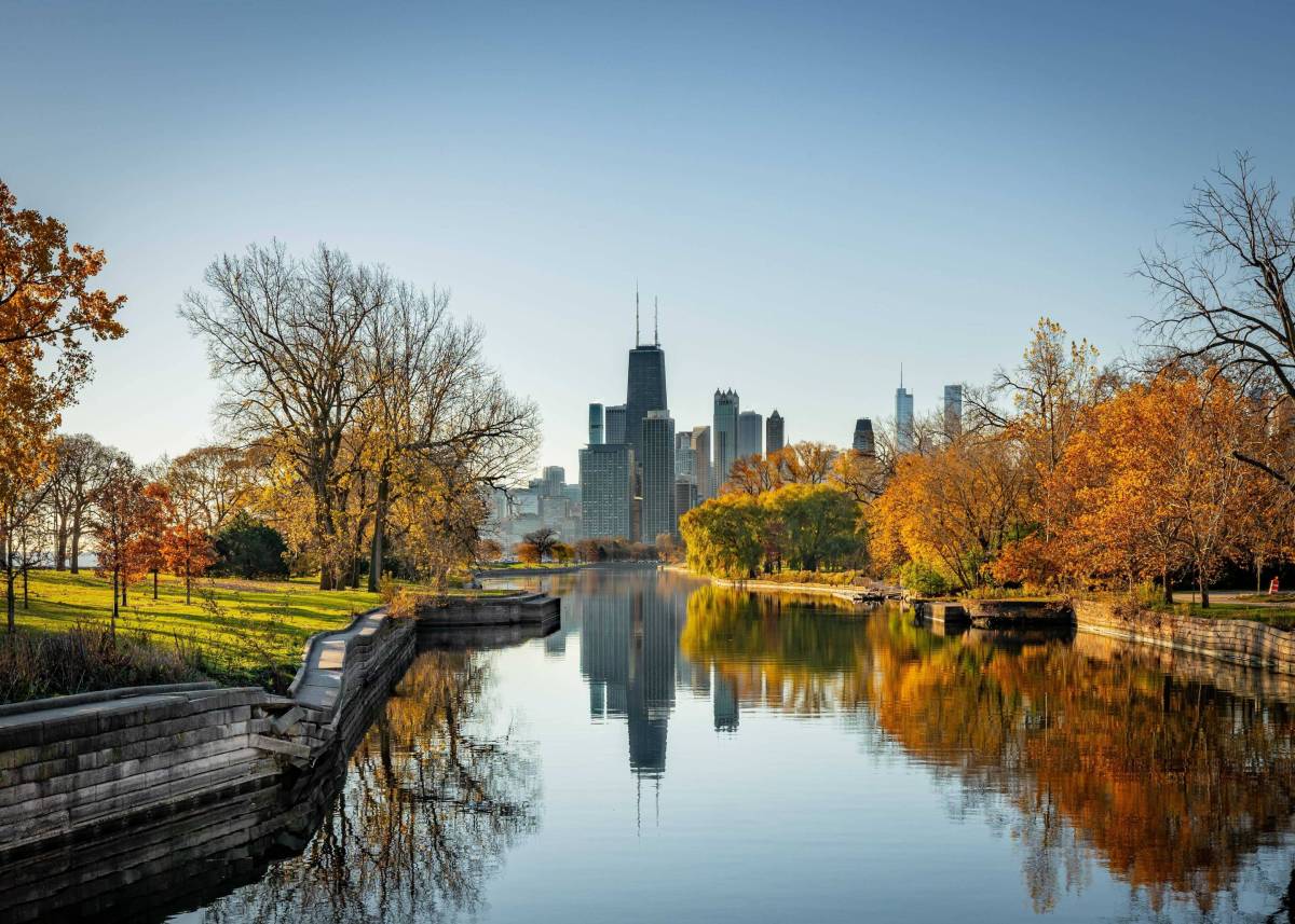
Navigating Chicago without a handle on its postal zones feels like trying to solve a Rubik’s Cube in the dark. The city spans over 230 square miles, divided into 77 official community areas and dozens of distinct neighborhoods. Whether you're hunting for a new apartment, planning a delivery route, or trying to figure out why your rideshare driver is confused by street names, understanding the Chicago zip code map is essential.
Unlike grid systems in newer planned cities, Chicago's postal layout evolved organically alongside its industrial growth, annexations, and neighborhood shifts. Postal codes here aren't just random digits assigned by the United States Postal Service; they tell a story about geography, municipal boundaries, and community identity. Let's break down how the system works, how the zones are organized by region, and how you can read the city like a veteran local.
Understanding the Chicago Postal Grid Layout
Nearly every postal code in Chicago begins with the prefix 606, followed by two digits that generally pinpoint the geographic zone within the city limits. This numbering convention starts downtown and spirals outward, though historical annexations mean the pattern has a few exceptions.
The city's address system relies on a central baseline anchored at State Street (running north-south) and Madison Street (running east-west). While zip codes don't strictly follow every single block of this grid, postal zones respect these major directional quadrants. Knowing whether you are heading north, south, or west from downtown immediately narrows down which postal range you need.
Post offices sort mail based on these numerical clusters, but locals rely on them for entirely different reasons: real estate searches, neighborhood identification, and understanding local tax or school districts. Let's look at how the city splits up across its major geographic regions.
Downtown and The Loop: 60601 through 60607
If you are standing among the skyscrapers, looking up at the Willis Tower, or walking through Millennium Park, you are operating within the downtown core. This concentrated business and cultural hub is carved up into several low-digit postal zones.
- 60601 & 60602: These cover the northern and central sections of the Loop, stretching up toward the southern edge of the Chicago River and embracing major commercial blocks, theatres, and government offices.
- 60603, 60604, & 60605: Moving further south through the Loop and stretching down to the edge of the Museum Campus and Printer's Row, these codes capture major cultural institutions and dense high-rise residential buildings.
- 60606 & 60607: These codes span the western edge of the Loop and push into the Near West Side, encompassing Union Station, the Fulton River District, and parts of Greektown.
Navigating downtown zip codes is straightforward because the blocks are dense and compact. A single zip code might only cover a few square blocks due to the sheer vertical density of the high-rises and commercial towers.
The North Side: Lakefront Living and Cultural Hubs
As you move north of the Chicago River, the postal codes shift into the 60610s, 60640s, and 60650s. This corridor hugs Lake Michigan and houses some of the city's most densely populated and vibrant residential neighborhoods.
- 60610 & 60611: These cover the Near North Side, including the affluent Gold Coast, Streeterville, and the famous Magnificent Mile shopping district. If you are shopping on Michigan Avenue, you are in 60611.
- 60614: Home to Lincoln Park and parts of DePaul University, this code represents scenic tree-lined streets, historic brownstones, and bustling restaurant strips.
- 60657 & 60613: These capture Lakeview, Wrigleyville (home of the Chicago Cubs), and Boystown, blending energetic nightlife with quiet residential pockets near the lake.
- 60640 & 60660: Moving further north brings you to Uptown and Edgewater, where historic grand architecture meets diverse local eateries, vintage theatres, and beachfront parks.
Locals on the North Side often use zip codes as shorthand for lifestyle. Saying you live in 60614 immediately communicates historic charm and proximity to the park, whereas 60657 evokes a younger, high-energy renter population.
The Northwest Side: Bungalows and Historic Squares
Heading inland and north-west from the lake, the density shifts. The postal codes here—primarily 60618, 60625, 60630, 60641, and 60647—define areas known for classic Chicago brick bungalows, independent music venues, and expansive public parks.
- 60647 (Logan Square & Humboldt Park): Known for its historic boulevards, trendy cocktail bars, and an artistic community, Logan Square relies heavily on this single code.
- 60618 (Avondale & Irving Park): A working-class heritage meets modern craft breweries and family-run bakeries in this diverse residential zone.
- 60625 (Lincoln Square & Albany Park): Encompassing the charming European-style square of Lincoln Square and one of the most culturally diverse immigrant corridors in the Midwest along Lawrence Avenue.
Parking rules and alley systems in these northwestern areas follow tight grids. Delivery drivers quickly learn that navigating 60647 requires patience due to diagonal streets like Milwaukee Avenue cutting across the standard grid layout.
The West Side: Industrial Roots and Creative Revitalization
West of the Loop, postal codes such as 60612, 60622, 60624, and 60644 tell a story of immense historical transformation.
- 60622 (West Town, Wicker Park, Ukrainian Village): This zone bridges historic immigrant enclaves with trendy design shops, live music venues, and rapid real estate development.
- 60612 (Near West Side & Tri-Taylor): Home to the Illinois Medical District and massive healthcare infrastructure alongside rapidly growing residential blocks near United Center.
- 60624 & 60644 (East Garfield Park & Austin): Historic neighborhoods featuring grand Victorian architecture, sprawling green spaces like Garfield Park Conservatory, and deep community roots.
Street navigation on the West Side is heavily anchored by major commercial arteries like Madison Street, Washington Boulevard, and Roosevelt Road, which slice straight west from the downtown center.
The South Side: History, Education, and Lakefront Parks
South of downtown, the postal layout expands across massive acreage, encompassing historic industrial corridors, cultural epicenters, and world-class educational institutions.
- 60616 (Chinatown, Bronzeville, Near South Side): A culturally rich area bridging the Loop with historic African American heritage sites and bustling culinary destinations in Chinatown.
- 60615 & 60637 (Hyde Park & Woodlawn): Anchored by the University of Chicago, these codes feature Gothic campus architecture, Frank Lloyd Wright historic homes, and direct access to the lakefront at Promontory Point.
- 60649 (South Shore): Known for its striking architecture along Lake Michigan, historic cultural landmarks, and active community organizations.
- 60643 & 60655 (Beverly & Mount Greenwood): Located on the Far South Side, these neighborhoods feature rolling hills, unique Irish-American heritage, and a distinctly residential, suburban feel within city limits.
Navigating the South Side requires appreciating its scale. Zip codes here cover expansive physical distances compared to the cramped vertical blocks of downtown.
Common Mistakes When Reading Chicago Zip Codes
Visitors and newcomers frequently trip up on a few unique quirks of Chicago's postal layout. Avoiding these mistakes will save you time and frustration.
- Assuming zip codes match neighborhood boundaries: Zip codes are postal delivery routes, not official political or cultural neighborhoods. Many neighborhoods—like West Town or Lakeview—spill across two or three different zip codes. Always verify the exact five-digit code rather than guessing based on neighborhood name.
- Ignoring directional prefixes: A street address like 2000 N. Milwaukee Ave is completely different from 2000 S. Milwaukee Ave. Because zip codes change depending on whether you are north or south of Madison Street, check your directional prefixes carefully.
- Confusing O'Hare with the city center: The postal code 60666 belongs exclusively to O'Hare International Airport. People frequently misroute packages or confuse it with nearby residential neighborhoods in the 60656 zone.
Practical Tips for Using the Map Like a Local
If you are planning a move or mapping out a multi-stop itinerary across town, keep these strategies in mind.
First, download or bookmark a vector-based GIS map of Cook County postal boundaries. Standard consumer mapping apps sometimes blur postal lines or make them hard to read against transit overlays.
Second, pay attention to public transit alignments. Chicago Transit Authority (CTA) train lines radiate outward from downtown. Knowing which zip code corresponds to which CTA station line (like the Brown Line on the North Side or the Red Line running north-south) makes cross-town navigation infinitely easier.
Finally, always double-check delivery instructions. Delivery services in Chicago deal with thousands of identical street names across different quadrants. Including the correct zip code and the exact directional prefix (N, S, E, W) is the single best way to ensure your mail or rideshare arrives without a detour.
Frequently Asked Questions
How many total zip codes are in Chicago?
Chicago contains roughly 60 active residential and commercial zip codes, ranging from 60601 in the downtown Loop up to 60666 at O'Hare Airport, alongside a few specialized institutional and PO box codes.
Do Chicago zip codes cross neighborhood boundaries?
Yes. Many large neighborhoods span multiple zip codes. For example, Lincoln Park and Logan Square cover multiple postal zones because population density requires smaller delivery footprints for mail carriers.
Why do some Chicago addresses share numbers in different parts of the city?
Because Chicago uses a strict grid coordinate system based on State and Madison streets, you can find a "2000 North" address and a "2000 South" address on the exact same named street. The zip code helps postal workers separate these identical numerical addresses across the city's quadrants.
What is the wealthiest zip code in Chicago?
Postal zones on the Near North Side and parts of Lincoln Park—such as 60611 and 60614—consistently rank among the highest average median incomes and real estate values in the city.


