Navigating Casco Bay requires a keen eye on changing weather patterns, shifting tides, and detailed local charts. If you're heading out from Portland harbor or threading through the Calendar Islands, knowing how to interpret the latest marine forecast can prevent minor surprises from turning into dangerous situations.
Casco Bay presents unique challenges for mariners, including dense morning fog, hidden ledges, and rapid tidal currents. Relying on an outdated understanding of local waters or ignoring small craft advisories puts you at risk. Let's break down how to source accurate conditions, read NOAA charts effectively, and plan a safe voyage across this complex Maine waterway.
Understanding Casco Bay Weather Patterns
Weather in Casco Bay shifts fast. A calm, sunny morning can turn into a choppy, low-visibility afternoon when a sea breeze kicks up or an offshore front moves in.
Wind direction dictates much of your safety on the bay. Strong northwest winds bring cold, gusty conditions that test your vessel's handling, while southwest winds during summer afternoons frequently build steep, short-period chop around the islands. Always check the National Weather Service Marine Forecast for Zone ANZ153 before untying your lines.
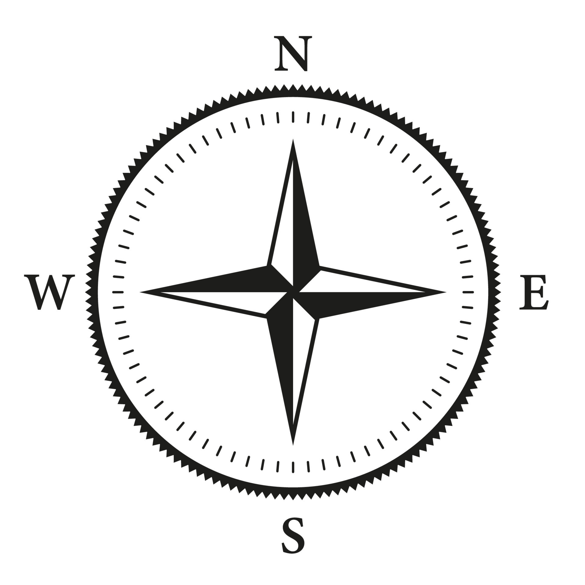
Visibility is another major factor. Spring and early summer often bring thick radiation fog that rolls in off the Gulf of Maine, reducing visibility to near zero within minutes. Keep your radar, GPS, and a backup magnetic compass ready, even if you know the bay like the back of your hand.
Essential Nautical Charts for Casco Bay
Electronic chart plotters are convenient, but paper charts and official electronic navigational charts (ENCs) provide the big-picture context needed to spot hazards early. The primary chart covering this region is NOAA Chart 13290, which covers Casco Bay and surrounding approaches.
When studying your charts, pay close attention to the following features:
- Ledges and Submerged Rocks: Casco Bay is famous for granite ledges that dry at low tide and lurk just beneath the surface at high tide.
- Tidal Current Stations: Currents can reach significant speeds in narrow guts and thoroughfares between islands, affecting your speed over ground and fuel consumption.
- Aids to Navigation: Red, green, and lighted buoys mark the primary channels, but winter ice displacement can move spar buoys off station. Always cross-reference visual markers with your instruments.
Interpreting Tides and Currents
The tidal range in Casco Bay often exceeds nine feet, transforming the shoreline twice a day. Rocks that offer plenty of clearance at high tide become hull-destroying hazards at low water.
Check local tide tables for Portland Head Light or Potts Harbor before you depart. If you're planning to explore shallow coves or narrow passages like Quahog Bay, make sure your depth under keel matches the stage of the tide. Entering an unfamiliar passage at a falling tide risks leaving you high and dry for hours.
Common Navigation Mistakes in Casco Bay
Even experienced skippers occasionally run into trouble on the bay. Avoiding these frequent errors keeps your crew safe:
- Trusting GPS blindly: Electronic screens fail, lose satellite locks, or lack the high-resolution detail needed to spot minor navigational hazards. Always back up your plotter with current paper charts or secondary apps.
- Ignoring afternoon wind shifts: A gentle morning breeze often builds into a stiff chop by mid-afternoon. Plan your return trip to avoid fighting wind-against-tide conditions at their peak.
- Underestimating fog risks: Relying solely on your eyes when visibility drops leaves you vulnerable to unlit lobster gear, commercial traffic, and unmarked ledges. Slow down and post a dedicated lookout.
- Failing to monitor VHF radio: Cell phone coverage drops out in outer parts of the bay. Keep your VHF tuned to channel 16 for hailing and channel 22A for NOAA weather broadcasts.
Frequently Asked Questions
Where can I find the most reliable real-time wind data for Casco Bay?
The National Data Buoy Center and local NOAA weather radio broadcasts offer continuous updates. You can also monitor real-time wind speeds via reporting stations in Portland and surrounding coastal buoys.
Are paper nautical charts still necessary if I have a chart plotter?
Yes. Electronic systems can experience hardware failures, software glitches, or complete power loss. A paper chart and parallel rules provide a reliable failsafe for emergency position fixing.
What time of year presents the toughest conditions in Casco Bay?
Late autumn and winter bring severe gale-force winds, freezing spray, and sub-zero temperatures that strain both vessel systems and crew endurance. Spring brings the highest risk of dense fog.
How do I report a missing or displaced navigation buoy?
Contact the United States Coast Guard Sector Northern New England via VHF channel 16 or by phone to report any misplaced or damaged aids to navigation.