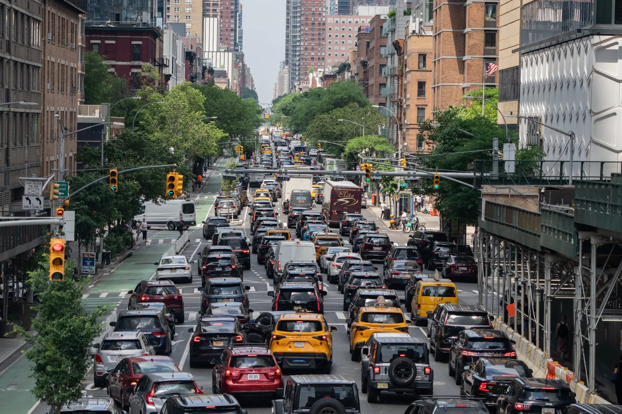
Navigating the Cajon Pass requires patience, timing, and local strategy. This 30-mile mountain corridor on Interstate 15 carries over 140,000 vehicles daily between the Inland Empire and the Mojave Desert. When accidents or severe weather strike, traffic grinds to a complete standstill.
Understanding how to time your trip, knowing the specific trouble spots, and having alternate routes ready will save you hours of delay. Here is how you can master this vital Southern California artery without losing your sanity.
Anatomy of the Cajon Pass: Where Delays Happen
The pass sits between the San Bernardino Mountains and the San Gabriel Mountains, climbing to a summit elevation of 3,777 feet. That steady grade tests heavy commercial trucks, which often drop to low speeds in the right lanes.
The Highway 138 Interchange
The junction connecting Interstate 15 to State Route 138 is a primary bottleneck. Commuters heading toward Lancaster or Palmdale merge here, causing heavy friction with through-traffic. The merge lanes are short, forcing drivers to brake suddenly during peak periods.
The Cleghorn Road and Oak Hills Stretch
As the highway climbs north toward the summit, grades steepen. Trucks pulling heavy cargo from ports in Los Angeles struggle on these inclines. If a semi truck stalls or throws a tire here, it blocks multiple lanes instantly.
The Devore Grade
Coming southbound down the pass toward San Bernardino, the downhill slope tempts drivers to speed. However, sudden slowdowns near the Kenwood Avenue exit catch speeding motorists off guard, triggering frequent rear-end collisions that back up traffic for miles.
Timing Your Drive: When to Travel
You can avoid a massive headache simply by shifting your departure window. Traffic patterns follow strict commuter and freight schedules.
- Morning Rush (Southbound): Weekdays from 5:30 AM to 8:30 AM see heavy commuter traffic pushing from Victorville toward Rancho Cucamonga and Ontario.
- Evening Rush (Northbound): Weekdays from 3:00 PM to 7:00 PM experience severe congestion as workers return home to the high desert.
- Weekend Reversal: Sunday afternoons and evenings are notoriously brutal for northbound traffic as weekend travelers return from Las Vegas or mountain resorts.
Leaving before 5:00 AM or after 8:00 PM on peak travel days cuts your transit time in half. You can check current conditions via the Caltrans QuickMap before you leave your driveway.
Practical Alternate Routes
When a major accident closes Interstate 15 completely, standard GPS apps might route thousands of drivers into local mountain roads that quickly overflow. Knowing your options keeps you moving.
State Route 138 to Highway 2
If you get stuck near the summit, you can cut across via Highway 138 toward Wrightwood, though local mountain roads involve sharp switchbacks and require careful driving.
Interstate 10 to Highway 62
For long-distance trips bypassing the pass entirely—such as traveling toward Arizona or Nevada during catastrophic closures—taking Interstate 10 east through Palm Springs and up through Twentynine Palms offers a wide detour, though it adds significant mileage. For official road safety updates, consult the CHP Incident Page.
Common Mistakes to Avoid
Drivers unfamiliar with the corridor often make critical errors that worsen delays or risk safety.
- Ignoring Fuel Levels: Sitting in a standstill for two hours drains gas tanks quickly. Never enter the pass with less than a quarter tank.
- Riding Truck Brakes: Descending southbound requires lower gears rather than riding your brake pads, which can overheat and fail on long grades.
- Trusting Outdated Apps: Cellular dead zones exist within the pass canyons. Download offline maps or check conditions before losing signal coverage.
Frequently Asked Questions
What causes the most traffic delays in the Cajon Pass?
Commercial truck volume combined with steep mountain grades creates natural bottlenecks. When a mechanical breakdown or accident blocks a lane, traffic backs up instantly due to high vehicle density.
Is there a train alternative through the Cajon Pass?
While freight trains operated by BNSF and Union Pacific run heavily through the pass, passenger rail service like Brightline West is currently under development to connect Las Vegas and Southern California, which aims to reduce highway volume.
What should I do if my car breaks down in the pass?
Pull as far onto the right shoulder or median as possible. Stay inside your vehicle with your seatbelt fastened and hazard lights on, as narrow shoulders leave very little clearance from fast-moving traffic.
How do high winds affect driving through the pass?
Santa Ana wind events frequently sweep through the gap, creating dangerous crosswinds for high-profile vehicles, semi trucks, and RVs. Pay close attention to wind advisories and electronic message boards.


