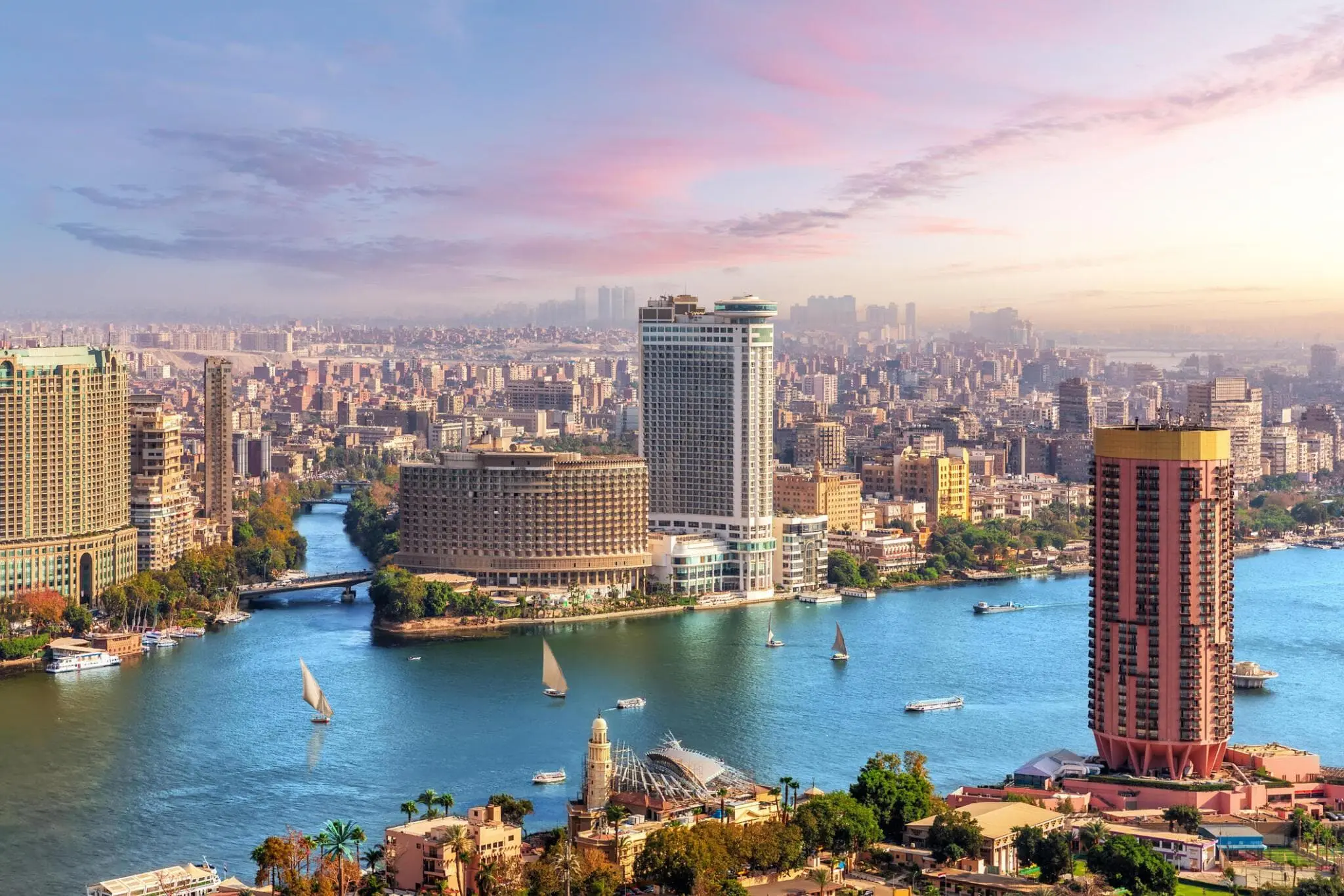
Cairo sits at the crossroads of Africa, the Middle East, and the Mediterranean, anchoring Egypt's position as a major continental and global player. Positioned along the banks of the Nile River, the city bridges the arid expanse of the eastern Sahara Desert with the fertile Nile Delta.
For centuries, this strategic coordinates-point has dictated regional trade, migration, and political influence. Today, Cairo operates as a megacity of over twenty million residents, functioning as the political, economic, and logistical heartland of modern Egypt.
Geographic Coordinates and Physical Setting
Cairo's precise location on the globe is defined at approximately 30.0444° N latitude and 31.2357° E longitude. Built in a natural basin near the head of the Nile Delta, the city is surrounded by desert plateaus and limestone hills, including the Mokattam Hills which overlook the sprawling urban landscape.
The Nile River is the defining physical feature of Cairo's geography. Flowing from south to north, the river splits as it reaches the northern limits of the metropolitan area, forming the wide, fertile fan of the Delta that has sustained human settlement for millennia.
- Elevation: Roughly 23 meters above sea level.
- Topography: Flat alluvial valley floor flanked by eastern and western desert uplands.
- Climate: Arid climate characterized by hot summers and mild winters with minimal annual rainfall.
The Nile as a Transportation and Trade Axis
Long before modern highways and aviation, the Nile River made Cairo a natural nexus for movement. The city stands at the critical junction where Upper Egypt meets Lower Egypt.
Historically, this transition point allowed goods moving downriver from Central Africa and East Africa to transfer easily onto vessels heading toward Mediterranean ports. Today, while much of international cargo moves through maritime hubs like Alexandria and Port Said, Cairo remains the central administrative and distribution switchboard for the nation's internal supply chains.
Urban Expansion and Megacity Geography
Managing a capital city that accommodates more than twenty million people requires constant adaptation of its physical boundaries. Urban growth over the past fifty years has transformed former agricultural lands and desert fringes into dense residential and industrial zones.
To alleviate congestion in the historic center, the Egyptian government initiated major urban planning projects, most notably the construction of the New Administrative Capital located roughly 45 kilometers east of Cairo proper. This strategic shift aims to relocate government ministries and commercial headquarters away from the crowded Nile valley into a modern, planned urban grid.
- Greater Cairo Area: Encompasses Cairo Governorate, parts of Giza, and Qalyubia.
- New Administrative Capital: Designed to decentralize government operations and reduce traffic density.
- Ring Road System: A vital multi-lane highway network encircling the metropolitan area to manage heavy freight and commuter traffic.
Strategic Position in Regional and Global Networks
Cairo's geography places it within a four-hour flight of major capitals across Europe, the Middle East, and East Africa. Cairo International Airport serves as a premier aviation hub on the African continent, handling millions of international passengers and substantial cargo annually.
Beyond aviation, the city sits near the northern terminus of major pan-African highway proposals, such as the Cairo-Cape Town Highway, designed to link the Mediterranean coast directly to South Africa. These infrastructure initiatives reinforce Cairo's status as a primary continental gateway. You can learn more about continental transport frameworks via the African Development Bank.
Frequently Asked Questions
What hemisphere is Cairo located in?
Cairo is located entirely in the Northern Hemisphere and the Eastern Hemisphere, positioned just north of the Tropic of Cancer.
Why is Cairo considered a geographic hub?
Cairo connects three continents—Africa, Asia, and Europe—and sits at the junction of the Nile River valley and the Mediterranean basin, making it a historical and modern center for trade and travel.
How has Cairo's geography changed in recent years?
Urban sprawl has pushed the city limits far into the surrounding eastern and western desert landscapes, prompting the development of satellite cities and a new administrative capital to manage population growth.
What body of water runs through Cairo?
The Nile River flows directly through the city, dividing urban districts and providing the historic water source that enabled the region's development.



