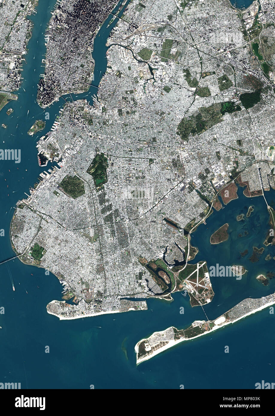
Navigating Brooklyn's postal layout requires understanding that the borough's numeric grid spans from 11201 in the northwest down to 11256 on its eastern and specialty business borders. Every single code tells a story about how Kings County grew, mapped from old postal zones into modern delivery routes.
If you're tracking mail, buying real estate, or analyzing local demographics, you need more than a flat list. You need to see how these numbers group neighborhoods together, where special administrative codes hide, and why certain areas share postal boundaries while crossing distinct cultural lines.
The Structure of Brooklyn Postal Codes
The United States Postal Service assigns prefixes based on geographical routing regions, with all of Brooklyn sharing the 112 prefix. When the zone system expanded into ZIP codes, older municipal delivery zones directly informed the new digits. For example, old postal zone Brooklyn 17 became 11217 covering Park Slope and Boerum Hill, keeping sorting offices aligned with historical footpaths.
Not all numbers in the 11201 to 11256 sequence represent residential streets. The sequence includes specific allocations for post office boxes, major institutions, military bases, and high-volume commercial processing centers. Recognizing these exceptions keeps you from mailing packages to non-existent residential addresses. Similar reporting on the subject has been published by BBC.
Core Residential Zones: From the Waterfront to the East
The western and northern fronts of the borough open with codes tied to early historic settlements and rapid industrial waterfronts.
- 11201 (Brooklyn Heights, DUMBO, Downtown, Cobble Hill): Anchoring the western tip near the East River bridges, this zone handles high-density residential high-rises alongside preserved brownstone districts.
- 11205 (Fort Greene, Clinton Hill, Navy Yard): Bridges historic residential blocks with the evolving commercial and manufacturing footprint of the Brooklyn Navy Yard.
- 11211 and 11249 (Williamsburg): While 11211 covers the historic core of Williamsburg, the massive waterfront residential boom prompted the creation of 11249 to handle the density along Kent and Wythe Avenues.
- 11215 (Park Slope, Windsor Terrace, Gowanus): Wraps around Prospect Park's western slope, merging historic brownstones with canal-adjacent industrial zones.
Moving further south and east, the codes capture dense residential communities with distinct cultural identities. Flatbush spreads across 11226 and 11210, while Crown Heights occupies 11213 and 11225. Neighborhoods like Borough Park (11204, 11219) and Bensonhurst (11214, 11228) maintain tight residential grids built out during mid-century transit expansions.
Special Purpose and Non-Residential Codes
If you check a complete numerical sequence from 11201 to 11256, you'll notice gaps where numbers don't point to houses or apartment buildings. The USPS designates these for specific institutional functions:
- 11202: Assigned primarily to Downtown Brooklyn post office box locations rather than residential streets.
- 11251: Reserved exclusively for the internal operations of the Brooklyn Navy Yard.
- 11252: Tied directly to the Fort Hamilton military base in southwestern Brooklyn.
- 11256: Acts as a specialized high-volume business and corporate processing code rather than a traditional neighborhood sector.
According to the USPS Location Finder, verifying these specific institutional designations prevents delivery failures when sending official documents or business freight.
Common Mistakes When Using Brooklyn ZIP Codes
People unfamiliar with the borough frequently run into a few recurring traps when handling local mail and data mapping.
- Assuming one ZIP code equals one neighborhood: Many codes cross neighborhood boundaries, while some neighborhoods split across two or three codes. Park Slope, for instance, touches both 11215 and 11217.
- Confusing old and new boundaries: Rapid waterfront development changed the map. Treating post-2011 waterfront expansions as identical to old mid-century zones leads to misrouted shipments.
- Ignoring PO Box codes: Trying to map residential demographics onto codes like 11202 or 11256 skews data because those numbers lack residential population bases.
Frequently Asked Questions
What is the lowest and highest ZIP code in Brooklyn?
The lowest is 11201, covering Brooklyn Heights and Downtown. The highest is 11256, which serves specialized business and institutional routing.
Why do some Brooklyn neighborhoods have multiple ZIP codes?
Dense populations and historical boundary expansions require multiple routing districts. Large neighborhoods like Bedford-Stuyvesant and Williamsburg span across several codes to manage mail volume efficiently.
How can I check which neighborhood a specific 112xx code belongs to?
You can cross-reference the code using official postal directories or geographic reference tools provided by the NYC Department of City Planning to see exact census tract boundaries.
Are all 112xx codes located in Brooklyn?
Yes. Every ZIP code starting with 112 falls within Kings County (Brooklyn). Neighboring boroughs use different prefixes, such as 100 through 104 for Manhattan and 111 or 113 through 116 for Queens.



