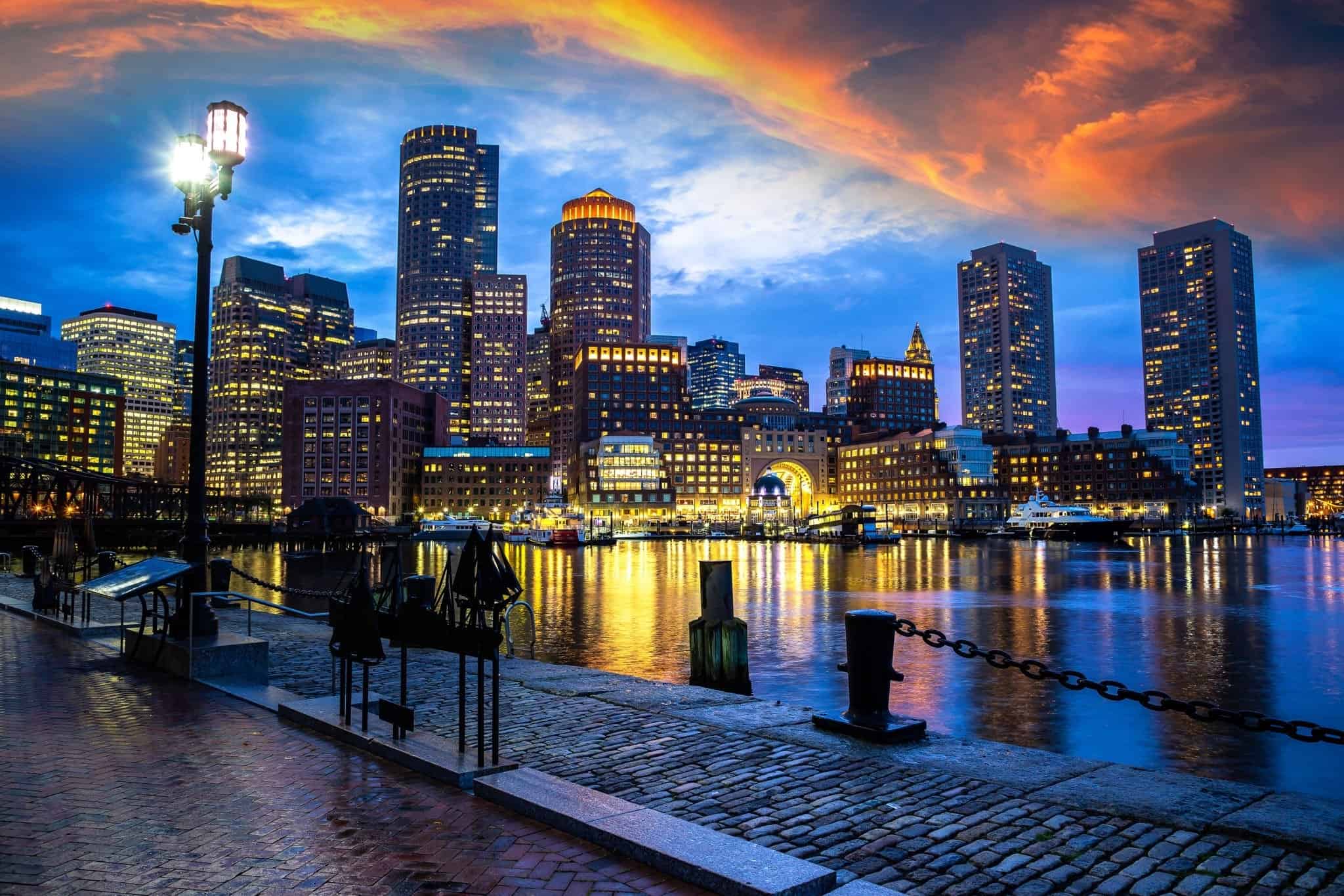
Navigating Boston requires more than just a standard map because the city's distinct neighborhoods rarely align neatly with postal lines. Boston ZIP codes span dense commercial sectors, historic residential enclaves, and sprawling student districts, each holding unique geographic footprints. Whether you're moving to the area, planning a trip, or looking up local logistics, understanding how postal routing intersects with historic municipal borders makes all the difference.
Postal codes in the Hub do not always mirror official city neighborhood definitions. A single ZIP code might cross municipal boundaries or split a historic district into multiple routing zones, while large neighborhoods often encompass several distinct postal codes. Grasping this layout helps you decode addresses, locate major attractions, and understand where residential zones transition into commercial hubs.
Downtown and the Historic Core
The historic heart of the city features some of the lowest and most compact postal designations. These dense sectors pack centuries of architecture, government institutions, and commercial spaces into tight geographic grids.
Beacon Hill and West End (02108, 02114)
- 02108: Covers the historic heights of Beacon Hill, wrapping around the Massachusetts State House and sloping down toward Boston Common. Streets here feature narrow brick layouts and gas lamps.
- 02114: Encompasses the West End and parts of the slopes near the Charles River. This zone includes Massachusetts General Hospital and dense residential high-rises adjacent to the transit lines.
Financial District and Waterfront (02110, 02109)
- 02110: Centers on the bustling Financial District, packed with high-rise office towers, Post Office Square, and corporate commerce.
- 02109: Reaches from the financial blocks toward the waterfront, incorporating historic piers, Faneuil Hall Marketplace, and the North End borders.
The Cultural and Commercial Centers
Moving outward from the immediate downtown core brings you to districts famous for shopping, dining, and distinct cultural identities. Postal boundaries in these areas often reflect major commercial strips or dense brownstone residential grids.
Back Bay and South End (02116, 02118)
- 02116: Captures iconic Back Bay and tiny Bay Village. It features luxury retail along Newbury Street, Copley Square, and rows of historic Victorian brownstones.
- 02118: Dedicated primarily to the South End, known for its historic residential squares, art galleries, and diverse dining establishments.
The North End and Waterfront (02113)
- 02113: Contains Boston's historic North End, often called Little Italy. This compact grid features winding streets, centuries-old landmarks like the Paul Revere House, and dense concentrations of bakeries and cafes.
Academic and Student Enclaves
West of the core, the postal geography shifts dramatically to accommodate large student populations, medical campuses, and dense apartment rentals tied to major universities.
Allston and Brighton (02134, 02135)
- 02134: Identifies Allston, a high-energy neighborhood defined by heavy student populations, music venues, and diverse international dining options along major commercial corridors.
- 02135: Covers Brighton, offering a slightly quieter residential mix of multi-family homes, green spaces like Brighton Common, and tree-lined streets.
Fenway and Kenmore (02215)
- 02215: Centers on the Fenway-Kenmore area. Home to Fenway Park, academic institutions, and bustling student housing blocks, this zone links the western edge of the city back toward Back Bay.
South and East Residential Sectors
As you travel south and across the harbor, the geographic scale expands. These neighborhoods cover vast residential tracts, sprawling parks, and distinct cultural communities.
Dorchester and Mattapan (02122, 02124, 02125)
- 02122, 02124, 02125: These codes span Dorchester, Boston's largest neighborhood. They feature a mosaic of residential squares, local businesses, coastal access points, and cultural institutions like the John F. Kennedy Presidential Library.
Jamaica Plain and Roxbury (02130, 02119, 02121)
- 02130: Encompasses Jamaica Plain, known for its expansive green spaces including Jamaica Pond and the Arnold Arboretum, paired with a vibrant local business district.
- 02119: Covers Roxbury, a historically rich neighborhood featuring cultural landmarks, Franklin Park, and thriving community hubs.
East Boston (02128)
- 02128: Separated by the harbor and connected via transit tunnels, East Boston features sweeping waterfront views, distinct local eateries, and Logan International Airport within its broader sector.
Common Navigation Mistakes to Avoid
Visitors and newcomers often make specific errors when trying to navigate Boston using postal data alone:
- Assuming exact boundary matches: Postal routes change for mail delivery efficiency, meaning they frequently cut across traditional neighborhood lines or group unrelated commercial blocks together.
- Confusing mailing addresses with municipalities: Many surrounding areas share postal prefixes or mailing names associated with Boston while operating under independent local governments.
- Neglecting transit orientation: When planning a route, relying solely on ZIP codes won't tell you which Massachusetts Bay Transportation Authority line to take; always cross-reference postal data with transit maps from the MBTA.
Frequently Asked Questions
Do Boston ZIP codes match official neighborhood boundaries?
No. While postal codes provide a general sense of location, they are designed for mail delivery routes rather than municipal planning. Official boundaries set by the city often group streets differently than postal service maps do.
Which Boston ZIP code covers the downtown shopping district?
ZIP code 02116 covers the major retail hubs around Newbury Street and Copley Square, while 02110 and 02111 cover Downtown Crossing and the financial blocks.
Why do some Boston addresses share mailing names with neighboring cities?
Postal routing hubs sometimes assign primary city names based on regional post offices rather than official municipal borders, creating historical overlaps in suburbs and surrounding districts.
How many ZIP codes are located within Boston proper?
Boston utilizes dozens of distinct postal codes to manage its dense urban layout, spanning from low-numbered downtown codes up through residential sectors in outer neighborhoods.


