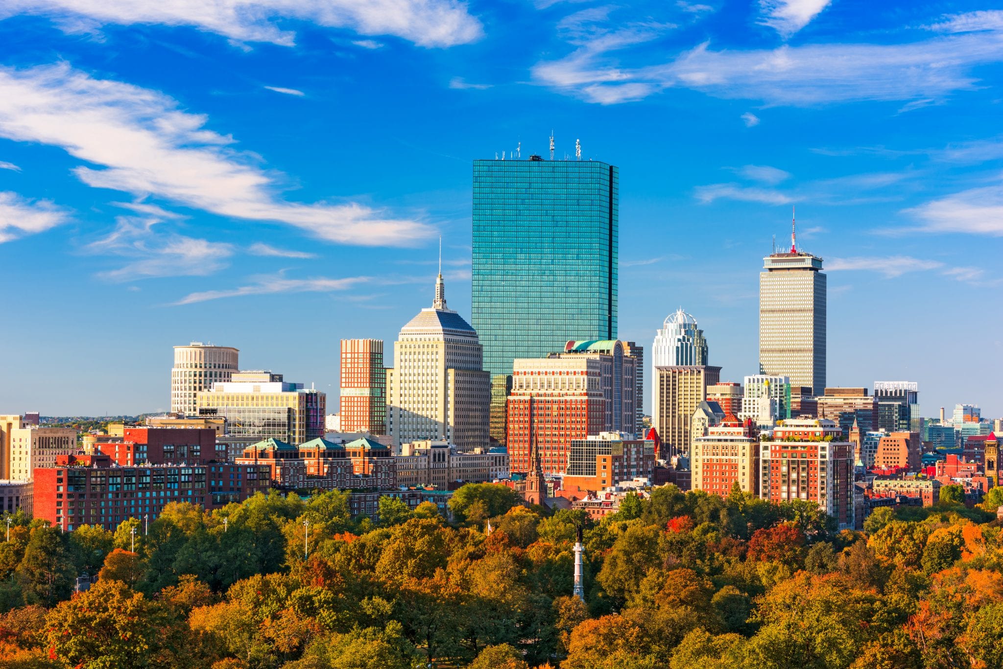
Navigating Boston by postal code saves hours of confusion because postal zones correspond directly to distinct historical neighborhoods, commercial districts, and transit hubs. If you're sending mail, booking rideshare pickups, or looking at real estate, knowing your exact postal zone matters.
Boston zip codes span from 02108 to 02298, mostly falling within the 021xx and 022xx prefixes managed by the United States Postal Service. They don't always follow neat grid patterns because the city grew organically around winding colonial roads, waterfront wharves, and massive landfill projects over four centuries. That's why two addresses across the street from each other can belong to completely different postal zones.
How Boston Postal Zones Are Structured
The United States Postal Service uses a five-digit system where the first three digits identify a major geographic region or distribution center. For Boston, that prefix is typically 021 or 022. The final two digits narrow down the delivery route, specific building, or neighborhood block.
Most major commercial towers in the Financial District, for instance, hold unique single-building postal codes. That means a single skyscraper like 100 Summer Street has its own designated code separate from the surrounding office blocks. Residential areas share broader zones, stretching across entire squares or community pockets.
You'll find that downtown commercial hubs change rapidly. New construction projects often get assigned distinct delivery routes early in the planning phase. If you're moving or shipping heavy goods, always verify the exact recipient postal zone using the official USPS Lookup Tool rather than relying on general neighborhood maps.
Major Neighborhoods and Their Postal Codes
Every Boston neighborhood carries a unique identity, and postal codes reflect those borders. Let's break down the primary districts and their respective zones so you can map your way across the city.
Downtown and the Financial District
The historic core of the city relies on compact, high-density delivery routing.
- 02108: Covers Beacon Hill and parts of the Downtown Crossing retail corridor, including the Massachusetts State House.
- 02109: Encompasses the North End, Faneuil Hall, and the Waterfront. It's a dense mix of narrow colonial alleys and modern high-rise apartments.
- 02110: Centers on the Financial District, taking in Post Office Square and major commercial banking towers near the harbor.
- 02111: Covers Chinatown, the Leather District, and parts of the South Station transit hub.
Back Bay, Beacon Hill, and the West End
Moving west from the center, the street grid opens up into Victorian brownstone avenues and institutional campuses.
- 02114: Spans the West End, Charles River Park, and Massachusetts General Hospital.
- 02115: Captures the Fenway-Kenmore neighborhood, housing Boston University edges, Symphony Hall, and Fenway Park.
- 02116: Covers Back Bay and the South End border, stretching down Newbury Street and Copley Square.
South Boston, Dorchester, and Roxbury
The southern and eastern sections of the city feature sprawling residential communities, historic parks, and industrial corridors.
- 02127: Defines South Boston, stretching from the Broadway Red Line corridor out to Castle Island and the residential waterfront.
- 02118: Covers the South End's historic Victorian brownstone residential blocks and art galleries.
- 02119 and 02120: Span Roxbury, covering Nubian Square, Dudley, and Mission Hill.
- 02121, 02122, 02124, and 02125: Cover the various sections of Dorchester, Boston's largest neighborhood by land area and population.
Charlestown, East Boston, and the Islands
Crossing the harbor or the Charles River brings you to older maritime hubs and airport zones.
- 02128: Encompasses East Boston, including Logan International Airport and Jeffries Point.
- 02129: Covers Charlestown, from the Bunker Hill Monument down to the Navy Yard waterfront.
Common Mistakes When Using Boston Postal Codes
People often trip up on Boston's postal geography because municipal boundaries don't always match postal borders. Here are three common errors to avoid.
Confusing mailing addresses with physical municipalities is a frequent trap. For example, parts of Brookline, Cambridge, and Somerville border Boston tightly, but they maintain entirely separate postal systems. Mail sent with a Boston address label to a Cambridge street will face sorting delays.
Another mistake involves assuming single-digit or double-digit building codes apply everywhere. While skyscrapers downtown often have exclusive zones, standard apartment complexes and brownstones share zone clusters with hundreds of other residents. Don't guess a building's code based on adjacent blocks; check the specific street number range.
Relying on outdated GPS routing data causes delivery errors too. As new residential towers rise in areas like the Seaport District, postal routes shift. Always check official municipal updates through the City of Boston Official Website when registering businesses or setting up official correspondence.
Frequently Asked Questions
Do Boston university campuses have separate codes?
Yes. Large institutions like Harvard University (located across the river in Cambridge with 02138) and Boston University maintain dedicated sorting codes for student housing, administrative offices, and department buildings to handle high volumes of daily mail.
Why do some skyscrapers have their own postal code?
High-rise commercial buildings generate enough daily mail volume to warrant dedicated carrier routes. Assigning a unique code speeds up sorting and delivery for thousands of office workers operating inside a single tower.
How do I find a missing postal code for a new building?
If a newly constructed apartment or commercial space doesn't appear on standard mapping apps, consult the official USPS Look Up Tool or contact your local post office branch directly for active delivery route assignments.
Does the postal code determine school districts or voting wards?
No. Postal codes are strictly designed for mail delivery logistics by the postal service. Boston public school assignment zones and city council voting wards follow entirely different geographic boundaries managed by local government agencies.


