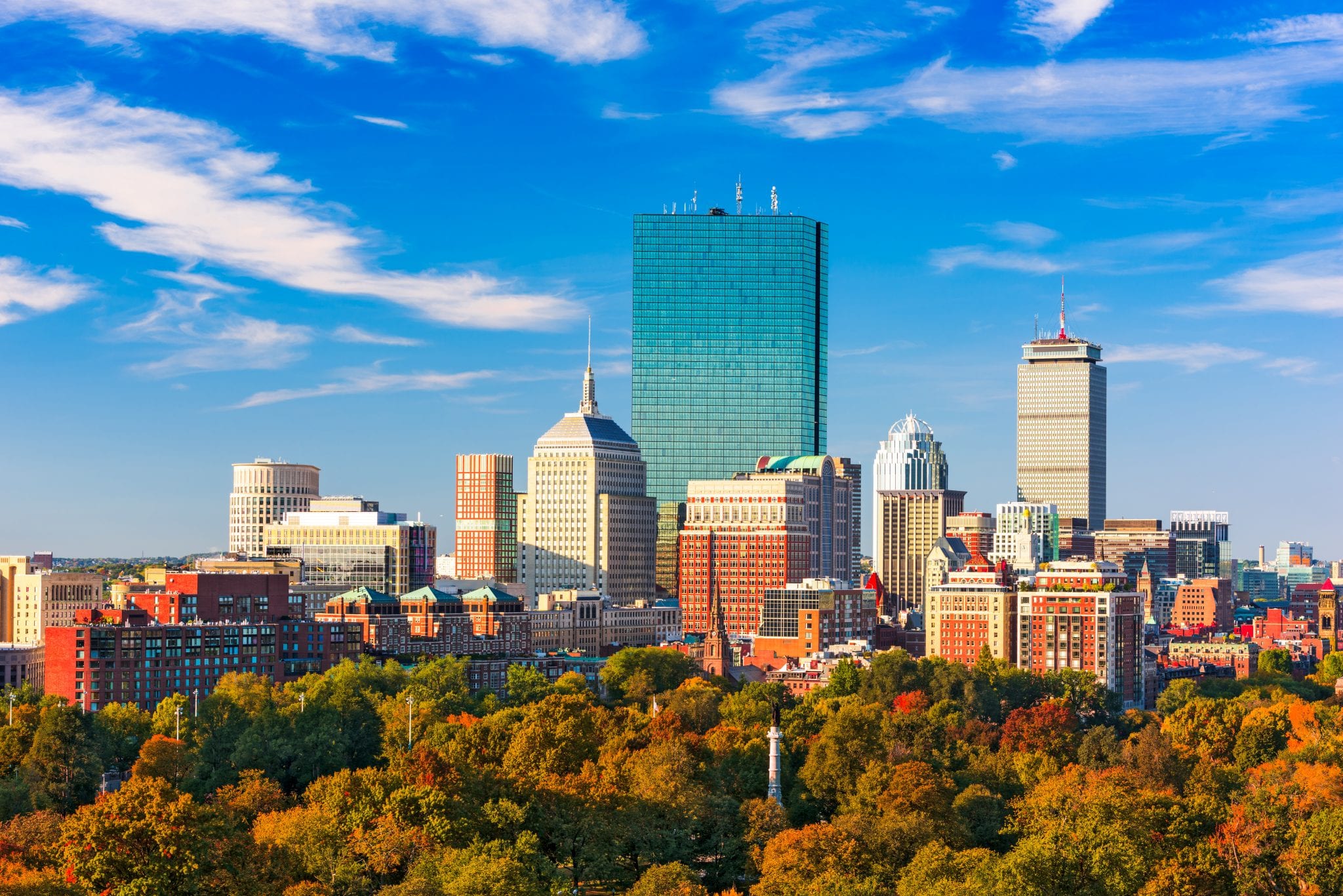
Boston faces an immediate transformation as rising sea levels and shifting weather patterns threaten its historic downtown and working waterfront. Decades of land reclamation have left large portions of the city built on vulnerable fill, compounding the risks posed by stronger coastal storms. City planners, neighborhood groups, and public agencies are actively redesigning urban infrastructure to handle chronic flooding and extreme heat. This transformation serves as a critical model for coastal metropolitan areas worldwide grappling with environmental volatility.
Understanding Boston's climate strategy requires looking at specific vulnerabilities across its 47 miles of coastline. Low-lying areas like East Boston, South Boston, and the financial district face mounting exposure from both tidal surges and extreme precipitation. Municipal initiatives such as Climate Ready Boston and the MBTA Climate Change Resiliency program focus on hardening transit networks, upgrading stormwater drainage, and updating zoning laws to ensure long-term habitability.
The Core Vulnerabilities Facing Boston's Geography
Boston's unique topography dictates its environmental risks. Much of the downtown core rests on historical tidal flats that were filled in over the course of the nineteenth century. These low-lying engineered soils amplify the impacts of storm surges and rising tides.
Sea Level Rise and Tidal Flooding
Projections from regional research groups indicate that Boston Harbor could experience significant sea level rise over the coming decades. High tides, particularly seasonal king tides, regularly push water over existing seawalls and onto coastal roadways. Without intervention, areas that currently experience rare flooding events will see regular inundation during routine high tides.
Extreme Precipitation and Stormwater Surges
Beyond coastal threats, heavier downpours strain the city's drainage infrastructure. The Boston Water and Sewer Commission manages a system that must increasingly cope with intense precipitation events in short windows. When heavy rain coincides with high tides, gravity-fed drainage systems fail, causing street-level flooding in neighborhoods far from the open water.
Urban Heat Islands
Rising temperatures present an acute public health hazard, particularly in dense neighborhoods with limited tree canopy. Asphalt and concrete retain solar radiation, creating localized temperature spikes during summer heatwaves. The municipal heat resilience plan maps these urban heat islands to direct tree-planting grants and cooling infrastructure to the most exposed blocks.
Engineering a Resilient Waterfront
Adapting a legacy city requires a mix of hard engineering, nature-based solutions, and policy overhauls. Boston's strategy rejects a one-size-fits-all approach, tailoring defenses to specific neighborhood characteristics.
- Living Shorelines: Integrating salt marshes, wetlands, and engineered dunes to absorb wave energy naturally before it hits hard infrastructure.
- Elevated Critical Assets: Raising backup generators, electrical switchgear, and mechanical systems above projected flood levels in commercial and residential buildings.
- Deployable Flood Barriers: Installing removable panels and automated gates at vulnerable entry points along the harbor during severe storm forecasts.
- Enhanced Stormwater Retention: Expanding underground storage chambers and permeable pavement networks to capture runoff before it overwhelms treatment plants.
Transit and Infrastructure Hardening
The regional transit network forms the backbone of economic mobility, making its protection essential. The Massachusetts Bay Transportation Authority evaluated rapid transit lines, bus depots, and maintenance yards to identify critical failure points.
- Blue Line Protection: Engineers prioritized vulnerable waterfront segments of the Blue Line near Orient Heights and Aquarium Station, adding flood walls and sealing subterranean vents.
- Subway Tunnel Pumping: Upgrades to emergency pumping systems across underground heavy rail lines prevent cascading electrical failures during major storm events.
- Maintenance Yard Elevation: Bus and train storage facilities located near rivers or the harbor are receiving perimeter flood protection and elevated electrical infrastructure.
Policy, Zoning, and Design Guidelines
Physical construction alone cannot solve urban climate risk. Regulatory frameworks must govern future private development to prevent worsening vulnerability.
The city implemented coastal flood resilience design guidelines that mandate higher elevation standards for new construction and substantial building renovations. Developers must account for future flood elevations over the expected lifespan of the structure. Furthermore, the creation of climate resilience overlay districts ensures that zoning codes legally enforce risk-mitigation measures across high-hazard parcels.
Frequently Asked Questions
Which Boston neighborhoods are most at risk from climate change?
East Boston, South Boston, Charlestown, and the downtown waterfront face the highest exposure to coastal flooding and storm surges. Inland neighborhoods like parts of Dorchester, Roxbury, and Mattapan face greater risks from extreme heat and localized stormwater flooding.
How does Boston fund its climate resilience projects?
Funding comes from a combination of municipal capital budgets, federal grants, state resilience programs, and private developer requirements. Projects eligible for federal backing often coordinate directly with the U.S. Army Corps of Engineers.
Are historical buildings in Boston being modified for climate change?
Yes, preservation guidelines are being adapted to permit discreet flood-proofing measures, such as watertight subterranean seals, temporary barriers, and flood-resilient materials that don't compromise historic architectural integrity.
What is the difference between coastal flooding and stormwater flooding in Boston?
Coastal flooding occurs when ocean water overtops the shoreline due to sea level rise, high tides, or storm surges. Stormwater flooding happens when heavy rainfall exceeds the capacity of local sewer and drainage networks, regardless of proximity to the harbor.


