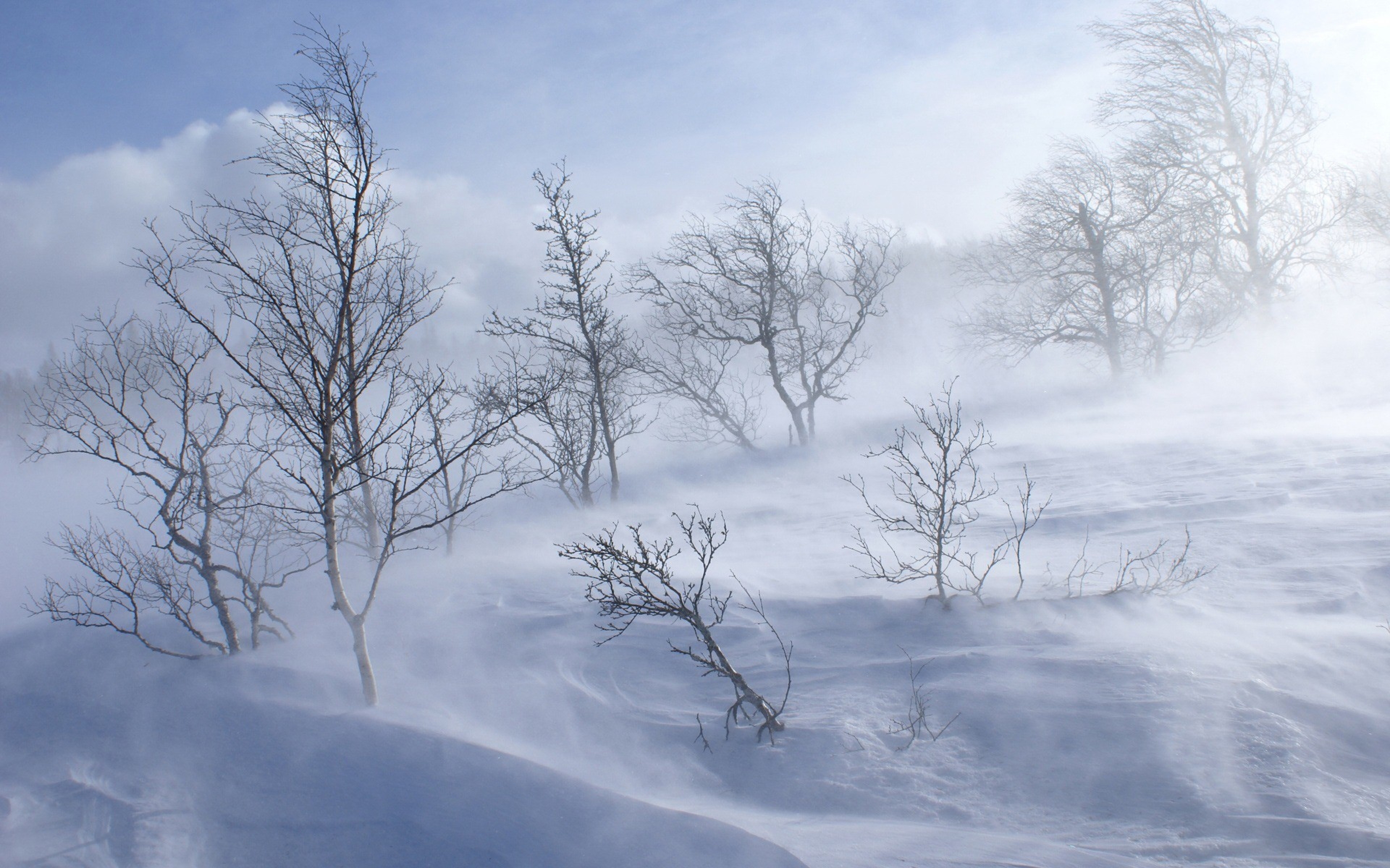
The Blizzard 1977 stands as a defining meteorological turning point for Western New York and Southern Ontario. Striking without conventional modern forecasting warnings on January 28, 1977, the catastrophic weather event paralyzed the region with hurricane-force wind gusts, sub-zero temperatures, and towering snow drifts that reached up to thirty feet. It wasn't just a heavy snowfall; it was a compound disaster born from weeks of unrelenting sub-freezing weather, massive pre-existing snowpacks, and a frozen Lake Erie that transformed loose powder into an unstoppable white wall.
Meteorologically, the storm fundamentally changed how forecasters understood lake-effect dynamics and regional wind convergence. Communities were caught entirely off guard, trapping thousands of drivers on roads and altering emergency response infrastructure forever.
The Preexisting Conditions That Built the Trap
Long before the first snowflake fell on the morning of January 28, the stage was set for disaster. The winter of 1976 through 1977 remains one of the coldest on record across the Great Lakes.
- Extreme Sub-Zero Temperatures: December and January average temperatures dropped roughly 10 to 11 degrees Fahrenheit below normal.
- Unbroken Freezing: The temperature in Buffalo never rose above freezing for the entirety of January, a historical first.
- Massive Snowpack: Constant snowfalls since late December left a snow depth of nearly sixty inches in parts of the region by late January.
- Frozen Lake Surface: Lake Erie froze completely solid, allowing high winds to pick up loose, powdery snow sitting atop the ice pack with zero moisture resistance.
When a sharp cold front collided with moist air masses on the morning of January 28, it acted like a match to a powder keg.
Hour-by-Hour Anatomy of the Whiteout
The storm arrived abruptly near mid-day on Friday, January 28. Within minutes, conditions deteriorated from a manageable winter day into zero-visibility chaos.
At the Greater Buffalo International Airport, winds spiked rapidly. Sustained speeds reached nearly 30 miles per hour, with violent gusts hitting up to 69 miles per hour. Lightning flashed through the darkening sky just as the wall of snow struck. Visibility dropped to absolute zero instantaneously and remained there for hours.
Tens of thousands of workers and school children were released into the approaching tempest. Thousands of vehicles stalled on highways as drivers lost sight of the road. Drifts piled up against homes, sealing doors shut and burying automobiles completely with people still inside. The wind chill plunged temperatures to fifty degrees below zero, turning stranded cars into freezing traps.
You can read historical meteorological logs directly from the National Weather Service Buffalo archive.
Societal Impact and Emergency Response
The paralysis was total. Entire cities ground to a complete halt for nearly a week. Essential services collapsed under the sheer volume of snow and blocked roadways.
- Stranded Commuters: Over 15,000 people were forced to spend the first night of the blizzard stranded in offices, fire stations, and stranger's homes.
- Infrastructure Failure: Over a third of Buffalo's snowplows broke down or were already out for repairs before the storm even peaked.
- Military Assistance: President Jimmy Carter officially declared the region a federal disaster area, deploying the National Guard and heavy equipment to dig out buried streets.
- Prolonged Closures: School districts remained closed for two full weeks, finally reopening on Valentine's Day.
The human cost was devastating. The disaster claimed twenty-nine lives, with several victims found frozen inside their snow-encased vehicles.
How the Blizzard Rewrote Weather Science
Before 1977, weather forecasting relied heavily on sparse radar networks and delayed telemetry. The disaster exposed severe blind spots in regional microclimate tracking.
Meteorologists realized that traditional forecasting models failed to account for localized lake-atmosphere interactions during high-velocity wind events. The disaster forced the National Oceanic and Atmospheric Administration to modernize radar capabilities, improve real-time satellite data integration, and revamp emergency communication protocols between local municipalities and the National Weather Service.
Frequently Asked Questions
How much total snow fell during the Blizzard of 1977?
While the active blizzard phase dropped relatively modest amounts of new snowfall (around 12 inches directly in Buffalo), hurricane-force winds whipped existing snowpacks into massive drifts reaching 30 to 40 feet high. Harder-hit outer counties received significantly heavier lake-effect accumulation totals exceeding 70 inches.
Why was the Blizzard of 1977 worse than regular heavy snowstorms?
The severity came from the combination of pre-existing deep snow cover, a completely frozen Lake Erie, and intense sustained winds reaching nearly 70 mph. This created continuous ground-blizzard conditions where visibility remained at zero long after the actual falling snow subsided.
How did emergency services handle the crisis?
Local infrastructure was quickly overwhelmed. Emergency services relied heavily on civilian snowmobile volunteers who delivered food, medicine, and fuel to stranded residents and hospital workers cut off by impassable drifts.
When did life return to normal in Buffalo after the storm?
It took more than a week for major thoroughfares to be cleared. Schools remained closed for two weeks, and cleanup operations continued well into February before federal aid and military snow-removal equipment fully cleared the secondary residential streets.



