Navigating the tidal movements in Bellingham, Washington requires more than just a quick glance at a daily forecast. Because Bellingham Bay sits within the complex geographic network of the Salish Sea, tidal exchanges are heavily influenced by local bathymetry, narrow channels, and Pacific Ocean swells pushing through the Strait of Juan de Fuca. If you're planning a kayaking trip around Post Point, launching a boat from Squalicum Harbor, or exploring marine life at Marine Park during a minus tide, understanding how these waters shift is essential for safety and success.
Unlike simpler coastal environments, the upper Salish Sea experiences mixed semi-diurnal tides. This means each lunar day brings two unequal high tides and two unequal low tides. Recognizing these shifts helps you avoid getting stranded on mudflats or caught in unexpected rip currents near constriction points like the Bellingham Channel.
Understanding Salish Sea Tides in Bellingham Bay
The rhythmic pulse of Bellingham Bay is tied directly to the broader hydrodynamics of Puget Sound and the Georgia Strait. When the ocean tide rises, water floods into the inland sea, splitting around islands and rushing past headlands before filling local bays.
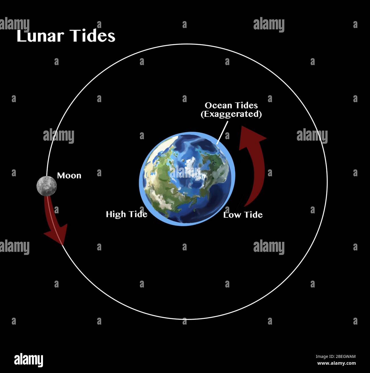
Tidal ranges in Bellingham frequently exceed ten feet between extreme highs and lows. During spring tides—which happen around new and full moons—the gravitational pull of the sun and moon align, creating higher highs and much lower lows. Conversely, neap tides occur during quarter moons, producing a more muted tidal range where water levels don't drop or rise as drastically.
Why Bellingham Tides Differ From Open Ocean Forecasts
If you rely on open ocean tide predictions, you'll find yourself out of sync in Bellingham. Local topography plays a massive role in delaying and reshaping the tide. Water takes hours to travel from the outer coast through the Strait of Juan de Fuca and up into Whatcom County.
Frictional drag against shallow shorelines and narrow passages causes tidal lag. Always use local monitoring stations, such as the NOAA Tides & Currents Data for Bellingham, rather than generalized West Coast predictions. Local wind patterns also superimpose themselves onto astronomical tides. Sustained high-pressure systems or strong southerly winds can push water higher than predicted, leading to minor coastal flooding during winter high tides.
Practical Applications for Mariners and Paddlers
Whether you're operating a motorized vessel or a paddleboard, timing your movement with the local current can save fuel, energy, and time.
Navigating Squalicum Harbor and Local Marinas
- Check local depth clearances: Sailboats with deep keels must pay close attention to low tide windows, particularly in silt-heavy areas near river mouths or secondary slips.
- Mind current bottlenecks: While Bellingham Bay itself features relatively gentle currents compared to narrow passes like Deception Pass, localized bottlenecks near island chains create swirling eddies and speed variations.
- Plan slack water transits: If you plan to travel through nearby channels into outer island waters, always aim for slack water to avoid fighting cross-currents.
Exploring Intertidal Zones Safely
Low tides reveal rich marine ecosystems along Boulevard Park and Locust Beach. If you're heading out to explore tide pools:
- Check the local tide table for minus tides (readings below 0.0 feet relative to Mean Lower Low Water).
- Arrive roughly 45 minutes before the exact low-tide mark to maximize your exploring window.
- Keep an eye on the water line; flood tides in the Salish Sea can move surprisingly fast across flat gravel beaches, cutting off return paths against rocky cliffs.
Preparing for Seasonal Water Level Changes
Seasonal shifts alter how tides impact the Bellingham waterfront. Winter storms bring low-pressure systems that elevate sea levels above predicted astronomical heights. A standard high tide combined with a severe winter storm surge can swamp low-lying coastal paths and parking areas near Zuanich Point Park.
Summer months often bring calmer weather, but afternoon thermal winds can kick up choppy surface conditions even during favorable tidal stages. Checking both the National Weather Service marine forecasts and local wind reports alongside your tide app ensures you won't encounter unexpected hazards on the water.
Frequently Asked Questions
How many high and low tides occur each day in Bellingham?
Bellingham experiences a mixed semi-diurnal tidal pattern, meaning there are typically two high tides and two low tides every 24 hours and 50 minutes. These individual highs and lows vary significantly in height from one another.
What is a minus tide and when does it happen?
A minus tide refers to a low tide that drops below the Mean Lower Low Water (MLLW) baseline, denoted with a negative number on tide charts. These occur most frequently during spring tides associated with new or full moon phases.
Can wind affect tide levels in Bellingham Bay?
Yes. Strong regional winds, particularly sustained southerly or westerly blows, push water against the eastern shore of the Salish Sea. This meteorological effect can raise actual water levels several inches higher than standard astronomical predictions.
Where can I find official, real-time tide data for Bellingham?
The most accurate data comes from official federal monitoring resources. You can review verified water levels and meteorological observations directly through the National Ocean Service.


